

Description
Tourism in the Ain department on foot and by bike
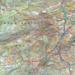
The new IGN TOP100 map of Ain guides you through these different environments, with these numerous protected natural areas (regional natural parks, nature reserves, etc.) preserving a rich and varied fauna and flora. Go hiking or cycling in the Jura massif to the plains of Bresse, passing by the banks of the Rhône. Cross forests, meadows, vineyards and atypical villages. The landscapes of Ain can be very contrasting, going from the Jura mountains to the plains of Bresse, thus offering a wide variety of microclimates.
For hikers: "Hiking enthusiasts will find what they are looking for thanks to the dense network of long-distance hiking trails (GR) and the many marked hiking routes. The detailed contour lines make it easy to assess the difference in altitude and choose routes suitable for all levels."
For cyclists: "Cyclists will appreciate the many cycle routes, in partnership with AF3V, which crisscross the roads and cycle paths of Ain. The map clearly indicates the different types of surface and the level of difficulty of the routes."
For families: "For a family discovery, the map is ideal. It allows you to plan outings according to each person's interests: beaches, natural parks, historical sites... The clear legends and illustrations make it easier for the youngest to understand."
This map includes:
- Historical and cultural heritage information
- Detailed relief: The contour lines allow you to understand the relief and choose your routes according to your level.
- Tourist information: Easily find accommodation, water points, picnic areas and emergency services.
- Long-distance hiking routes: GR9, GR59, GR509, GR Balcon du Léman, GRE4, GRP variant, GRP from the Ain Valley to the Cerdon region, GR76 (A,C,D), GR765 North,
- Cycle route, greenways and Eurovélos: La ViaRhôna
To each his own route with route ideas for diverse and varied nature activities.
Features
Name
Carte Ain - Bourg-en-Bresse IGN TOP 100
Length
121.00 cm
Width
100.00 cm
Height
0.50 cm
Weight
0.100 kg
carte
Type
Map
This might interest you
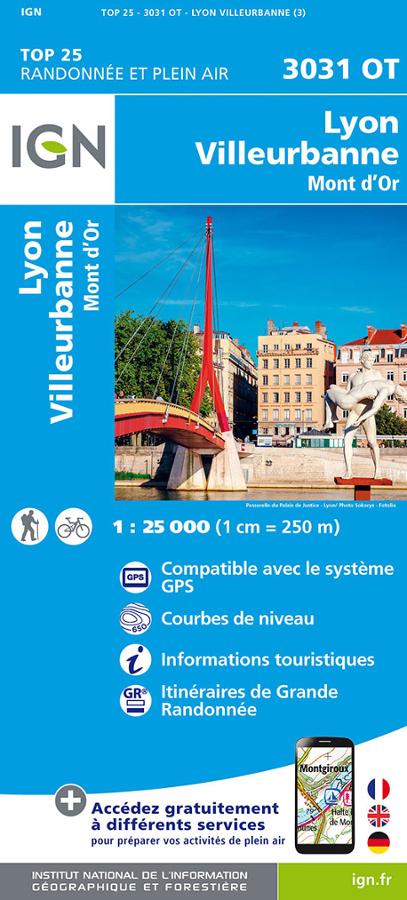
Carte IGN - Lyon, Villeurbanne
Carte IGN 3031 OT randonnée et plein air au 1:25 000 autour de Lyon, Villeurbanne et le Mont d'Or avec itinéraires de Grande randonnée.
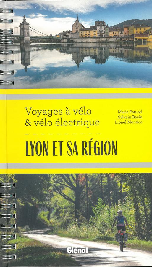
Lyon et sa région - Voyages à vélo et vélo électrique
Guide de randonnée cyclable sur Lyon et sa région à la découverte des Monts Lyonnais, du haut Bugey, la Via Fluvia et la Via Rhôna à travers 8 itinéraires sur-mesure.
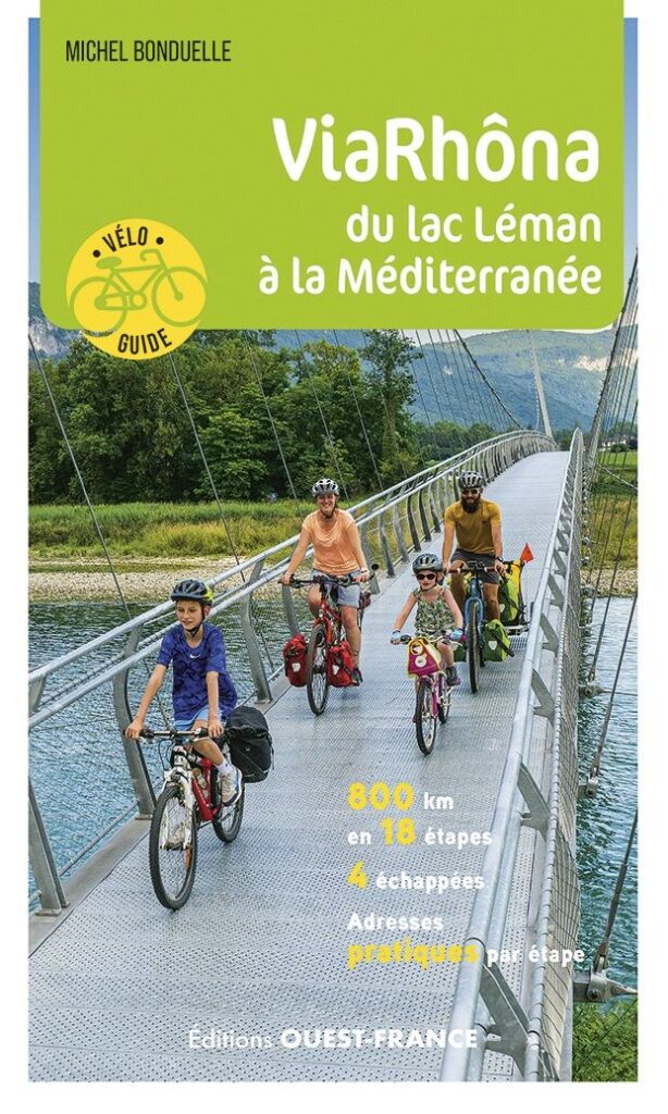
ViaRhôna from Leman lake to the Mediterranean sea
Plan your ViaRhôna trip with this Ouest-France cycling guide. From Geneva to the Mediterranean, it accompanies cyclists on over 800 km of route along the Rhône. Detailed maps, stages, accommodations, tourist sites, and practical advice help you plan your journey with complete peace of mind.