Description
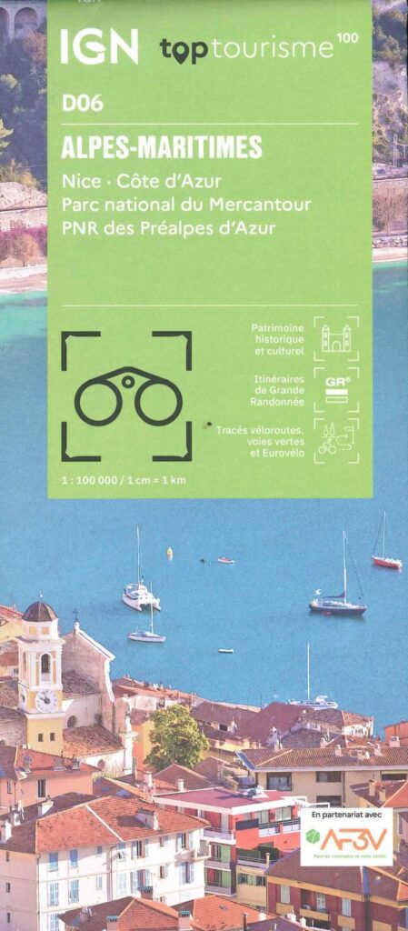
IGN map of the Alpes-Maritimes
The TOPTourisme series returns with a complete revision including an updated departmental breakdown. With its new scale of 1:100,000 (1 cm = 1 km), the TOP 100 offers the perfect map for preparing and exploring the Alpes-Maritimes region via Nice, the Côte d'Azur, the Mercantour National Park . The cycle routes are specially designed in partnership with the AF3V association and the FFRP - VéloRoutes et Voies Vertes, guaranteeing a safe and enriching experience.
This card includes:
- PNR of Préaples d’Azur
- Historical and cultural heritage information
- Long-distance hiking routes
- Cycle routes, greenways and Eurovélos
Everyone has their own route with route ideas for diverse and varied nature activities.
Features :
- Edition: 2024
- Language: French, English, German
- Flat dimensions: 121 x 100 cm
- Dimensions folded: 25 x 11.1 cm
- Printing: Single sided
- scale: 1/100,000
- Weight: 0.100 kgs
- Publisher: IGN
Features
Name
Carte Alpes Maritimes - Nice, Côte d'Azur, PNR du Mercantour IGN TOP 100
Length
11 cm
Width
1 cm
Height
25 cm
Weight
0.03 kg
Language
English, French, German
Type
Map
This might interest you
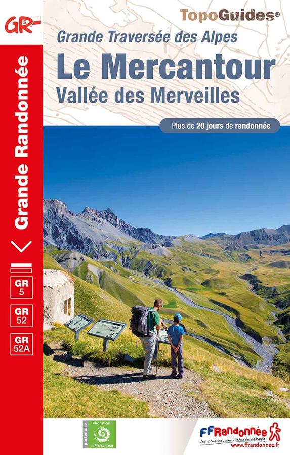
Grande traverse des Alpes - Le Mercantour - Vallée des Merveilles
Parcourez les GR®5, GR®52 et GR®52A dans le Mercantour à travers les Alpes-Maritimes et les Alpes-de-Haute-Provence avec ce topoguide FFRP.
Les plus belles randonnées visorando des Alpes
The 62 most beautiful Visorando hikes through the Alps from Chartreuse to Mercantour, with a qr code for each hike.