


Description
Doubs hiking and cycling map
2024 Edition. The Doubs is a popular destination for hiking and cycling enthusiasts, offering a diversity of landscapes between the Jura mountains, forests and green valleys. Hiking trails, such as the GR5, cross spectacular natural sites such as the Saut du Doubs. Cyclists can explore the region by following the EuroVelo 6, which runs along the Doubs and offers superb views of the surrounding countryside. Whether for a leisurely stroll or a more sporty adventure, the Doubs promises unforgettable experiences in the heart of nature.
Discover Besançon, Pontalier, the Montbéliard region and the PNR du Doubs Horloger.
This map includes:
- Historical and cultural heritage information
- Long-distance hiking routes: GRE2, GR5, GRP, GR145,
- Cycle routes, greenways and Eurovélos: Eurovelo 6
- To each his own route with route ideas for various and varied nature activities.
Features
Name
Carte Doubs - Besançon, Pontarlier IGN TOP 100
Length
11 cm
Width
1 cm
Height
25 cm
Weight
0.100 kg
Language
French English German
Scale
1/100 000
Type
Map
This might interest you
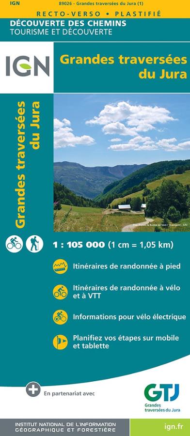
Grandes traversées du Jura - carte IGN
Carte IGN série découverte des chemins au 1/105 000 sur la Grande Traversée du Jura avec itinéraires de randonnées vélo et pédestres et planification des étapes.
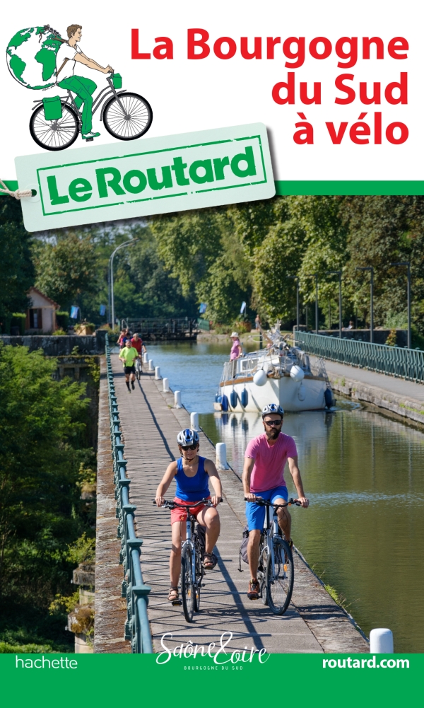
La Bourgogne du Sud à vélo
Explore southern Burgundy by bike with this Routard guide dedicated to cycling routes in Saône-et-Loire. From Cluny to Beaune, from Chalon-sur-Saône to La Bresse, from the Morvan to the Brionnais, this guide accompanies cyclists on nearly 600 km of greenways, cycle routes, and bike paths. A practical companion for planning a weekend, a loop, or a cycling trip in Burgundy.
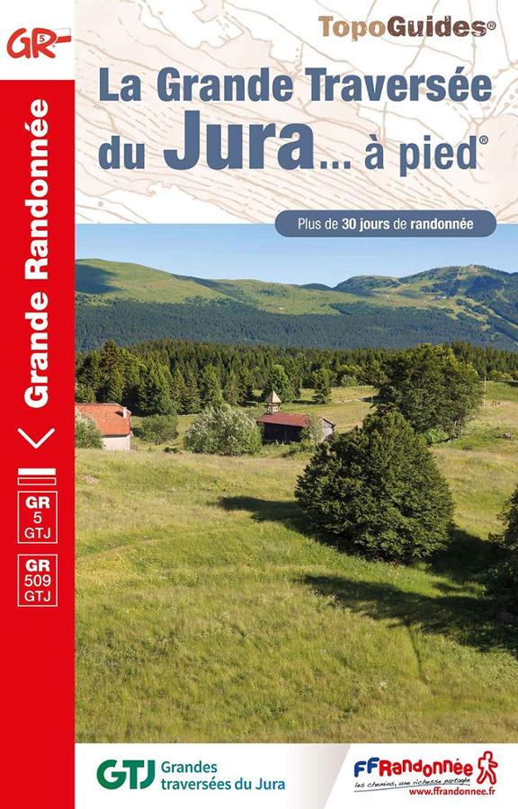
La Grande Traversée du Jura à pied - GR5-GR9-GRPAYS-GR509
Topoguide FFRP sur la grande traversée du Jura à pied. Plus de 30 jours de randonnée dans des sites naturels grandioses du Doubs à l'Ain.