


Description
Gard hiking and cycling map
Hiking enthusiasts can explore the Cévennes trails with their breathtaking panoramas and unusual villages. The famous Pont du Gard and its surroundings also offer routes accessible to all.
For cyclists, the ViaRhôna along the Rhône and the Vaunage greenway offer safe and pleasant routes. Along the way, you will discover the Costières de Nîmes vineyards, the Gardon gorges, and historic sites such as the city of Uzès. Between nature, culture and gastronomy, the Gard offers unforgettable adventures for walkers and cyclists.
This map includes:
- Historical and cultural heritage information
- Long-distance hiking routes: GR42, 653, 67, 7, 71, 70, 63, 653, GRE7
- Cycle routes, greenways and Eurovélos: the Mediterranean by bike, the ViaRhôna
To each his own route with ideas for routes for various and varied nature activities.
Features
Name
Carte Gard - Nîmes, Alès, Pont du Gard, Aigues-Mortes IGN TOP 100 -
Length
11 cm
Width
1 cm
Height
25 cm
Weight
0.100 kg
Language
English, French, German
Scale
1/100 000
Type
Map
This might interest you
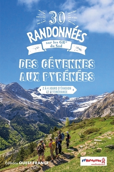
30 randonnées sur les GR® du sud, des Cévennes aux Pyrénées
Ouest-France guide to the 30 most beautiful hikes on the FFRandonnée marked hiking trails between the Cévennes and the Pyrenees over 2 to 4 days.
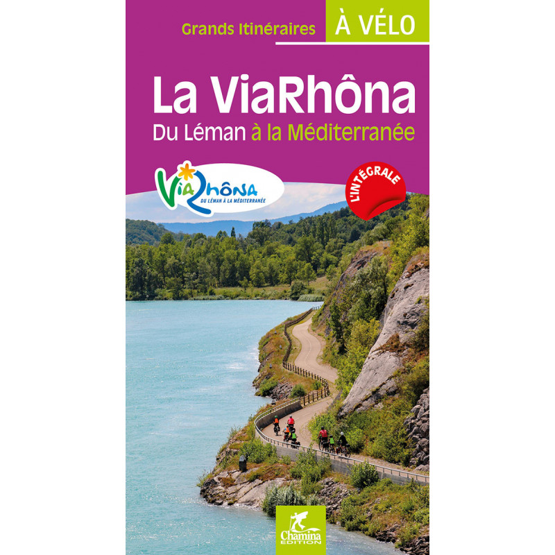
La ViaRhôna, du Léman à la Mer Méditerranée
ViaRhôna cycling guide: 829 km from Lake Geneva to the Mediterranean, 38 detailed stages, IGN maps, useful addresses and tips to make your trip on the sun cycle route a success.
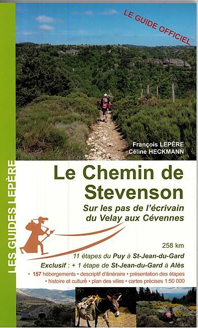
Le Chemin de Stevenson, sur les pas de l'écrivain du Velay aux Cévennes
The official guide for walkers on the Chemin de Stevenson du Velay aux Cévennes, an 11-stage route from Le Puy to St-Jean-du-Gard.