
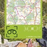

Description
Haute-Loire hiking and cycling map: by bike, by car or on foot
The Haute-Loire department, located in the heart of the Auvergne region, is a paradise for hiking and biking enthusiasts. The vast plateaux of the Velay, the wild gorges of the Allier, and the dormant volcanoes offer a diversity of landscapes conducive to escapism. Hikers can follow mythical trails such as the GR65, part of the famous route to Santiago de Compostela, while cyclists will appreciate the varied itineraries through forests, medieval villages and winding rivers.
The Voie Verte du Velay, for example, is ideal for a leisurely family outing. This département invites you to discover unspoilt nature and a rich cultural heritage at every turn.
This map includes :
Historical and cultural heritage info
Grande Randonnée routes: GRP around Issoire, GRP Robe de Bure et Cotte de Maille, GR40, GR3F, GR765 East and West, GR430, GRP Gorges de la Loire, GR65, GR420, Tour de Margeride, GR470, GR700
Cycle routes, greenways and Eurovélos: La Via Allier (V70), La Via Fluvia (V73)
To each his own, with route ideas for a variety of nature activities.
Features
Name
Carte Haute Loire - Le Puy en Velay, Brioude, Gorges de l'Allier IGN TOP 100
Length
11 cm
Width
1 cm
Height
25 cm
Weight
0.100 kg
Language
English, French, German
Scale
1/100 000
Type
Map
This might interest you
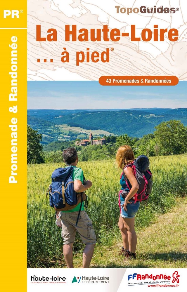
La Haute-Loire à pied
FFRP hiking guide for the Haute-Loire with a selection of 43 walks and hikes across the Auvergne and around Le Puy-en-Velay.
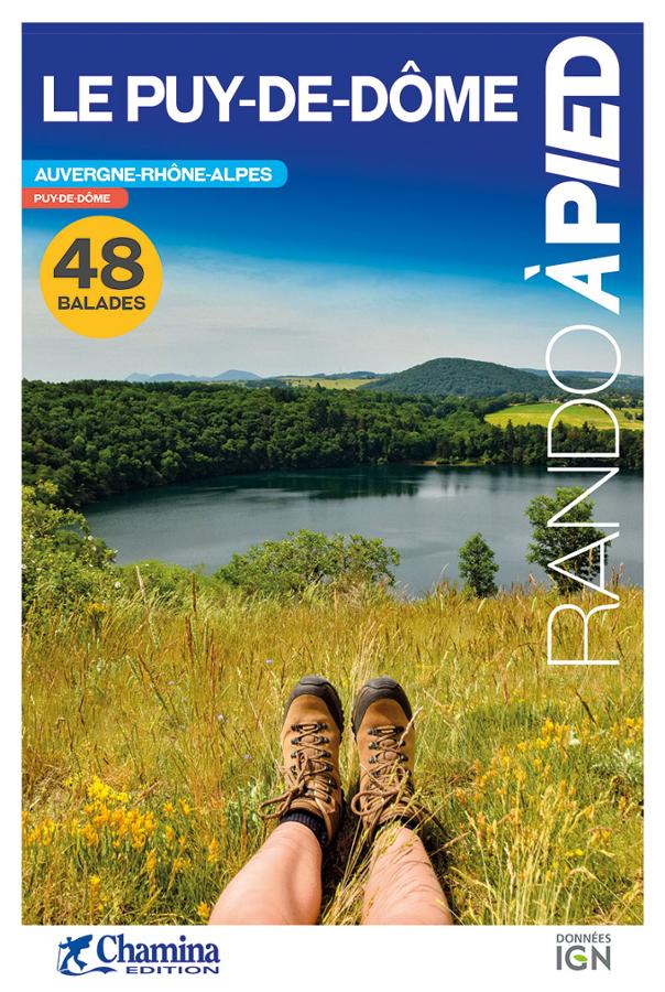
Le Puy-de-Dôme - rando à pied
Topoguide complet et pratique de 48 randonnées dans le Puy-de-Dôme avec cartes IGN, centres d'intérêts et adresses pratiques.
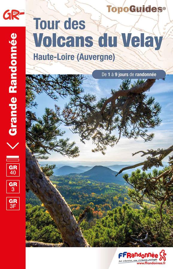
Tour des Volcans du Velay - GR® 40 et le GR® 3
Topoguide FFRP on the tour of the Volcanoes of Velay in Haute-Loire on the GR40 and the GR3 from 1 to 9 days hiking in Auvergne.