


Description
Tourism in the Haute-Saône department on foot and by bike
The new IGN TOP100 map of Bas-Rhin invites you to discover the riches of this French department:
- The plateaus: The department is also marked by hilly plateaus, ideal for hiking and mountain biking.
- The forests: Vast forests cover a large part of the territory, offering an ideal setting for nature lovers.
- The mountains: Although the Haute-Saône is not a mountainous region, you will find some more pronounced reliefs, such as the Vosges massif in the northeast.
For hikers:
- GR5: Major long-distance route crosses the Northern Vosges.
- GR 59: It connects the Vosges to the Jura, thus crossing the Haute-Saône.
- GR 533: It connects the Ballon d'Alsace to the Loue valley. It offers a varied route, alternating forests, meadows and villages.
For cyclists (in partnership with AF3V,):
- The Blue Way (V50): This cycle route is part of the national network and crosses the Haute-Saône for around 140 kilometres. It follows the Saône valley and offers varied landscapes, between forests, rivers and picturesque villages.
- The Green Way: It is built on an old railway line and connects Vesoul to Loulans-Verchamp. Ideal for a family ride to discover nature.
- Green Way of the Ognon Valley: It connects Lure to Montagney-Servigney and crosses green rural landscapes. Perfect for a quiet ride in the countryside.
- Green Way Marnay - Emagny: It follows the Ognon valley and offers a peaceful route through the fields.
- Green Way Lure - Villersexel: It connects the two towns and crosses varied landscapes.
This map includes:
- Historical and cultural heritage information
- Detailed relief: The contour lines allow you to understand the relief and choose your routes according to your level.
- Tourist information: Easily find accommodation, water points, picnic areas, etc.
To each his own route with ideas for routes for various and varied nature activities.
Features
Name
Carte Haute Saône - Vesoul, Lure, Vallée de la Saône IGN TOP 100
Length
121.00 cm
Width
100 cm
Height
0.50 cm
Weight
0.100 kg
Language
English, French
Scale
1/100 000
Type
Map
This might interest you
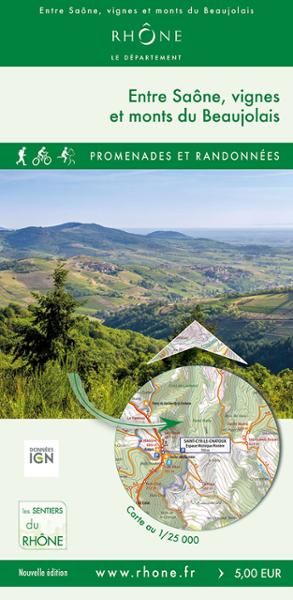
BETWEEN SAÔNE, VINEYARDS AND BEAUJOLAIS MOUNTAINS
This map of 40 loops of walks and hikes, on foot, by bike and on horseback, will allow you to discover towns like Montmela-Saint-Sorlin, Gleizé, Limas, the Beaujolais mountains.
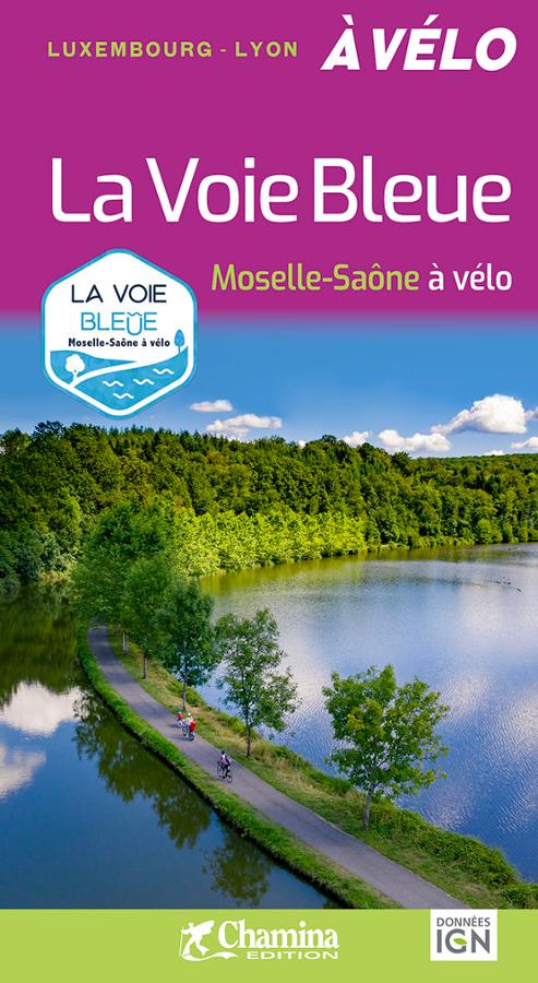
La Voie Bleue - Moselle - Saône à vélo
Set off on the Blue Route by bike with the Chamina guide! 700 km from Apach (Luxembourg border) to Lyon. IGN maps, detailed stages, alternative routes (Dijon, Nancy, Beaune) and recommended places to stay. The essential guide for a cycling trip along the waterways.
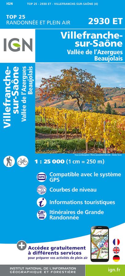
TOP25 Villefranche-Sur-Saône
Map of hiking and outdoor activities in Villefranche-sur-Saône, Azergues valley and Beaujolais TOP 25.