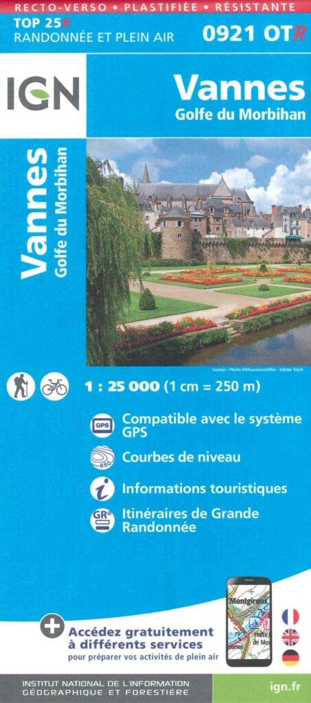
Description
Around Vannes, hiking and biking
This 1:25,000 IGN map (1 cm = 250 m) will help you discover Vannes and the surrounding area (Golfe du Morbihan).
It is GPS-compatible. You can also obtain tourist information and Grande Randonnée itineraries.
Features
Name
IGN TOP 25 map - Vannes and its Surroundings
Length
20 cm
Height
13 cm
Weight
0.070 kg
Type
Map
This might interest you
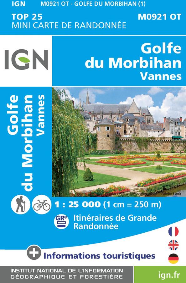
Golfe du Morbihan - Vannes - mini carte IGN
Mini carte IGN TOP 25 sur le Golfe du Morbihan et Vannes en Bretagne au 1/25 000 avec les itinéraires de grande randonnée à vélo et à pied.
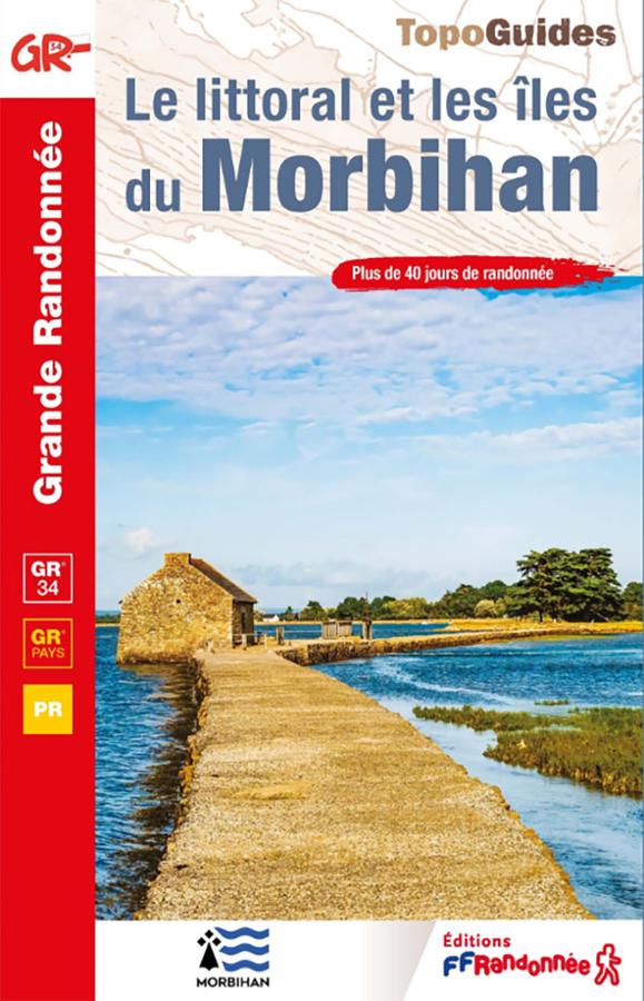
Topoguide GR®34 – Le littoral et les îles du Morbihan
Hike the GR®34 in Morbihan with this FFRandonnée guidebook. From Lorient to La Roche-Bernard, the route follows the Breton coastline for 22 days and 510 km. It also includes the Tour of Belle-Île-en-Mer, as well as 19 day or half-day walks around Groix, Houat, and Hoëdic.
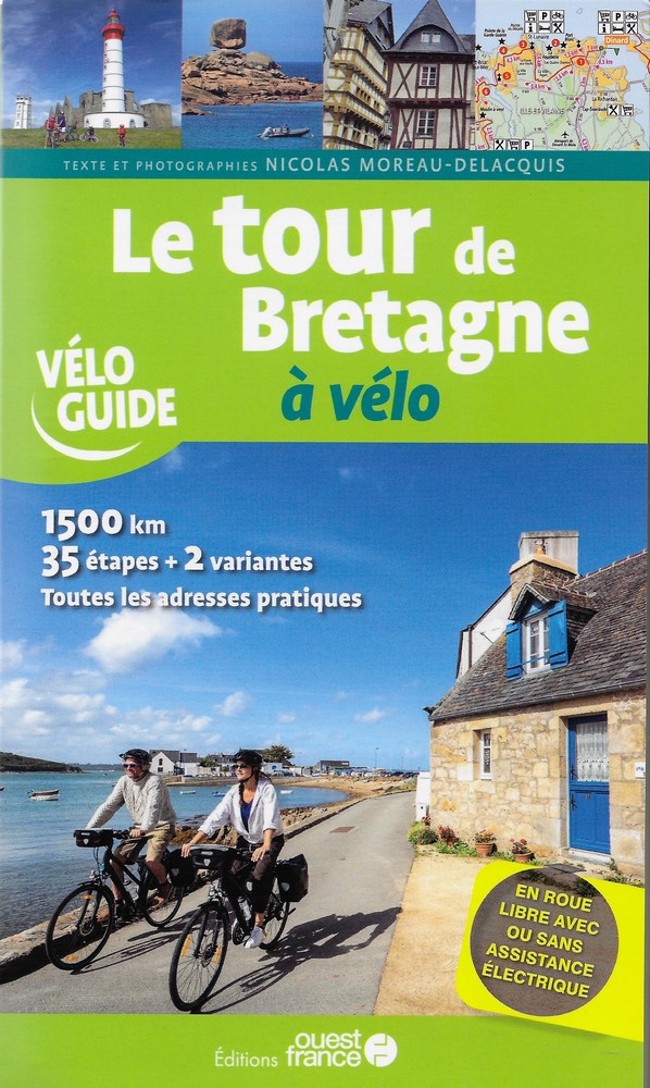
Le Tour de Bretagne à vélo
Guide to cycling around Brittany: complete itinerary from Saint-Malo, 35 stages, detailed maps, must-see sites and tips for discovering Brittany by bike.