
Description
Map IGN Ile de Noirmoutier TOP 25
Hiking and outdoor map with long-distance hiking and biking trails on the island of Noirmoutier, Beauvoir-sur-mer and the Marais Breton.
The IGN map includes :
- 1:25,000 scale map
- GPS compatible
- Contour lines
- Tourist information
- Long-distance hiking itineraries
Features :
- Edition: 2024
- Language : French and English
- Dimensions : 25 X 11.1 cm
- Scale : 1/25 000
- Weight : 0.110 kgs
- Publisher: IGN
Features
Name
Ile de Noirmoutier - TOP 25 - 1125 OT
Length
11.5 cm
Height
25 cm
Weight
0.11 kg
Language
French
This might interest you
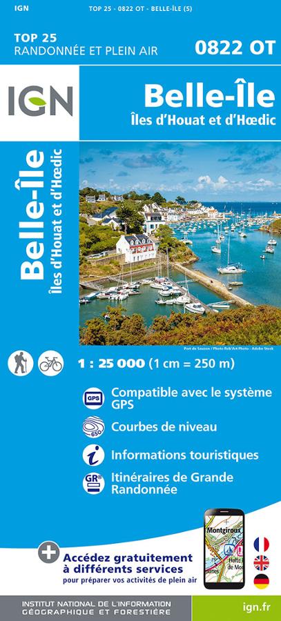
Carte IGN, Belle Ile, Ïle d'houat et d'Hoedic
IGN Belle Ile, Iles d'Houat et d'Hoedic N° 0822OT 1/25000 hiking and outdoor map with long-distance hiking itineraries.
13,40€
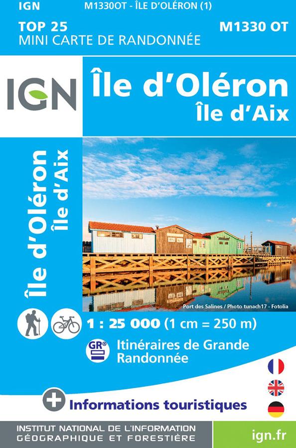
Carte IGN, Ile d'Oléron (île d'Aix) 1330 OT
Carte IGN de randonnée et plein air, à pied ou à vélo, sur l'île d'Oléron au 1 : 25 000 (1 cm = 250 m)
13,90€
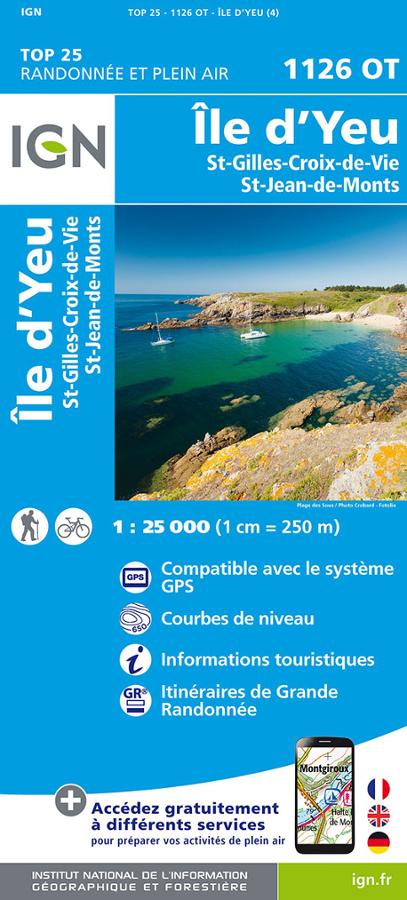
Ile d'Yeu - 1126 OT - Carte de randonnée IGN
Carte IGN de l'Île d'Yeu, St-Gilles-Croix-de-Vie, St-Jean-de-Monts et le marais breton. carte de randonnée à vélo et à pied.
13,40€