Description
A Rother Hiking Guide to Ireland
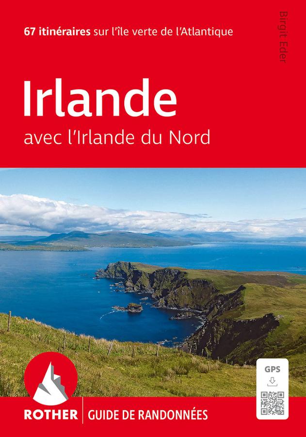
The Rother Ireland guide is designed for travelers wishing to explore the island on foot. It helps you plan hikes in a country renowned for its dramatic landscapes, rugged coastlines, rolling green hills, and wide-open spaces.
Ireland offers a diverse range of settings. You can hike facing the Atlantic, traverse windswept moorlands, walk alongside lakes, climb modest yet panoramic peaks, or visit villages where a warm welcome is an integral part of the journey.
This guide is an excellent companion for planning an active getaway. It helps you choose routes based on your preferences—whether it’s a coastal stroll, a mountain hike, a valley loop, a peninsula trek, or a more leisurely outing in the heart of the Irish countryside.
From Wicklow and Kerry to Connemara and the Atlantic Coast
Ireland is a prime destination for walking enthusiasts. The landscapes shift rapidly; a single day might combine the sea, peat bogs, hills, cliffs, farm tracks, and small villages.
The most famous hiking areas immediately evoke the spirit of walking travel: the Wicklow Mountains, the Kerry peninsulas, the rugged terrain of Connemara, the cliffs of the west coast, as well as the lakes, islands, and coastal paths. This guide helps you plan these explorations and select outings best suited to your fitness level.
It is suitable for both regular hikers and casual holiday walkers. Furthermore, the Rother guide format is widely appreciated for its practicality—easy to slip into a bag during your trip.
A Practical Tool for Planning Your Hiking Trip
This guide is a useful resource for organizing a nature-focused trip to Ireland. It allows you to anticipate walking times, access details, difficulty levels, and key points of interest along the routes. This is particularly important in a country where the weather can change rapidly and the terrain shifts between trails, back roads, moorlands, and wetter stretches.
It complements a road map, local hiking map, or GPS app perfectly. The guidebook helps you select hikes, while a map allows you to maintain a broader view of the area.
Finally, the Rother Ireland guidebook is a wonderful gateway to discovering the island from a different perspective. It encourages you to take your time, walk away from main roads, and fully enjoy the Irish landscapes.
Guide highlights:
- Rother guidebook dedicated to hiking in Ireland
- Ideal for planning a nature and walking trip
- Routes through iconic Irish landscapes
- Coastal walks, mountain hikes, and moorland treks
- Practical tool for choosing routes based on your fitness level
- Useful for exploring Wicklow, Kerry, Connemara, and the Atlantic coast
- Great complement to a map or GPS app
- Format suited for travel and on-the-ground planning
- Suitable for both regular hikers and holiday walkers
- Inspiring guide for a walking trip in Ireland
FAQ
Who is the Rother Ireland guidebook for?
It is designed for travelers who wish to explore Ireland on foot, whether for a few casual walks during a trip or for a dedicated hiking holiday.
Is this guide suitable for a first hiking trip to Ireland?
Yes. It helps you identify diverse routes and better organize your trip based on your fitness level, the weather, and the regions you plan to visit.
Which regions of Ireland can be explored on foot?
Ireland offers many areas perfect for walking, such as Wicklow, Kerry, Connemara, the west coast, the Atlantic peninsulas, the lakes, and the moorlands.
Do I need a map as well? Yes, a local or road map remains useful for visualizing access points, planning trips, and maintaining an overview of the region you are exploring.
Why choose a Rother guide for Ireland?
Rother guides are valued for their hiking-focused approach, practical format, and selection of routes. They allow you to plan your outings using a clear, field-oriented resource.
Features
Name
Rother Guide: Ireland – Hiking
Width
11.5 cm
Height
16.4 cm
Weight
0.24 kg
Language
French
pubication
2026
Publishers
Rother
Type
Guide
This might interest you
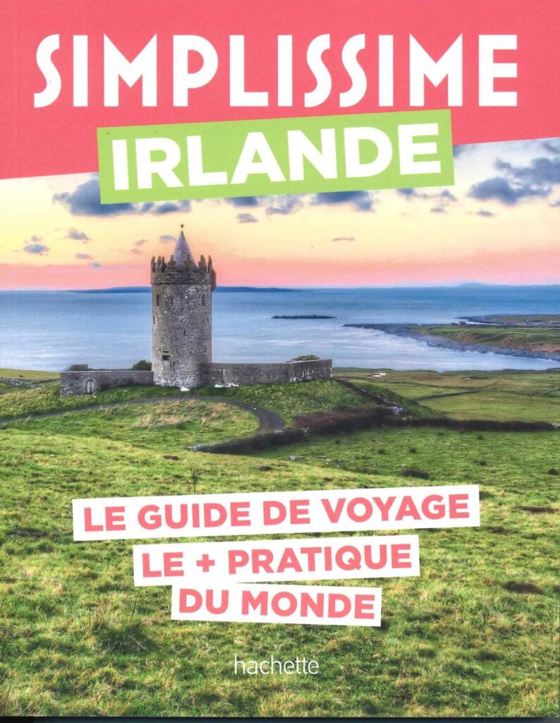
Ireland is so simple
Don't hesitate any longer, this guide will help you discover Ireland with complete peace of mind. A guide in the ideal format, countless information to best organize your stay, accommodation, advice, tourist information, maps, etc.
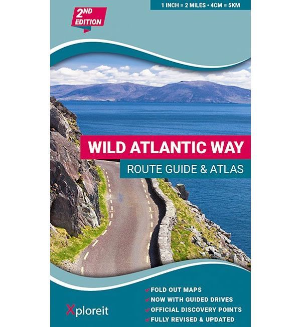
Wild Atlantic Way Irlande - Côte ouest de l'Irlande
Atlas regroupant 30 cartes le long du Wild Atlantic Way, la côte ouest irlandaise. Légende en français entre autres. échelle de la carte: de 3 km à 1 pouce. 1: 126 720.