


Description
Hiking around Lake Geneva
A few anecdotes about Lake Geneva...
Lake Geneva, or Lac Léman/Lac de Genève in French, is about 73 km long and 14–15 km wide. It is the largest lake in Western Europe! In his “Confessions,” Jean-Jacques Rousseau, a native of Geneva, wrote: "Go to Vevey, visit the country, and take a walk on the lake." He added, “Say whether nature didn’t make this beautiful country for a Julie, Claire, and Saint-Preux, but don’t look for them there.”
If the weather is fine and you're lucky, you'll see the Alps, including Mont Blanc, Europe's highest peak (4,806 m). Although it's around 80 km from the lake, Mont Blanc looks particularly close on a sunny day.
In this guide...
In addition to the synoptic map, this new edition of the Lac Léman/Lake Geneva guide features a double-page spread with top hikes. The authors provide practical advice for the road, explaining the SAC hiking scale, symbols, and difficulty levels. It has the starting points, specifying the bus number, the stop to take, and where to get off. They also provide information for the arrival points. The guide recommends the ideal time to take the routes. You'll find suggestions for eating, sleeping, further reading (maps and books), and variations to explore.
For each hike, you'll find a map, duration, great photos and a description. The hikes are classified by region: Geneva, Chablais, Rhône Valley, Riviera and Lavaux, La Côte, Jura vaudois and gessois, as well as the Lake Geneva Trek.
This guide is entirely in french ! Here is an extract :
"Tourner maintenant à droite et suivre le sentier de la Corraterie, balisé en rouge-blanc, qui passe sous les rochers par des vires (câbles métalliques) en partie exposées, avec d'étonnantes vues plongeantes sur la Campagne genevoise."
In this guide you'll find
- precise, reliable route descriptions
- 1:25,000 and 1:100,000 scale maps
- informative altitude profiles
- downloadable GPS tracks
- 2024 edition
Features
Name
Lac Léman / Lake Geneva · 60 hiking trails
Length
11.5 cm
Width
1 cm
Height
16.5 cm
Weight
230 kg
Language
French
Type
Guide, Topoguide
This might interest you
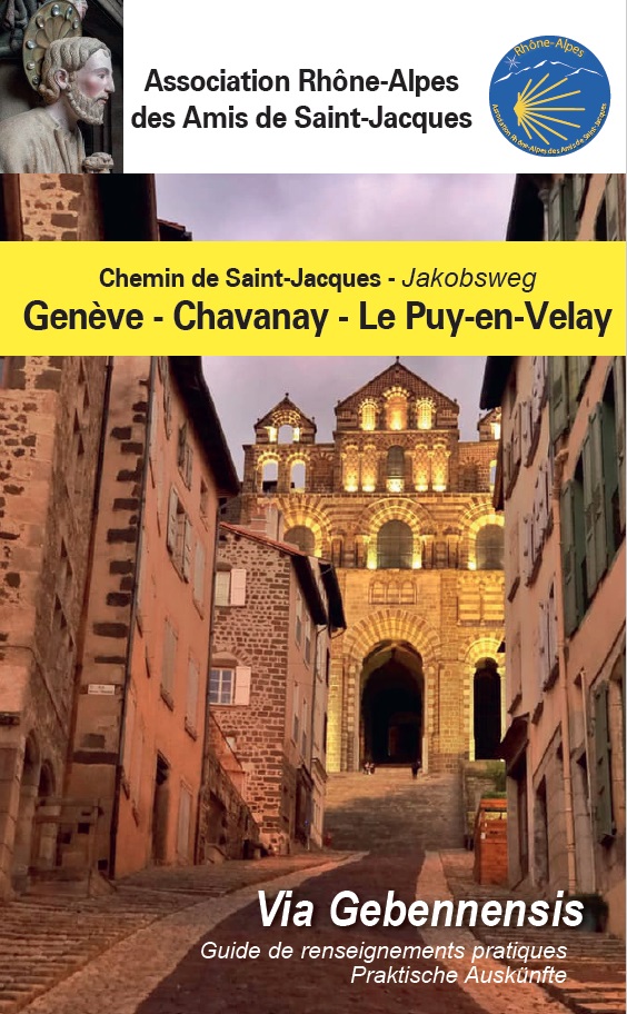
Chemin de St Jacques - voie de Genève
Guide de renseignements pratiques sur la voie de Genève entre Genève et le Puy-en-Velay via Chavanay avec cartes par l'association Rhône-Alpes des amis de st Jacques.
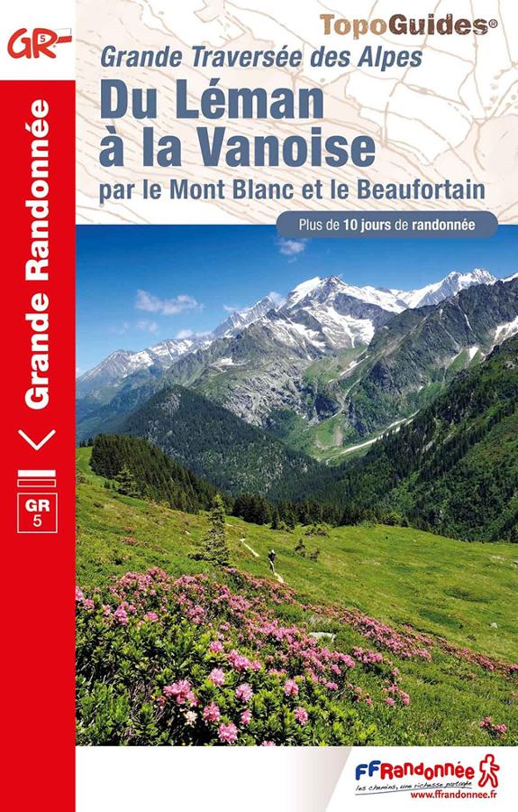
Grande traversée des Alpes du Léman à la Vanoise - GR5
Topoguide FFRP la Traversée des Alpes à pied du Léman à la Vanoise en passant par le Mont Blanc et le Beaufortain avec plus de 10 jours de randonnée.
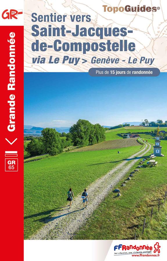
Sentier vers St Jacques-de-Compostelle via le Puy > Genève - Le Puy GR®65
Topoguide randonnée FFRP sur le chemin de st Jacques de Compostelle entre Genève et le Puy sur le GR65 avec plus de 15 jours de randonnée.