

Description
Gap and its surroundings on foot
In the heart of the Hautes-Alpes, there are mountains where the soul of Provence breathes. The Gapençais, the Colombis and the Dévoluy are lands of encounters, those of men, animals and plants too, like the lavender which rubs shoulders with the larch.
In Champsaur and Valgaudemar, a “wild opera of snow-capped peaks” is played out in the Mediterranean light; the authenticity of these alpine microcosms is protected in the Ecrins National Park.
The FFRP topoguide includes:
- Marked routes on the ground
- Walks classified by level of difficulty
- Essential practical information
- Texts to discover the region, accompanied by numerous photographs and illustrations
Features :
- Edition: 2022
- French language
- Dimensions: 21 x 13.6 cm
- Weight: 0.23 kg
- Publisher: FFRP
Features
Name
Gap and its surroundings on foot
Length
13.6 cm
Width
1 cm
Height
21 cm
Weight
0.255 kg
Language
French
Type
Topoguide
This might interest you
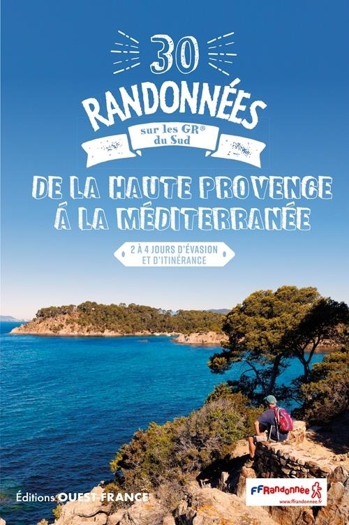
30 randonnées sur les GR® du sud, de la Haute Provence à la Méditerranée
Guide to the 30 most beautiful hikes on the FFRandonnée signposted GR trails from Haute Provence to the Mediterranean, from 2 to 4 days of escape and roaming.
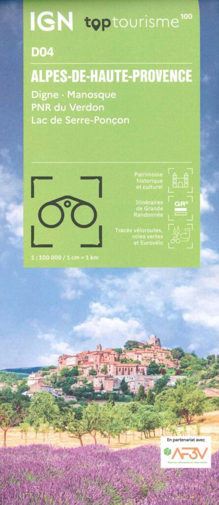
Carte Alpes de Haute Provence - Digne, Manosque, PNR du Verdon IGN TOP 100
Ideal for preparing your trip to the Alpes de Haute-Provence around Digne, Manosque and Lake Serre-Ponçon. Long-distance hiking routes, cycle routes, greenways and Eurovélos.