
Description
Discover Loire-Atlantique by Bike
This 1:120,000 IGN map invites you to explore the most beautiful cycling routes in Loire-Atlantique, Brittany, Vendée, and Pays-de-la-Loire.
It will be useful for planning your cycle touring itineraries along the Atlantic coast and around Nantes.
This IGN map includes:
Cycle touring routes
Mountain bike routes
Practical information
Features:
- Edition: 2022
- Languages: French, English
- Dimensions: 23.8 x 11.1 cm
- Weight: 0.11 kg
Features
Name
Loire-Atlantique by bike - IGN map
Length
11 cm
Width
1 cm
Height
24 cm
Weight
0.11 kg
Language
English, French
Type
Country bike, Map, Mountain Bike
This might interest you
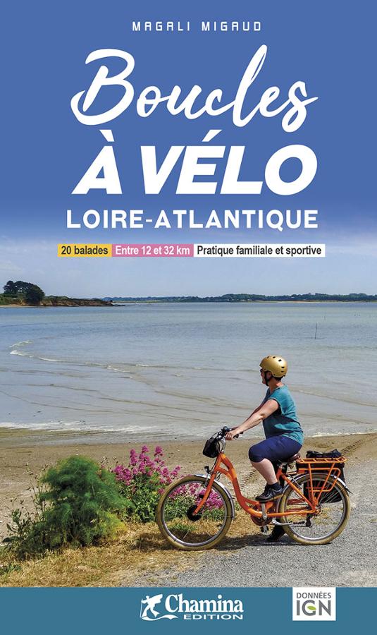
Boucles à vélo Loire-Atlantique
Topoguide to 20 cycling loops in Loire-Atlantique for families and sports enthusiasts around Nantes, Saint Nazaire and Ancenis.
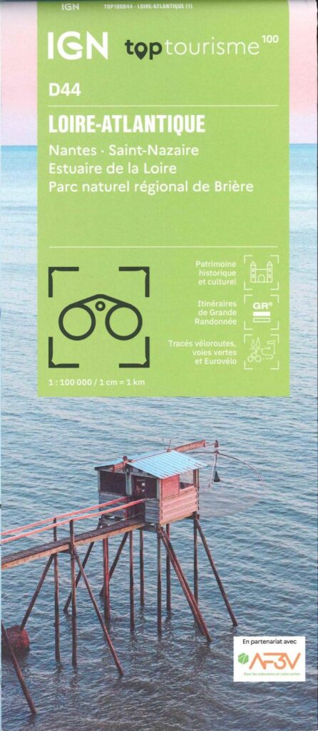
Carte Loire-Atlantique - Nantes, St Nazaire, Estuaire de la Loire IGN TOP 100
From the Atlantic coast to the Brière marshes. Stroll through Nantes, Saint-Nazaire, in the heart of the Brière PNR, admire the Loire Estuary. This new departmental division of IGN maps will allow you to plan your stay in advance and find your way on site with more tourist and practical information.
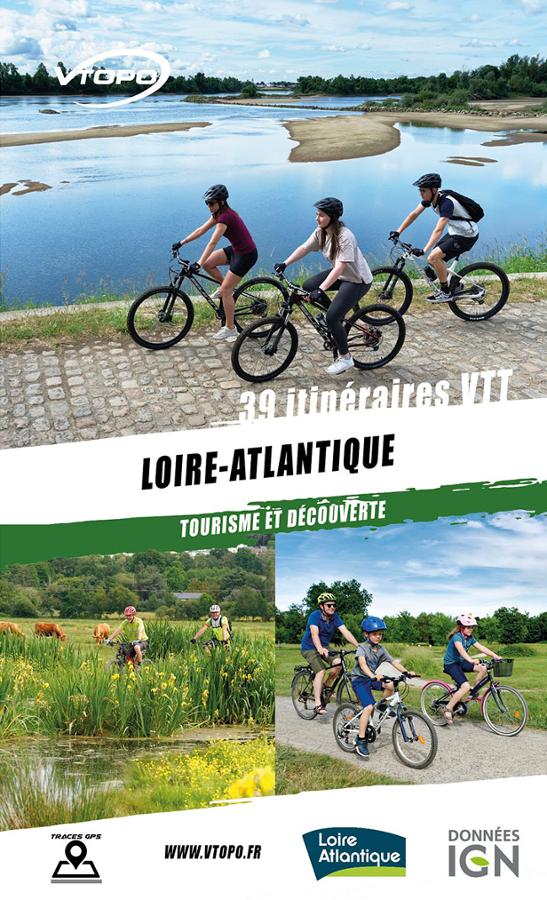
Loire-Atlantique, 39 itinéraires VTT
VTOPO guide that lists 39 mountain bike itineraries through the Loire-Atlantique region from Nantes to the Pays de Retz via Saint Nazaire with detailed maps and useful information.