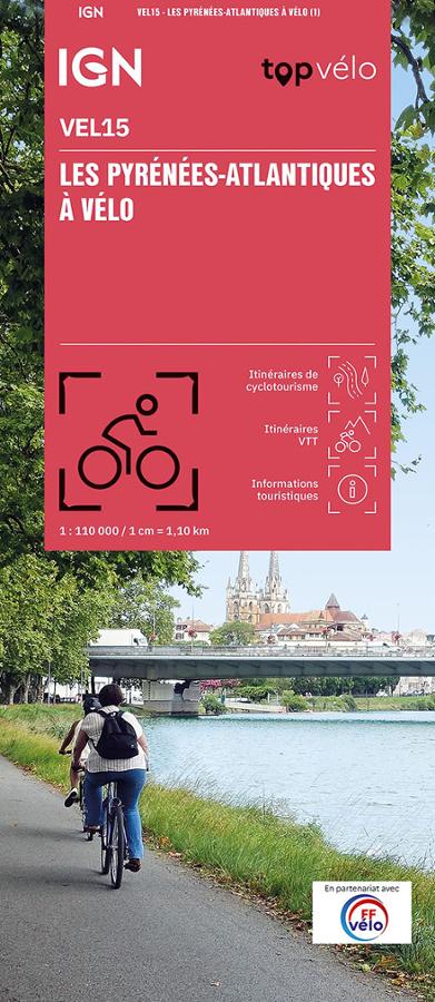
Description
An IGN map for discovering the Pyrénées-Atlantiques by bike
The IGN map of the Pyrénées-Atlantiques by bike is designed to make planning your cycling trips easier in one of the most beautiful departments of Southwest France. Between the Basque coast, the Pyrenean foothills, the Béarn valleys, and charming villages, the region offers a wide variety of landscapes.
Thanks to its 1:110,000 scale, this map provides a clear view of roads, cycling routes, terrain, and key points of interest. It makes it easy to identify routes, distances, and areas to explore.
It's a practical tool for cyclists who want to plan a day trip, a weekend getaway, or a longer cycling tour in the Pyrénées-Atlantiques.
From the ocean to the peaks
This map showcases the richness of the department. On the western side, it allows you to plan rides around the Basque coast, between the ocean, ports, beaches, and typical villages. Further inland, the routes wind through rolling landscapes, Béarn villages, quiet country roads, and more mountainous areas.
Cyclists can choose from easy routes, more challenging rides, or mountain biking circuits. The Pyrénées-Atlantiques region offers a diverse range of terrain, suitable for both recreational cyclists and those who love hilly terrain.
The map also helps visualize the connections between different areas: the Basque Country, Béarn, the Pyrenean foothills, valleys, and roads leading to mountain passes.
A practical tool for planning your cycling trips
The IGN TOP Vélo VEL15 map offers routes categorized according to several useful criteria, such as difficulty, distance, and duration. This allows you to quickly compare routes before setting off.
The routes are suitable for recreational cycling as well as mountain biking. This is a real advantage for varying your riding style and adapting your outings to your skill level. In addition, the IGN map information provides a better understanding of the terrain, access points, villages, secondary roads, and topography.
Finally, this paper map remains an excellent complement to an app or GPS. It offers an overview of the region and makes it easier to plan alternative routes, stages, and opportunities for exploration.
Key features:
- IGN TOP Cycling map dedicated to the Pyrénées-Atlantiques region by bike
- Reference VEL15
- Scale 1:110,000
- Produced in partnership with the French Cycling Federation (FFvélo)
- Cycling and mountain biking routes
- Routes classified by difficulty, distance, and duration
- Ideal for discovering the Basque Country and Béarn by bike
- Varied terrain: ocean, valleys, villages, foothills, and mountains
- Practical tool for planning a cycling trip or holiday
- Useful paper map to complement a GPS or GPX track
FAQ
What area does the Pyrénées-Atlantiques by Bike map cover? This map covers the Pyrénées-Atlantiques department, encompassing the Basque coast, Béarn, valleys, villages, and the Pyrenean foothills.
Is this map suitable for cycle touring?
Yes. It is designed for planning cycle touring trips, with routes categorized by difficulty, distance, and duration.
Can it be used for mountain biking?
Yes. The map also includes mountain bike trails. It is therefore suitable for cyclists who want to try different types of riding.
What is the scale of this IGN map?
The scale is 1:110,000. This means that 1 cm on the map corresponds to 1.1 km on the ground.
Is this map suitable for a cycling trip in the Basque Country?
Yes. It is very useful for planning a cycling trip in the Basque Country, as well as in Béarn and areas closer to the Pyrenees.
Features
Name
Map of the Pyrénées-Atlantiques by bike - IGN TOP Vélo
Width
11.10 cm
Height
25 cm
Weight
0.11 kg
Language
French
pubication
2025
Scale
1/110 000
This might interest you
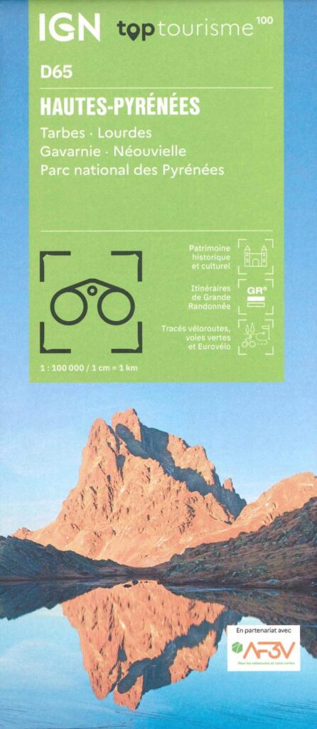
Carte Hautes Pyrénées - Tarbes, Lourdes, PNR des Pyrénées IGN TOP 100
This “TopTourisme” card is ideal for preparing your trip to Hautes-Pyrénées. With these points of interest, these cycle routes, greenways and these GR. Leave peacefully.
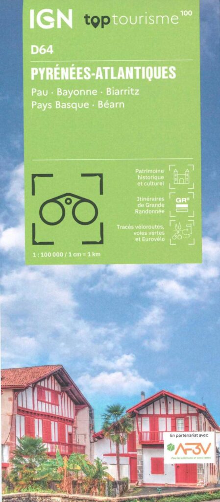
Carte Pyrénées Atlantiques - Pau, Bayonne, Biarritz, Pays Basque et le Béarn IGN TOP 100
New IGN 100 Map - On foot, by bike, by car. It includes the GR10, GR65, the greenways, the Vélodyssée and the Scandibérique southern part and the Eurovélos 1 and 3. Not forgetting the accommodation, the remarkable sites, and outdoor activities.