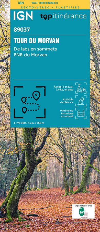
Description
An IGN map for exploring the Morvan
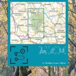
The IGN TOP Itinerancy Tour of the Morvan map is ideal for planning a hike or nature trip in the heart of the Morvan Regional Natural Park. This Burgundy massif offers a diverse landscape, encompassing lakes, forests, valleys, hedged farmland, villages, and long-distance hiking trails.
Thanks to its 1:75,000 scale, this map provides a comprehensive overview of the region. It allows you to identify major roads, terrain features, routes, accommodations, and key points of interest.
Therefore, it is suitable for hikers, cyclists, and travelers who wish to explore the Morvan on a multi-day tour.
The Tour of the Morvan: between lakes, forests, and villages
The Morvan is a perfect destination for hiking and nature enthusiasts. The landscapes alternate between vast wooded areas, quiet roads, rural paths, and viewpoints overlooking the Burgundy hills.
The map is particularly useful for planning a route around the Tour du Morvan, but also for imagining variations or shorter stages. It helps visualize distances, access points, accommodation areas, and opportunities for exploration.
Furthermore, the Morvan lends itself to a variety of activities. It can be explored on foot, by bike, on horseback, or in a more leisurely, multi-day discovery style, according to your pace and fitness level.
A practical tool for long-distance hiking
IGN's TOP Itinérance collection is designed to accompany long-distance, multi-stage hikes. This map of the Morvan is therefore a great resource for planning a multi-day trip, but also for organizing a shorter outing.
The laminated format is a real advantage in the field. It is more resistant to handling, humidity, and the variable conditions encountered while hiking.
Finally, this map perfectly complements a GPS track. It allows you to maintain an overview of the massif, anticipate the terrain, and better plan your stages.
Map Highlights:
- IGN TOP Itinerancy Map dedicated to the Tour du Morvan
- Scale 1:75,000
- Laminated map, practical for hiking
- Suitable for hiking, cycling, horseback riding, or driving
- Relief indicated by shading
- Route markings and useful landmarks
- Tourist information and accommodations
- Altitude profiles based on IGN data
- Useful for planning a stay in the Morvan Regional Natural Park
- A good complement to a GPS track
FAQ
What area does this IGN map cover?
This map covers the Tour du Morvan area, in the heart of Burgundy, within and around the Morvan Regional Natural Park.
Is this map suitable for hiking?
Yes. It is designed for hiking and allows you to plan walking routes, with a clear view of the terrain and main trails.
Can it be used for cycling?
Yes. The map is suitable for multimodal use, particularly for cyclists who want to explore the Morvan region by bike or plan stages on roads and trails.
What is the map scale?
The scale is 1:75,000. It offers a good overview of the massif, useful for planning a cycling trip.
Does this map replace a TOP25 map?
No. It provides a broader view of the area. For a very specific hike, it can be supplemented with a local IGN TOP25 map.
Features
Name
Morvan - carte IGN TOP 75
Weight
0.11 kg
Language
English, French, German
Publishers
IGN