
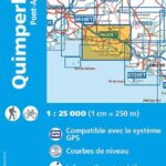
Description
IGN map of Quimperlé and Pont-Aven
IGN hiking and outdoor map in Brittany in Quimperlé and Pont-Aven at 1/25,000.
The card includes:
- Compatible with the GPS system
- Contour line
- Tourist information
- Long-distance hiking routes
Features :
- Edition: 2024
- French language
- Dimensions: 24 x 11 cm
- scale: 1/25,000
- Weight: 0.110 kg
- Publisher: IGN
Features
Name
Quimperlé - Pont-Aven TOP 25 - IGN
Length
11 cm
Width
1 cm
Height
24 cm
Weight
0.03 kg
Language
French
Type
Map
This might interest you
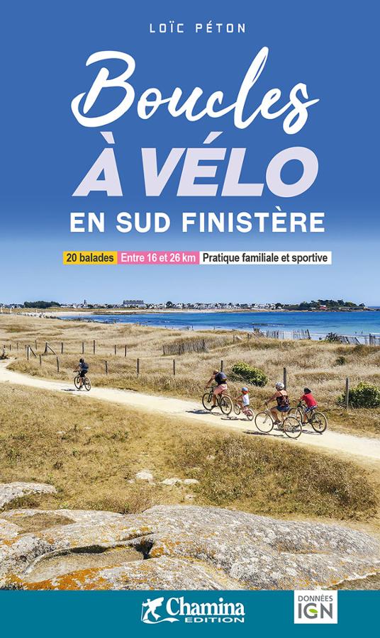
Boucles à vélo en sud Finistère
Discover South Finistère by bike with this Chamina guide dedicated to cycling routes accessible to all. It offers 20 bike rides on roads, paths, and greenways, between the Breton coastline, ports, rivers, countryside, and charming villages. Short, varied routes with minimal elevation gain, perfect for a family outing, a hybrid bike ride, or a gentle exploration of Brittany.
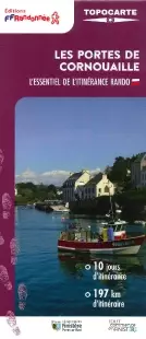
FFRP map - The gates of Cornouaille
From Concarneau to Quimperlé, a 197 km loop. Discover the gates of Cornouaille, southern Finistère. 10 days of hiking from Argoat (the land) to L'Armor (the sea). Access to GPX tracks.
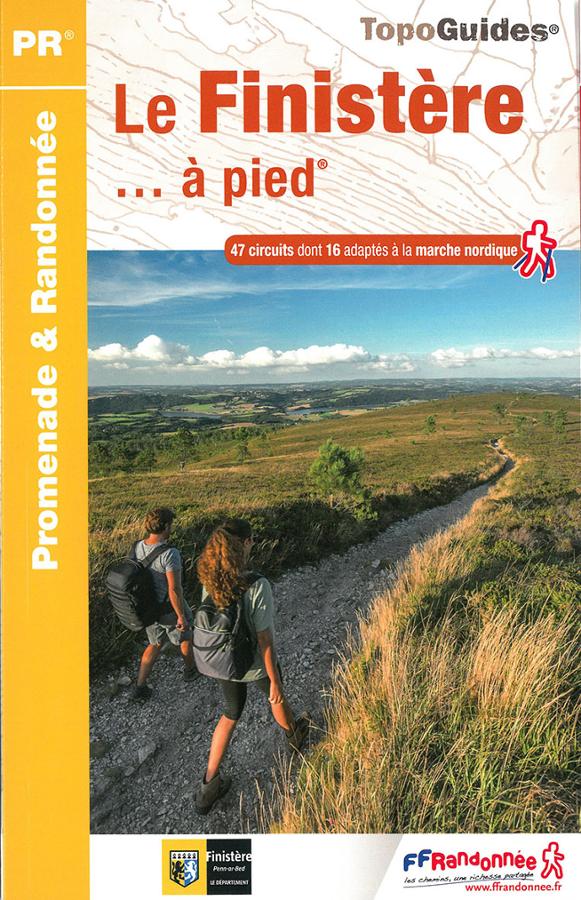
Le Finistère à pied
Topoguide FFRP promenade et randonnée en Finistère avec une sélection de 47 circuits dont 16 adaptés à la marche nordique.