
Description
Cycling between Innsbruck and Verona and on the Via Claudia Augusta
Indestructible and weatherproof, the official map of the ADFC Allgemeiner Deutscher Fahrrad-Club eV is the ideal tool for planning and undertaking exceptional bike tours. Covering a vast area of 130 x 160 kilometers, it offers everything cyclists need: routes, bed & bike establishments, sights, leisure information and much more.
The map ensures optimum orientation, with a clear design and ease of use.
It features all long-distance and regional cycle routes, as well as connecting maps for the whole of Germany and many neighboring countries.
Made from weather- and tear-resistant paper, this map guarantees exceptional durability. What's more, free online offers are available, including GPX track downloads of signposted cycle routes on our website or directly via our Map app.
Specifications:
- Edition: 2023
- Language: German
- Dimensions: 96 X 70 cm unfolded
- Scale : 1/150 000
- Weight : 0.110 kgs
- Publisher : ADFC
Features
Name
Südtirol Trentino Gardasee - cycle map
Length
96 cm
Height
70 cm
Weight
0.11 kg
Language
German
This might interest you
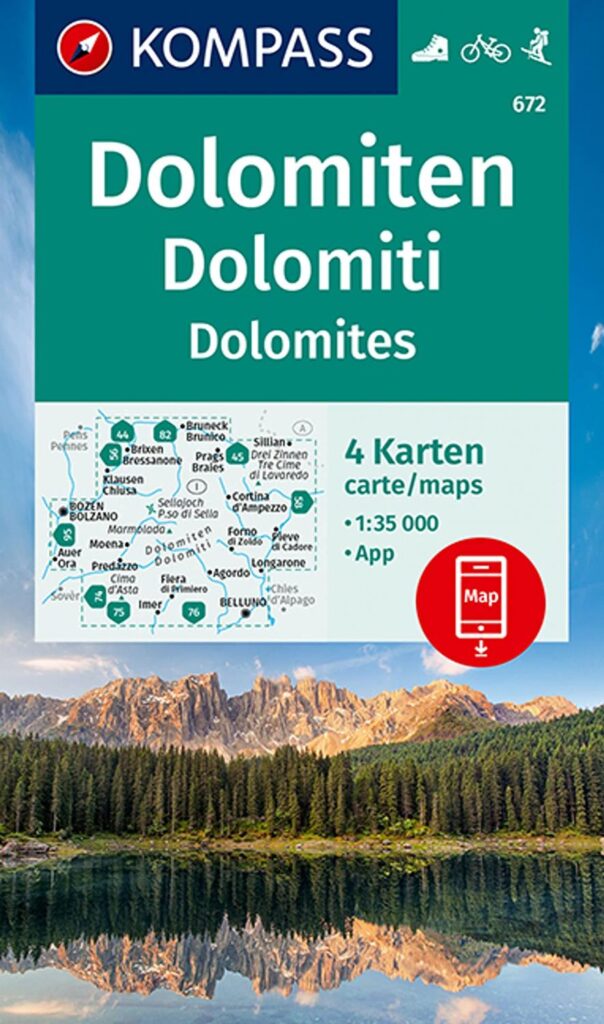
Dolomites - carte de randonnée Kompass 672
Hiking, cycling and skiing map of the Dolomites in Italy Kompass 672. Discover this mountainous region of the Southern Alps.
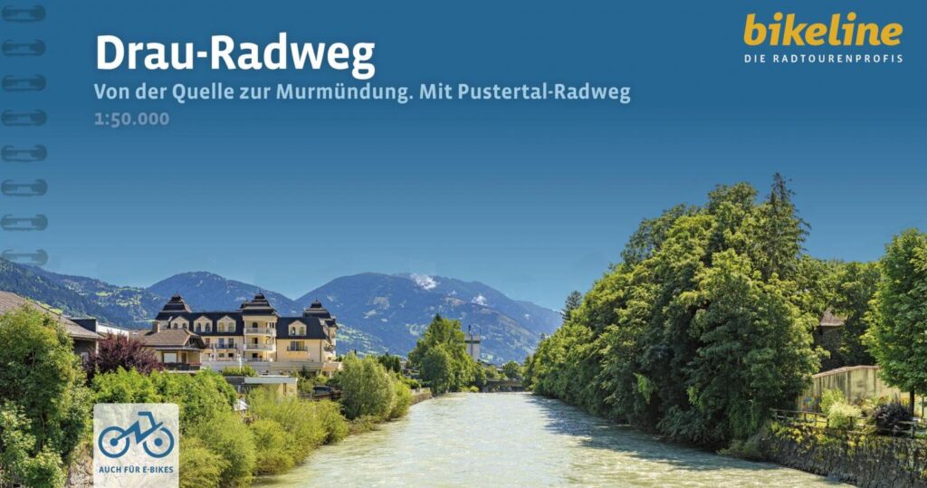
Drau-radweg
Bikeline cycling guide to the Drau cycle path in Austria, Croatia, Italy and Slovenia, with 508 km of itinerary and 58 maps at 1:50,0000 scale.
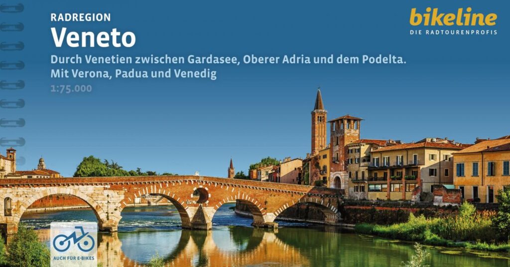
Radregion Veneto
Bikeline guide to cycling routes through Veneto, Lake Garda, the Adriatic Sea and the Po delta, as well as the cities of Verona, Padua and Venice.