

Description
The Massif des Bauges Regional Natural Park on foot
This FFRP topoguide invites you to discover the Mediterranean atmosphere of the dry hillsides which dominate Chambéry in the heart of Hautes-Bauges.
Explore more than 20 days of roaming in the Bauges, going from Lake Annecy to Chambéry or from Albertville to Aix-les-Bains. Take loops of 2 to 6 days to cross the Massif des Bauges regional natural park from one side to the other, taking the GR® 96 and the GR® de Pays Tour des Bauges.
This massif, rich in contrasts, has preserved a mountain authenticity while offering a unique experience to hikers.
The guide includes:
- 450 km of tailor-made itineraries
- description of marked and secure trails on the GR® 96 and the GR® de Pays Tour des Bauges.
- suitable for multi-day hiking
- essential practical tool for preparing the route on foot with accommodation, stages and means of access
- FFRP expertise associated with IGN maps
Features :
- Edition: 2024
- French language
- Dimensions: 21 x 13.4 cm
- Number of pages: 112
- Weight: 0.180 kg
- Publisher: FFRP
Features
Name
Tours and crossings of the Massif des Bauges - GR96
Length
13.5 cm
Width
0.5 cm
Height
21 cm
Weight
0.180 kg
Language
French
Type
Topoguide
This might interest you
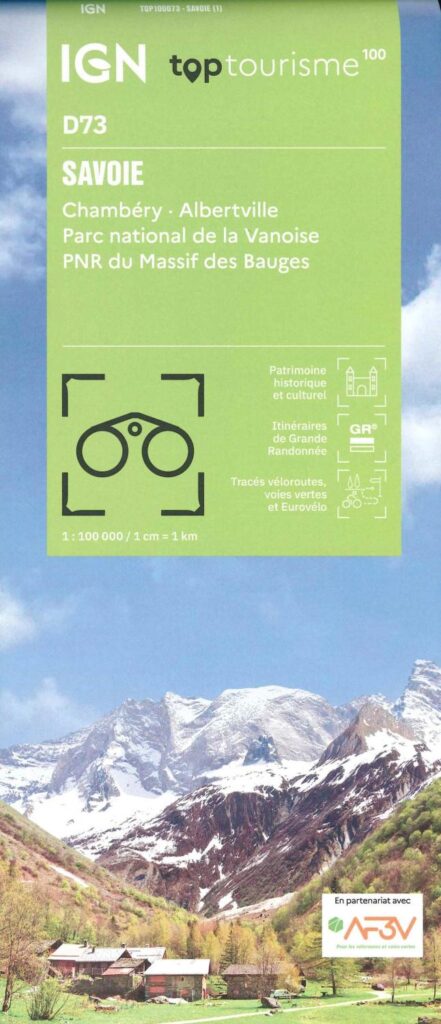
Carte Savoie - Chambéry, Albertville, parc national de la Vanoise IGN TOP 100
Savoie offers incomparable hiking and cycling experiences, with its majestic alpine trails and picturesque roads. This new departmental division of IGN maps will allow you to plan your stay in advance and find your way on site with more tourist and practical information.
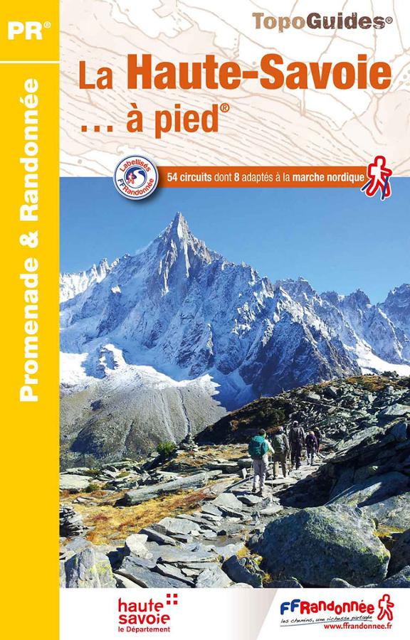
La Haute-Savoie à pied
FFRP hiking topoguide on Haute-Savoie with a selection of 54 circuits including 8 suitable for Nordic walking.
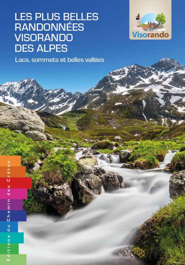
Les plus belles randonnées visorando des Alpes
The 62 most beautiful Visorando hikes through the Alps from Chartreuse to Mercantour, with a qr code for each hike.