
Description
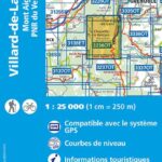
Map IGN TOP 25 Villard-de-Lans
Prepare your bike or foot tour in the Vercors and the discovery of the Mont Aiguille with this 1:25,000 scale map.
This high precision map includes all the practical and touristic details such as the communication routes to the smallest path, river or buildings.
The IGN TOP 25 map includes :
- 1:25,000 scale map
- compatible with GPS system
- contour lines
- tourist information
- long-distance hiking itineraries
Characteristics :
- Edition : 2022
- Language : French, English
- Dimensions : 25 X 11.10 cm
- Scale : 1/25 000
- Weight : 0.1 kgs
- Publisher : IGN
Features
Name
Villard-de-Lans - Mont Aiguille - PNR Vercors - TOP 25
Length
11.10 cm
Height
25 cm
Weight
0.11 kg
Language
English, French
This might interest you
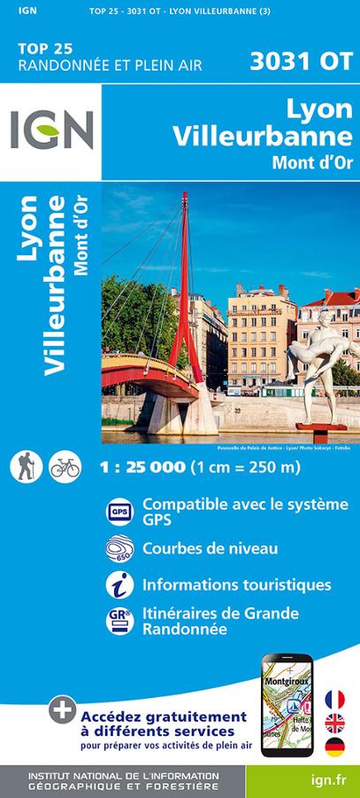
Carte IGN - Lyon, Villeurbanne
Carte IGN 3031 OT randonnée et plein air au 1:25 000 autour de Lyon, Villeurbanne et le Mont d'Or avec itinéraires de Grande randonnée.
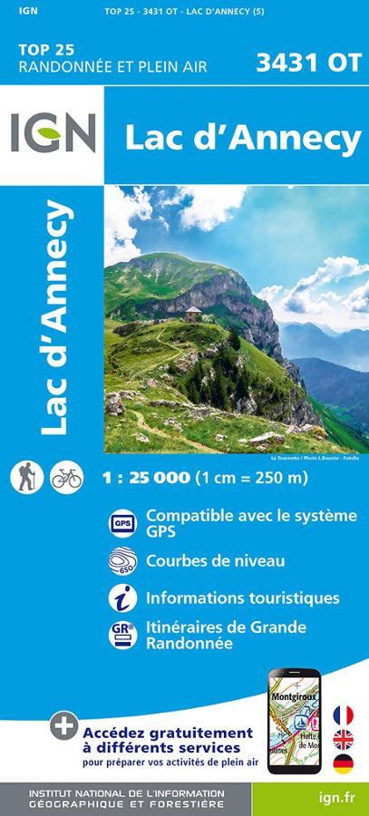
Lac d'Annecy - IGN TOP 25
Carte IGN TOP 25 Randonnée et plein air sur le Lac d'Annecy avec informations touristiques et itinéraires de Grande Randonnée.
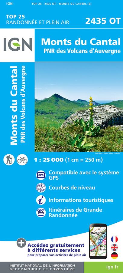
Monts du Cantal et PNR des Volcans d'Auvergne - IGN TOP 25
Carte IGN TOP 25 Randonnée et plein air 2435 OT sur les Monts du Cantal et PNR des Volcans d'Auvergne avec itinéraires de grande randonnée et informations touristiques.