
Description
Hiking the most beautiful trails in the Cantalien Volcanoes
Prepare your itineraries in the Cantal and the Parc Naturel régional des Volcans d'Auvergne between Aurillac and St Flour with this comprehensive guide.
Discover the remains of Europe's largest stratovolcano: the 1855 m-high Cantalien volcano.
The Rando à pied guide includes :
- 49 circuits of varying length and difficulty
- 1:25,000 and 1:50,000 IGN maps
- Cultural presentation of the Cantalien Volcano
- Points of interest on the routes
- Useful addresses and information
Features :
- Edition: 2022
- Language : French
- Dimensions : 21 X 14 cm
- Number of pages : 136
- Weight : 0.33 kgs
- Publisher : Chamina
Features
Name
Volcan Cantalien - Rando à pied
Length
14 cm
Height
21 cm
Weight
0.33 kg
Language
French
Type
Guide
This might interest you
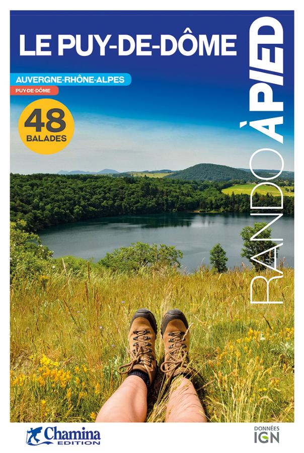
Le Puy-de-Dôme - rando à pied
Topoguide complet et pratique de 48 randonnées dans le Puy-de-Dôme avec cartes IGN, centres d'intérêts et adresses pratiques.
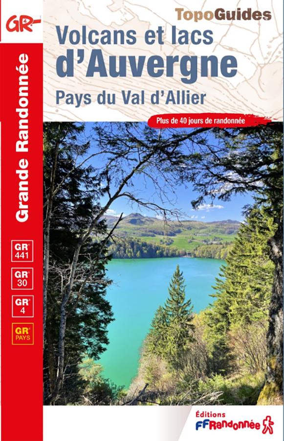
Volcanoes and lakes of Auvergne - Pays du Val d'Allier
Explore the volcanoes and lakes of Auvergne with this FFRandonnée guidebook. It covers more than 40 days of hiking on the GR®4, GR®30, GR®441, and several GR® de Pays trails. From the Chaîne des Puys and the Auvergne lakes circuit to the Allier Valley and the Livradois-Forez region, this guide allows you to discover the magnificent volcanic landscapes of the Massif Central on foot.