
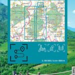
Description
Crossing the Volcanoes of Auvergne - IGN Hiking Map
Explore a land of giants, between dormant volcanoes and endless panoramas.
Designed in close partnership with the Auvergne Volcanoes Regional Natural Park, this map is the essential tool for discovering a UNESCO World Heritage Site. Whether you're looking for a family stroll or a sporting adventure, it guides you with pinpoint accuracy through landscapes sculpted by time.
Why choose the Top Itinerancy map?
- Certified expertise: Developed with the Park's experts, it guarantees official and environmentally friendly routes.
- Accessibility & Diversity: From eroded craters to ancient beech forests, access trails suitable for all levels.
- Multimodal Experience: Whether you're on foot, by bike, on horseback, or even by car, the map adapts to your preferred mode of travel.
- Topographical Precision: Anticipate your effort with detailed elevation profiles, perfect for managing your energy in the mountains.
Key Features:
- Mountain Biking Trails: Precise location of starting points for thrill-seekers.
- Sustainable Mobility: Identification of train stations and tourist train routes for a car-free adventure.
- UNESCO World Heritage Sites: Highlighting exceptional natural sites and breathtaking panoramas.
- Off-Road Use: Ideal for summer pastures and ridge areas.
Expert Opinion: "The perfect companion to ensure you don't miss anything in the Chaîne des Puys. We particularly appreciate the clarity of the elevation profiles, which prevent any unpleasant surprises before tackling a volcano!"
Ready for the climb? Add IGN precision to your backpack.
Features
Name
Map Traversée des Volcans d'Auvergne IGN
Weight
0.1 kg
pubication
2026
Scale 1/80 000
weight
100 g
This might interest you
Similar Products
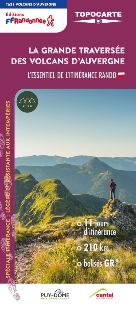
FFRP map- The great crossing of the Auvergne volcanoes
Explore the Sancy massif, the Artense plateau, the Cézallier massif and the Puy Mary. 210km in the heart of the Auvergne Volcanoes, 11 days of roaming, breathtaking landscapes, an unforgettable journey.
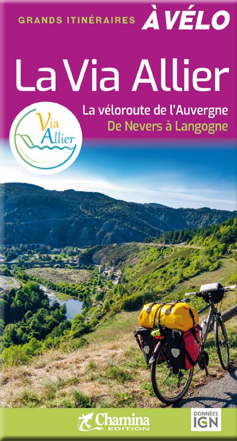
La Via Allier - la véloroute de l'Auvergne
Great cycling itineraries on the Via Allier, the Auvergne cycle route from Nevers to Langogne, with 455 km of routes through the Haut Allier gorges.