

Description
Hikes in the Heart of the Auvergne Volcanoes
Cross the Auvergne volcanoes in 11 days, including the Sancy, Cézallier, and Puy Mary massifs.
From the panoramic alignment of the Chaîne des Puys volcanoes - Limagne Fault, passing through numerous volcanic lakes, the rugged terrain of the Sancy massif (1,886 m), the grasslands and peat bogs of the Artense granite plateau, the Cézallier massif and its immense green summer pastures, the Puy Mary (1,783 m), the remnant of the largest stratovolcano in Europe (70 km in diameter), to finish with the Plomb du Cantal (1,855 m), come and explore this majestic itinerary.
A train ride is available from Clermont-Ferrand.
On this map you will find:
- 11 days of hiking
- 210 km of route on an IGN background
- Accommodation, restaurants, and supplies
- Access to the GPX track
- Predefined and pre-cut stages
- Points of interest along the route
- Various existing train connections
- A breakdown of the stages by day
Features :
- Edition: 2025
- Language: French
- Flat dimensions: 136.8 x 100 cm
- Folded dimensions: 25.20 x 10.80 cm
- Printing: Double-sided, rain-resistant, snag-proof, strong, and flexible
- Scale: 1:60,000
- Weight: 0.050 kg
- Publisher: FFRP
Made in France
Features
Name
FFRP map- The great crossing of the Auvergne volcanoes
Length
25.20 cm
Width
18.00 cm
Height
0.50 cm
Weight
0.50 kg
Language
French
Publishers
FFRP
Type
Map
This might interest you
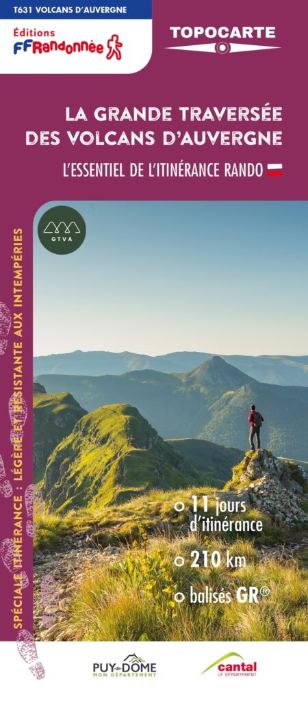
FFRP map- The great crossing of the Auvergne volcanoes
Explore the Sancy massif, the Artense plateau, the Cézallier massif and the Puy Mary. 210km in the heart of the Auvergne Volcanoes, 11 days of roaming, breathtaking landscapes, an unforgettable journey.
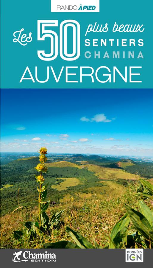
Les 50 plus beaux sentiers en Auvergne
Guide de randonnée à pied avec les 50 plus beaux sentiers en Auvergne aux éditions Chamina pour une pratique familiale et sportive avec cartes IGN.
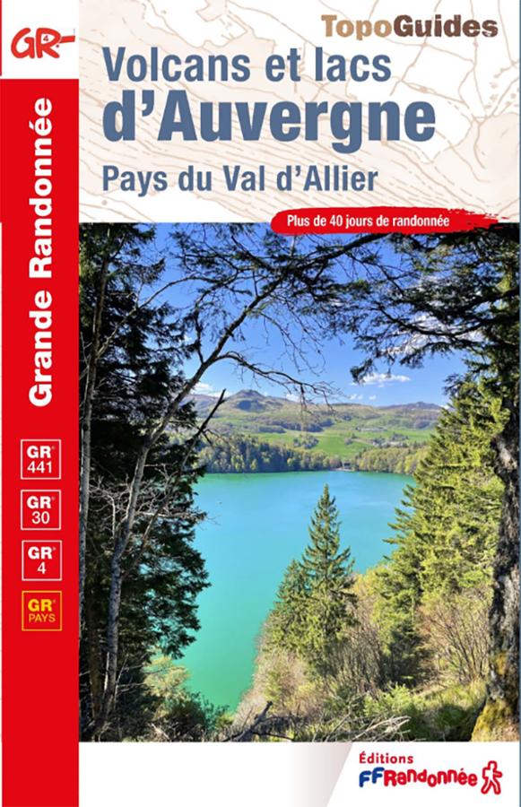
Volcanoes and lakes of Auvergne - Pays du Val d'Allier
Explore the volcanoes and lakes of Auvergne with this FFRandonnée guidebook. It covers more than 40 days of hiking on the GR®4, GR®30, GR®441, and several GR® de Pays trails. From the Chaîne des Puys and the Auvergne lakes circuit to the Allier Valley and the Livradois-Forez region, this guide allows you to discover the magnificent volcanic landscapes of the Massif Central on foot.