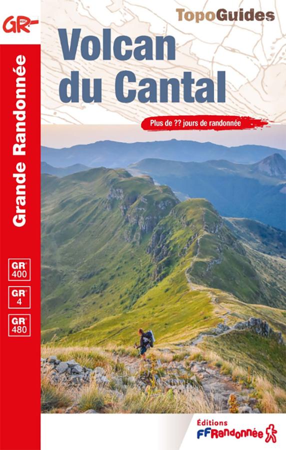
Description
A guidebook for hiking in the heart of the Cantal volcano
The Cantal Volcano – GR®400 guidebook is essential for discovering the Cantal Mountains on foot. It helps you plan a multi-day hike through one of the most spectacular landscapes in the Massif Central.
The main route, the GR®400, forms a large loop around the Cantal massif. It winds its way between glacial valleys, ridges, high plateaus, traditional mountain huts (burons), summer pastures, and panoramic views of the Auvergne volcanoes.
This guidebook is therefore aimed at hikers who want to undertake a long-distance hike. However, it is also very suitable for those who prefer to plan several loops of 2 to 3 days.
GR®400, GR®4 and hikes in the Cantal Mountains
This guidebook is not limited to the GR®400. It also features the GR®4 long-distance hiking trail between Saint-Flour and Égliseneuve-d’Entraigues, as well as a section of the GR®480 connecting Aurillac to Puy Mary.
The route allows you to discover major sites in the Cantal region: Puy Mary, Plomb du Cantal, Murat, Saint-Flour, Aurillac, the Jordanne valleys, and the landscapes of the Limon plateau.
Furthermore, the routes offer a wonderful diversity of scenery. You'll pass from charming villages to towering volcanic ridges, from forests to high-altitude pastures, often with superb views of the Massif Central.
A practical guide for planning your hike
Like other FFRandonnée guidebooks, this book provides useful information for planning your stages. The descriptions, maps, distances, and practical information help you create an itinerary suited to your fitness level.
It is therefore ideal for a multi-day hike in the Cantal. It can also be used to plan a long weekend around Puy Mary, Le Lioran, or Murat.
Finally, its compact size makes it easy to carry in your bag. It's a reliable tool for hiking in mountainous terrain, where reading the terrain remains essential.
Guidebook Highlights :
- FFRandonnée guidebook dedicated to the Cantal Volcano
- Main route: GR®400
- Approximately 140 km around the Cantal massif
- Possibility of hiking the GR®400 in 2- to 3-day loops
- Also includes the GR®4 and a section of the GR®480
- More than 20 days of hiking
- Discover Puy Mary, Plomb du Cantal, Murat, and Aurillac
- Volcanic landscapes, ridges, summer pastures, valleys, and traditional mountain huts (burons)
- Ideal for a multi-day hike in Auvergne
- 2026 Edition
FAQ
What route does this guidebook cover?
This guidebook primarily covers the GR®400, around the Cantal volcano. It also includes the GR®4, GRP® routes, and a section of the GR®480.
How many days of hiking does this guidebook offer?
The guide presents approximately 25 days of hiking, with several possible itineraries depending on the time available.
Can I hike only part of the GR®400?
Yes. The GR®400 can be hiked in its entirety or as shorter loops, often suitable for 2- to 3-day trips.
Is this guide suitable for a multi-day hike?
Yes. It is designed to help you plan a multi-day hike in the Cantal Mountains, with useful information for organizing your stages.
What are the major sites along the route?
The guide allows you to discover, among other things, the Puy Mary, the Plomb du Cantal, Murat, Aurillac, Saint-Flour, and the valleys of the Cantal massif.
Features
Name
Cantal Volcano guidebook – GR®400, GR®4 and GRP®
Width
13.50 cm
Height
21.10 cm
Weight
180 kg
Language
French
Type
Topoguide
This might interest you
Similar Products
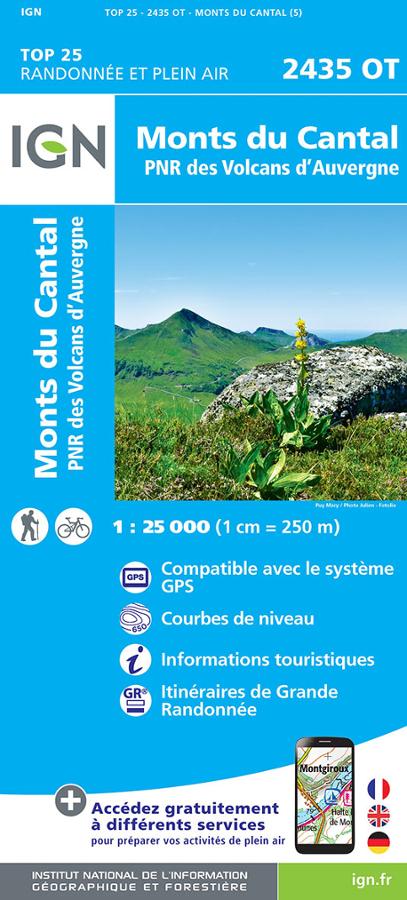
Monts du Cantal et PNR des Volcans d'Auvergne - IGN TOP 25
Carte IGN TOP 25 Randonnée et plein air 2435 OT sur les Monts du Cantal et PNR des Volcans d'Auvergne avec itinéraires de grande randonnée et informations touristiques.
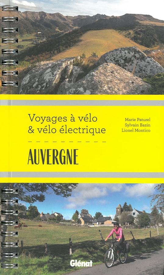
Voyages à vélo & vélo électrique en Auvergne
Guide de randonnée à vélo et vélo électrique en Auvergne dans l'Allier, sur la Véloroute V70 jusqu'aux volcans du Cantal en passant par le Puy-de-Dôme et la Haute-Loire.