


Description
The practical guide to cycling the Canal des 2 Mers
The Routard Guide to the Canal des 2 Mers by bike is an essential companion for planning a cycling trip between the Atlantic and the Mediterranean. This iconic route connects the Gironde estuary to the Mediterranean Sea, crossing southwestern France through vineyards, charming villages, canals, historic towns, and river landscapes.
From Royan to Sète, cycling the Canal des 2 Mers offers the chance to discover a wide variety of landscapes: the Gironde estuary, Bordeaux, the Garonne Canal, Toulouse, the Canal du Midi, Carcassonne, the Minervois region, the Thau Lagoon, and the gateway to the Mediterranean. This guide is ideal for planning a multi-day trip, choosing your stages, or organizing a few days of cycling on a section of the route.
A comprehensive cycling guide to plan your stages
Designed for cycle tourists, this Routard guide gathers all the information you need for a worry-free ride. You'll find detailed 1:100,000 scale maps, city plans, tips for joining or leaving the route, and practical information to help you plan your trip.
The guide also offers a selection of addresses for accommodation, restaurants, and bike rentals, true to the spirit of the Routard guide.
Each stage highlights points of interest, tourist sites, charming villages, and must-see stops.
Who is this guide for?
This guide is for anyone who wants to cycle the Canal des Deux Mers, either in its entirety or in sections. It's suitable for touring cyclists as well as families, couples, or travelers looking to plan an accessible cycling holiday along the waterway.
Thanks to its practical format and extensive on-the-ground information, it allows you to create your own itinerary, plan your stages, and fully enjoy one of the most beautiful cycling routes in France.
Highlights of the guide
- Guide dedicated to cycling the Canal des 2 Mers
- Itinerary from the Atlantic to the Mediterranean
- Royan to Sète route
- Detailed 1:100,000 scale maps
- Maps of the main towns along the route
- Practical tips for planning your trip
- Addresses for accommodation, food, and bike rentals
- Sightseeing ideas and points of interest
- Convenient format for carrying in a pannier
FAQ
What route does the Canal des 2 Mers Cycling Guide cover?
This guide covers the Canal des 2 Mers cycling route, from the Atlantic to the Mediterranean, between Royan and Sète. It allows you to plan the entire route or just certain stages.
Is this guide suitable for a family cycling trip?
Yes, the Canal des 2 Mers cycling route has many accessible and well-maintained sections. The guide allows you to choose your stages according to your pace, fitness level, and available time.
Does the guide include maps? Yes, the guide offers detailed 1:100,000 scale maps, useful for visualizing the route, planning your stages, and identifying key points of interest.
Can this guide be used for only part of the Canal des 2 Mers?
Yes, this guide is suitable for cycling the entire route as well as for planning a weekend or a few days of cycling on a section of the route: Bordeaux, Toulouse, the Garonne Canal, the Canal du Midi, or the Mediterranean.
How does this differ from a standard cycling map? While a map primarily allows you to visualize the route, this Routard guide adds practical advice, addresses, sightseeing ideas, city maps, and useful information for planning your trip.
2022 Edition
Features
Name
The Canal des 2 mers by bike - Le Routard
Length
11.50 cm
Width
1 cm
Height
19.20 cm
Weight
0.29 kg
Language
French
Type
Guide
This might interest you
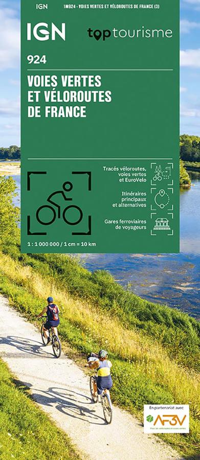
IGN Map - Greenways and Cycle Routes of France
Plan your cycling trips in France with the IGN 924 Greenways and Cycle Routes of France map. At a scale of 1:1,000,000, it offers an overview of major cycle routes, greenways, national and regional cycle routes, and EuroVelo routes. It's the ideal map for choosing a destination, comparing routes, and organizing a cycling holiday.
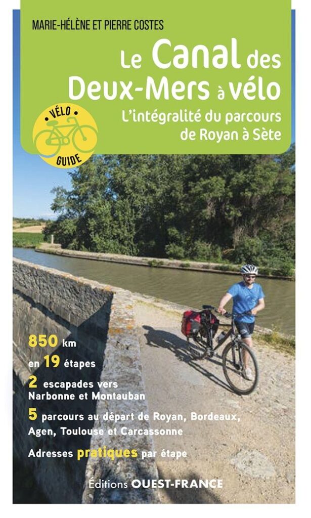
Le Canal des Deux-Mers by bike - From Royan to Sète
This bike guide covers the entire route from the Atlantic to the Mediterranean, between Royan and Sète on the Canal des Deux-Mers by bike.
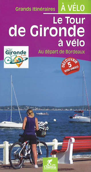
Le tour de Gironde à vélo
Le tour de Gironde à vélo aux éditions Chamina, présente 21 étapes et 5 escapades entièrement repérées à vélo entre Bordeaux, le Bassin d'Arcachon, Les Landes ou encore l'Atlantique...