Description
A hiking guidebook for the Emerald Coast
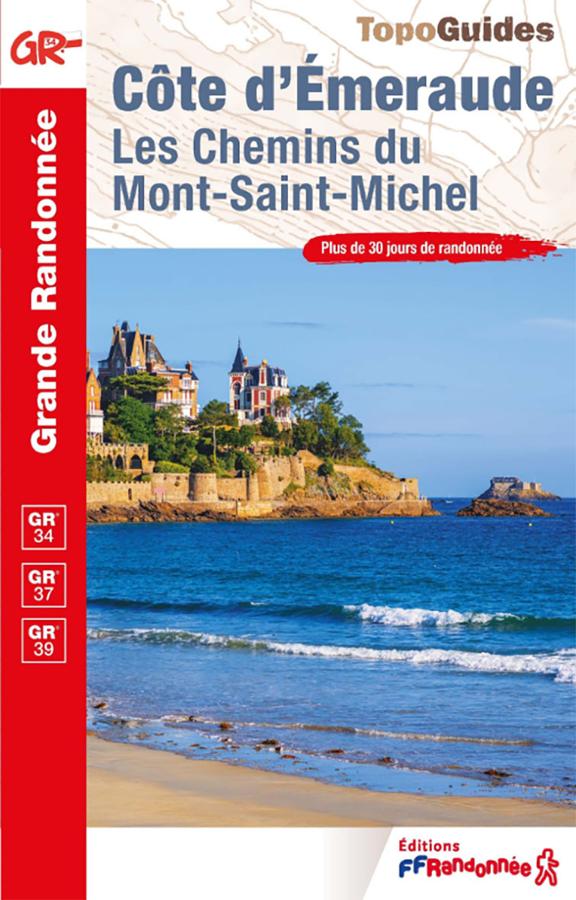
The FFRandonnée Emerald Coast guidebook is the perfect tool for exploring this iconic area of northern Brittany on foot. It helps you plan hikes that take in the sea, cliffs, estuaries, beaches, seaside resorts, and charming villages.
The Emerald Coast captivates visitors with its contrasts. On one hand, there are the ramparts of Saint-Malo, the villas of Dinard, the harbors, and the vast beaches. On the other, walkers can enjoy wilder landscapes featuring rocky headlands, coves, coastal heathlands, and stunning views of the English Channel.
This guide is a practical companion for planning your outings. It allows you to choose a route based on your fitness level, available time, and preferences—whether it’s a family stroll, a coastal hike, a loop around a village, or a more strenuous trek.
Between Saint-Malo, Dinard, Cancale, and Cap Fréhel
This guidebook highlights a region that is highly popular with hikers. Around Saint-Malo, the trails offer a mix of maritime heritage, beaches, and scenic viewpoints. Towards Cancale, the atmosphere opens up, featuring the bay, oyster beds, and panoramas stretching toward Mont-Saint-Michel.
Near Dinard, Saint-Lunaire, and Saint-Briac-sur-Mer, hikes alternate between coastal paths, Belle Époque villas, beaches, and small rocky headlands. Further west, the Cap Fréhel area offers a spectacular setting with cliffs, heathlands, and sweeping sea views.
In short, this guide allows you to create a rich and varied itinerary. You can go for a walk of just a few hours, plan a weekend getaway, or string together several outings to gradually explore the Emerald Coast. A practical guide for planning walks in Brittany
Like the FFRandonnée guidebooks, this guide is designed to help walkers plan their routes. It helps identify starting points, distances, walking times, points of interest, and useful on-the-ground information.
It caters to both regular hikers and casual walkers. The Emerald Coast offers a wide range of options, including accessible routes, more strenuous coastal paths, and stages that are perfect for discovering the Breton coastline at your own pace.
Finally, this guidebook complements a local IGN map perfectly. It provides the practical details needed to choose a hike, while a map offers a broader view of the area.
Guide highlights:
- FFRandonnée guidebook dedicated to the Emerald Coast
- Ideal for planning hikes in northern Brittany
- Covers the Saint-Malo, Dinard, Cancale, Rance, and Cap Fréhel areasRoutes featuring coastal paths, beaches, cliffs, harbors, and villages
- Practical resource for a hiking weekend or holiday
- Suitable for both regular walkers and casual hikers
- Allows you to discover maritime heritage and coastal landscapes
- Complements an IGN map well for trip planning
- Useful guide for organizing day walks
- Format suited for both planning and travel
FAQ
What area does the Emerald Coast guidebook cover?
It covers the Emerald Coast region, including Saint-Malo, Dinard, Cancale, the Rance estuary, and Cap Fréhel.
Is this guide suitable for a hiking weekend?
Yes. It allows you to select several walks or hikes to combine over two or three days, depending on your fitness level and where you are staying.
Can it be used for family hikes?
Yes. The Emerald Coast offers many accessible walks. However, you should choose your routes based on distance, elevation gain, and coastal conditions.
Do you also need an IGN map?
A local IGN map is useful for maintaining an overview, planning alternative routes, or checking access points. The guidebook, meanwhile, provides practical information about the routes themselves.
Why go hiking on the Emerald Coast?
Because this coastline combines beaches, cliffs, harbors, heritage sites, coastal paths, and sea views. It is an ideal destination for discovering Brittany on foot.
Features
Name
FFRandonnée Guidebook: Emerald Coast – Hikes between Saint-Malo, Dinard, and Cap Fréhel
Width
13.5 cm
Height
21 cm
Weight
0.23 kg
GR
GR34, GR37, GR39
Language
French
pubication
2026
Type
Topoguide
This might interest you
30 randonnées sur les GR de Bretagne
Guide Ouest-France sur les 30 randonnées à faire pour découvrir la Bretagne sur les GR® en 2 à 4 jours d'évasion en itinérance.
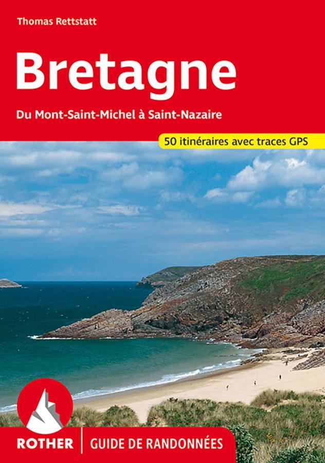
Brittany, from Mont-Saint-Michel to Saint-Nazaire
Hiking guide of 50 selected hikes on the coast and inland Brittany, from Mont Saint-Michel to Saint-Nazaire.