Description
A guidebook for hiking the GR®34
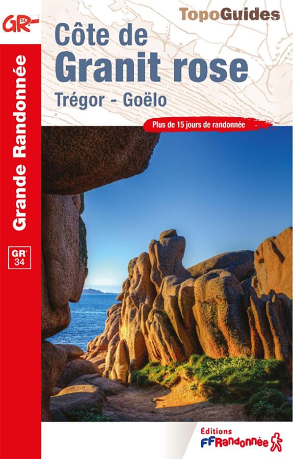
The FFRandonnée "Côte de Granit Rose" (Pink Granite Coast) guidebook is ideal for planning a hike along the GR®34, also known as the *Sentier des Douaniers* (Customs Officers' Path). This legendary route runs along the Brittany coastline and offers some of the most spectacular scenery found on the Pink Granite Coast.
Here, the GR34 winds its way through pink granite boulder formations, coves, beaches, rocky headlands, and harbors, all while offering open views of the English Channel. Each stage reveals a luminous, photogenic, and distinctly maritime side of Brittany.
This guide is designed for hikers who want to walk the GR34 with confidence. It helps you plan your outings, choose your route, and make the most of this iconic Breton trail.
The Pink Granite Coast: a must-visit section of the Customs Officers' Path
The Pink Granite Coast is one of the most sought-after sections of the GR®34 in Brittany. Around Perros-Guirec and Ploumanac’h, the trails offer unique panoramas featuring sea-sculpted rocks, islets, lighthouses, and beaches.
Towards Trégastel and Trébeurden, the route alternates between coastal paths, heathlands, rocky headlands, and small seaside resorts. Hikers thus enjoy a highly varied itinerary that blends nature, maritime heritage, and spectacular views.
This guidebook is therefore an excellent choice for planning a hiking weekend, a specific stage of the GR34, or a multi-day trek along the Pink Granite Coast.
>> Visit our page dedicated to the GR®34
A practical guide for planning your GR34 itinerary
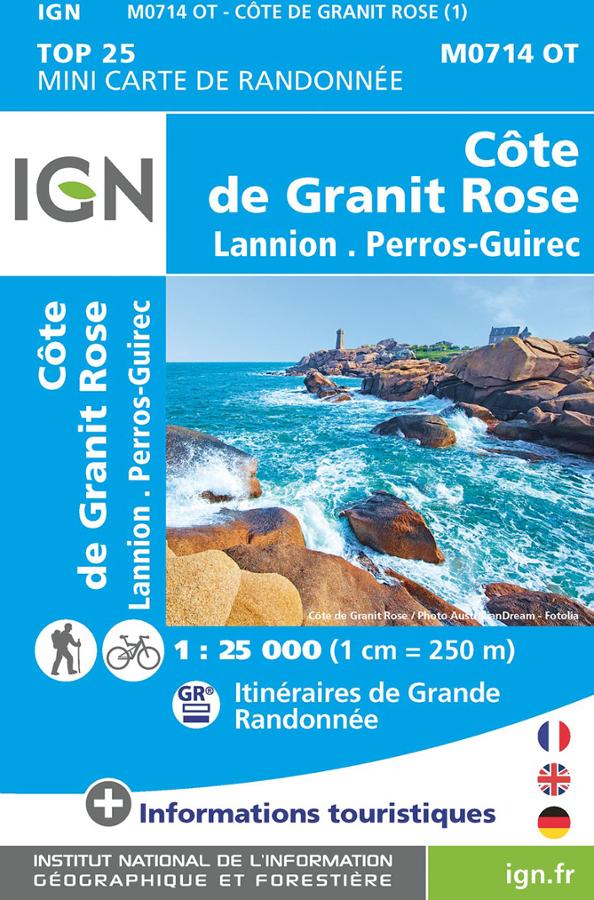
Like all FFRandonnée guidebooks, this guide is designed to accompany walkers out on the trail. It helps you identify routes, access points, and places of interest, while providing useful information for organizing your hikes. It is suitable for everyone from holidaymakers wanting a lovely stroll along the "Customs Officers' Path" to hikers wishing to cover several sections of the GR34. It also complements a local IGN map perfectly, helping you maintain an overview of the coastline.
Finally, this guide really inspires you to get out and walk. The Pink Granite Coast (Côte de Granit Rose) brings together all the ingredients for a successful hike in Brittany: the sea, pink rock formations, harbors, beaches, shifting light, and the unique atmosphere of the GR34.
Guide highlights:
- FFRandonnée guidebook dedicated to the Pink Granite Coast
- Ideal for planning a hike on the GR®34
- Explore the famous "Customs Officers' Path" (Sentier des Douaniers)
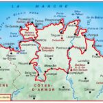
- Covers the Perros-Guirec, Ploumanac’h, Trégastel, and Trébeurden areas
- Routes featuring pink rocks, beaches, harbors, headlands, and coastal paths
- Perfect for a hiking weekend or a walking holiday in Brittany
- Suitable for both casual walkers and regular hikers
- Reliable resource published by FFRandonnée
- Complements local IGN maps well
- Practical guide for discovering one of the most beautiful sections of the GR34
FAQ
Can I use this guidebook to hike the GR34?
Yes. It is particularly useful for planning hikes on the GR®34—the famous "Customs Officers' Path"—in the Pink Granite Coast area.
Which section of the GR34 does this guide cover?
It covers the Pink Granite Coast—specifically around Perros-Guirec, Ploumanac’h, Trégastel, and Trébeurden—which is one of the most iconic sections of the GR34 in Brittany.
Is this guide suitable for a weekend trip on the GR34?
Yes. It is very handy for planning a short trip, selecting various walks, and discovering the most beautiful scenery along the Brittany coast.
Do you need an IGN map as well?
A local IGN map is still useful for visualizing the entire coastline, planning alternative routes, or getting a better idea of access points. The guidebook, meanwhile, provides practical information specific to the routes.
Why choose this guidebook for the Pink Granite Coast?
Because it allows you to plan your hikes along a major section of the GR34 using a specialized, clear, and field-oriented resource.
Features
Name
FFRandonnée GR®34 Guidebook – Pink Granite Coast
Width
13.5 cm
Height
21 cm
Weight
0.13 kg
GR
GR34
Type
Guide, Topoguide
This might interest you
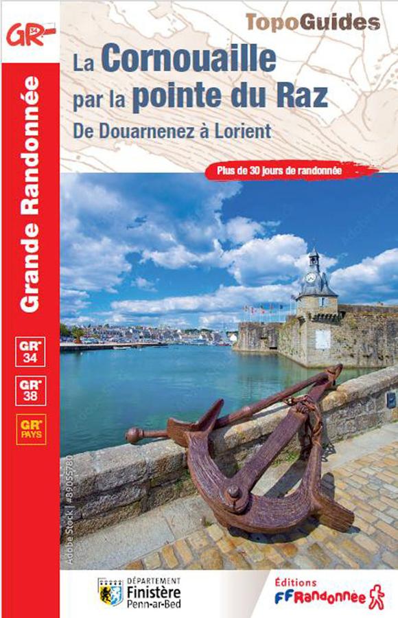
The Cornouaille via the tip of Raz, from Douarnenez to Lorient
Topoguide of hiking FFRP on Cornouaille by the Pointe du Raz from Douarnenez to Lorient with more than 30 days of hiking.
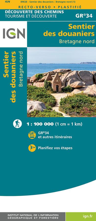
Le sentier des douaniers Bretagne nord - GR34
IGN tourism and discovery map on the customs path GR34 in North Brittany at 1/100 000 from the Mont-St-Michel bay to Saint Nazaire.
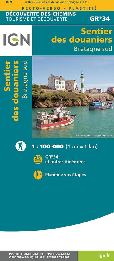
IGN Map: Customs Officers' Path (GR®34) – South Brittany
Carte IGN sur le sentier des douaniers, le GR®34 dans le sud de la Bretagne au 1/100 000. D?couverte des chemins sur le GR®34 et autres itinéraires.
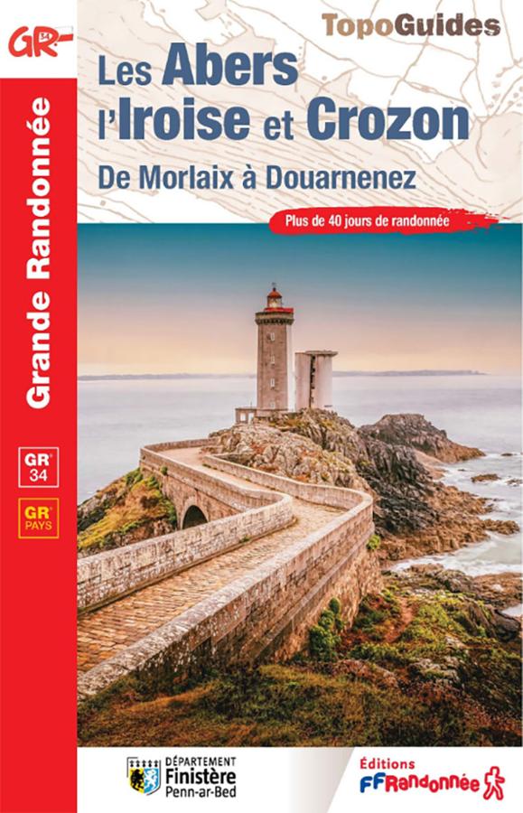
Topoguide GR®34 – Les Abers, l’Iroise et Crozon, de Morlaix à Douarnenez
Hike the GR®34 from Morlaix to Douarnenez with this FFRandonnée guidebook dedicated to the Abers, the Iroise, and the Crozon peninsula. It covers more than 40 days of hiking on the famous coastal path, as well as 3 complementary GR® de Pays trails: the Tour de Morlaix, the Tour d’Iroise, and the Tour de la Presqu’île de Crozon.