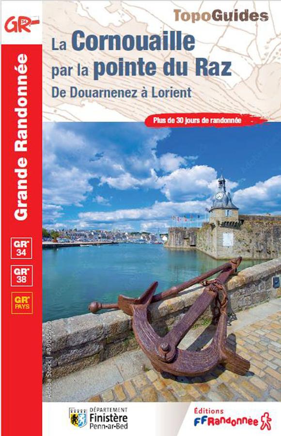
Description
A hiking guidebook for Cornouaille
The FFRandonnée Cornouaille guidebook is ideal for planning a long-distance hike in southern Finistère. It invites you to discover the Breton region of Cornouaille, featuring wild coastlines, harbors, villages, inland landscapes, and major natural sites.
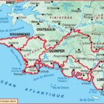
From Douarnenez, hikers can reach Lorient by following one of two major routes. On one hand, the GR®34—also known as the "Customs Officers' Path" (*sentier des douaniers*)—runs along the coast, revealing some of Brittany’s most stunning panoramas. On the other, the GR®38 cuts inland, passing through Quimper and the Black Mountains (Montagnes Noires).
This guide allows you to choose your preferred atmosphere: a coastal hike facing the ocean or an inland trek through the heart of Brittany. Either way, the route promises a wonderful immersion into Breton landscapes, heritage, and identity.
The GR®34 (Customs Officers' Path) between Douarnenez and Lorient
The GR®34 route through Cornouaille is a major highlight of this guidebook. It follows the Breton coastline, allowing hikers to walk right alongside the ocean—a dream route for coastal hiking enthusiasts.
Along the way, walkers encounter cliffs, beaches, rocky headlands, harbors, coves, and vast seascapes. Passing the Pointe du Raz is a highlight of the journey; this spectacular site offers a powerful atmosphere defined by wind, rocks, open sea, and wide-open spaces.
The Customs Officers' Path also takes you through authentic villages and unspoiled landscapes. It is a wonderful way to discover Brittany on foot—far from main roads—at the rhythm of the tides, the changing light, and the coastal paths. The GR®38: A Journey Across the Breton Hinterland
For those wishing to discover a different side of Cornouaille, the GR®38 offers an inland alternative. Starting in Douarnenez, the route makes its way to Lorient via Quimper and the Montagnes Noires (Black Mountains).
This itinerary highlights the inland character of Brittany, featuring valleys, sunken lanes, villages, hedgerow landscapes, forests, and gentler terrain. It offers a deeper understanding of the cultural and geographical richness of the Cornouaille region.
Choosing between the GR34 and the GR38 allows you to tailor your trip to your preferences. Whether it is the spectacular coastline or the Breton interior, each route offers a powerful and complementary experience.
A Major Breton Trek: Planning with Care
Covering over 30 days of hiking, this guidebook is designed for walkers planning a genuine long-distance trek. It can be used to complete the entire route or to select specific stages for a shorter trip.
It is a practical tool for organizing your days, identifying key sections, and planning your itinerary effectively. It is ideal for regular hikers, fans of the GR34, long-distance walkers, and anyone wishing to experience Brittany from a new perspective.
Ultimately, this guidebook is an excellent resource for bringing a hiking adventure in Cornouaille to life, combining nature, heritage, Breton culture, and magnificent landscapes. A wonderful invitation to lace up your boots and set off on a walk between land and sea.
Guide highlights:
- FFRandonnée guidebook dedicated to the Cornouaille region of Finistère
- Over 30 days of hiking
- Long-distance route from Douarnenez to Lorient
- Two major route options: GR®34 or GR®38
- The GR34—the famous "Customs Officers' Path"—for hiking along the coast
- Includes major landmarks such as the Pointe du Raz
- The GR38 for exploring inland Brittany via Quimper and the Montagnes Noires
- Ideal for planning a major hiking trip in Brittany
- Coastal scenery, authentic villages, and vast natural landscapes
- A reliable resource for organizing a long-distance trek or selecting specific stages
FAQ
Which route does the Cornouaille guidebook cover?
It offers a long-distance route from Douarnenez to Lorient, following either the coastal GR®34 or the inland GR®38.
Does this guide allow for hiking on the GR34?
Yes. It highlights a significant section of the GR®34—the famous "Customs Officers' Path"—taking in the Finistère coastline, the Pointe du Raz, harbors, beaches, and sea views.
What is the difference between the GR34 and the GR38?
The GR34 runs along the Breton coast. The GR38, on the other hand, cuts further inland, passing through Quimper and the Montagnes Noires.
How many days of hiking are included?
The guide covers over 30 days of hiking, allowing you to plan a full long-distance trek or choose just a few stages.
Who is this guidebook for?
It is designed for long-distance hikers, lovers of Brittany, GR34 walkers, and anyone wishing to explore the Cornouaille region on foot.
Features
Name
The Cornouaille via the tip of Raz, from Douarnenez to Lorient
Width
13.5 cm
Height
21 cm
Weight
0.25 kg
GR
GR34
Language
French
Type
Topoguide
This might interest you
Brittany on Foot - FFRandonnée
40 walks and hikes in Brittany. Explore Côtes d'Armor, Finistère, Ile-et-Vilaine, and Morbihan with this FFRandonnée guidebook.
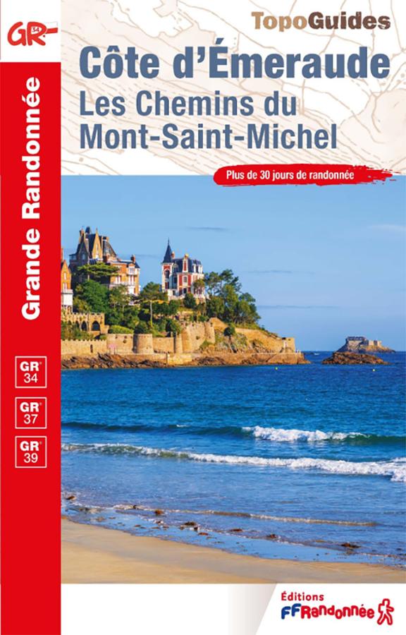
FFRandonnée Guidebook: Emerald Coast – Hikes between Saint-Malo, Dinard, and Cap Fréhel
Plan your hikes along the Emerald Coast with this FFRandonnée guidebook dedicated to one of Brittany’s most beautiful stretches of coastline. Covering the area between Saint-Malo, Dinard, Cancale, the Rance Estuary, and Cap Fréhel, this guide leads walkers along diverse routes featuring coastal paths, beaches, rocky headlands, harbors, villages, and stunning sea views. It is a practical resource for organizing day trips, a hiking weekend, or a walking holiday in northern Brittany.
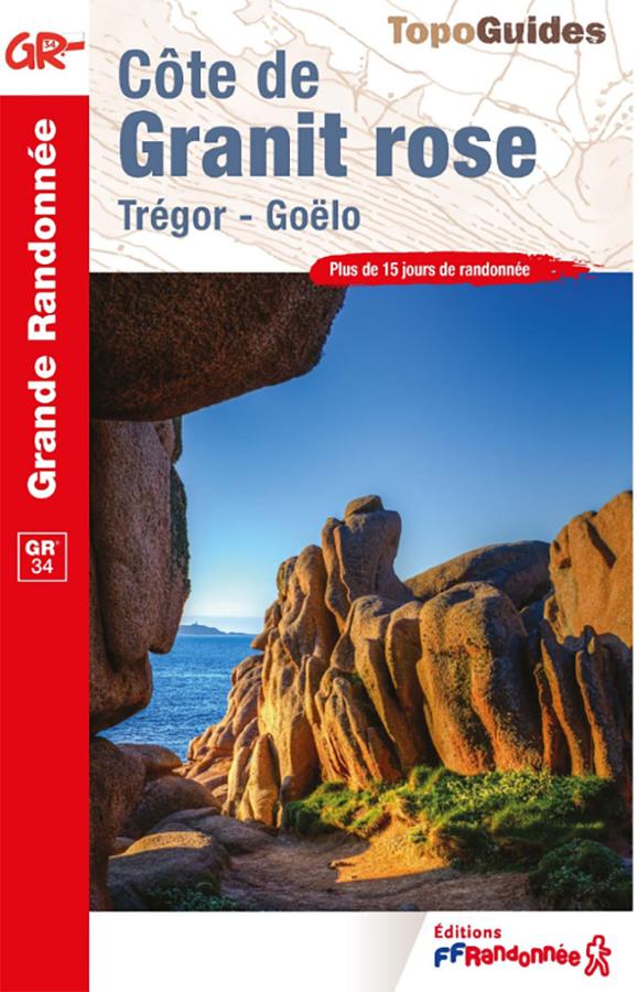
FFRandonnée GR®34 Guidebook – Pink Granite Coast
Plan your hikes along the GR®34—the famous "Customs Officers' Path"—with this FFRandonnée guidebook dedicated to the Pink Granite Coast. Covering the area between Perros-Guirec, Ploumanac’h, Trégastel, and Trébeurden—with its beaches, harbors, pink rock formations, and coastal vistas—this guide accompanies walkers along one of the most beautiful stretches of the Brittany coastline. It is an essential resource for organizing a hike on the GR34, a day trip, or a walking holiday in the Côtes-d’Armor.