
Description
An IGN map for planning your GR®34 hike in Southern Brittany
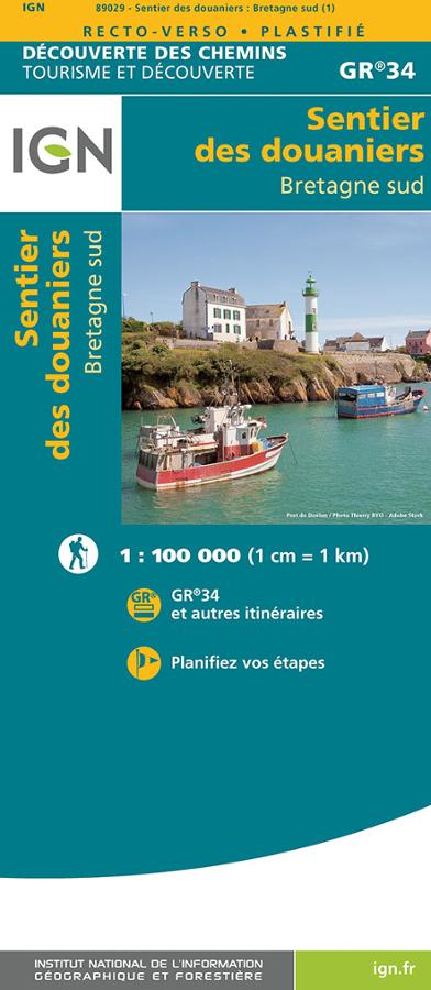
The *Sentier des Douaniers* (Customs Officers' Path) GR®34 – Southern Brittany map is designed for hikers wishing to walk one of France's most beautiful coastal routes. The GR34 follows the Breton coastline, offering a chance to discover the region right by the sea.
This map helps you visualize the route, identify the main areas it traverses, and plan your hiking trip. It is useful for organizing a multi-day trek or for selecting specific stages for a weekend getaway or a holiday in Brittany.
With its clear layout, it helps you anticipate distances, access points, start and finish locations, and points of interest. It is a simple, effective tool for turning the idea of hiking the GR34 into a concrete itinerary.
The *Sentier des Douaniers* in Southern Brittany
In Southern Brittany, the GR®34 offers a different atmosphere compared to the north coast. The coastline is gentler in places yet remains highly varied. You will encounter harbors, beaches, peninsulas, islands, *rias* (coastal inlets), coastal paths, villages, and numerous ocean viewpoints.
This map allows you to plan a hike that blends land and sea, featuring the alternating landscapes typical of Southern Brittany: coastal paths, small roads, sections near harbors, sheltered coves, rocky headlands, and open views of the Atlantic.
It is suitable for both long-distance trekkers and day-hikers looking to plan a few scenic outings. This allows everyone to tailor their route to their fitness level, available time, and where they are staying.
A practical tool for planning your walking trip
The IGN "Découverte des Chemins GR34 Bretagne sud" map is the perfect complement to a guidebook, GPS track, or more detailed map. It provides a broader perspective, helping you understand the overall layout of the route. It is particularly useful for selecting a section, planning an endpoint, identifying access points, and organizing a multi-stage hike. It also allows you to devise alternative routes or get a better sense of the areas to explore during your trip.
Above all, this map inspires you to hit the trail. It showcases the full potential of the southern Brittany coast: the sea, harbors, beaches, villages, islands, and that unique feeling of moving at the pace of the *Sentier des Douaniers* (Customs Officers' Path).
>> North Brittany *Sentier des Douaniers* map
Map highlights:
- IGN map dedicated to the *Sentier des Douaniers* (GR®34)
- "Découverte des Chemins" (Trail Discovery) collection
- Ideal for planning a hike in southern Brittany
- Practical tool for visualizing the GR34 route
- Useful for organizing a weekend trip, specific stages, or a multi-day trek
- Helps identify key areas along the southern Brittany coast
- Perfect to use alongside a guidebook or GPS track
- Suitable for both regular hikers and holiday walkers
- Highlights one of France's most beautiful coastal paths
- Paper map useful for planning your route before setting off
FAQ
What is the Southern Brittany GR34 *Sentier des Douaniers* map used for?
It is used to plan a hike along the GR®34 in southern Brittany. It allows you to visualize the route, choose a section, and organize your stages.
Is this map suitable for a multi-day trek?
Yes. It is very practical for planning a multi-day route, identifying key areas, and maintaining an overview of the trail.
Can it be used for a weekend trip on the GR34?
Yes. It is also suitable for selecting a few stages of the *Sentier des Douaniers* during a short stay in southern Brittany.
Do I need a guidebook as well?
A guidebook can be useful for obtaining more detailed information on stages, accommodation, or route descriptions. The map, meanwhile, provides a very practical overview. Why choose an IGN map for the GR34?
Because it allows you to plan your route using a reliable, legible paper map designed for hiking. It helps you better understand the trail layout, access points, and the geography of the Brittany coast.
Features
Name
IGN Map: Customs Officers' Path (GR®34) – South Brittany
Width
13 cm
Height
21 cm
Weight
0.09 kg
GR
GR34
Language
English, French
Publishers
IGN
Scale
1/100 000
This might interest you
Le sentier des douaniers Bretagne nord - GR34
IGN tourism and discovery map on the customs path GR34 in North Brittany at 1/100 000 from the Mont-St-Michel bay to Saint Nazaire.
Côte de Granit Rose - Lannion - carte IGN
TOP 25 mini carte IGN de randonnée à vélo et à pied sur la Côte de Granit Rose, Lannion et Perros-Guirec au 1/25 000.
The Cornouaille via the tip of Raz, from Douarnenez to Lorient
Topoguide of hiking FFRP on Cornouaille by the Pointe du Raz from Douarnenez to Lorient with more than 30 days of hiking.
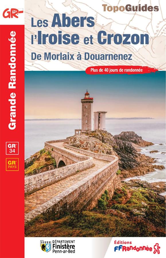
Topoguide GR®34 – Les Abers, l’Iroise et Crozon, de Morlaix à Douarnenez
Hike the GR®34 from Morlaix to Douarnenez with this FFRandonnée guidebook dedicated to the Abers, the Iroise, and the Crozon peninsula. It covers more than 40 days of hiking on the famous coastal path, as well as 3 complementary GR® de Pays trails: the Tour de Morlaix, the Tour d’Iroise, and the Tour de la Presqu’île de Crozon.