
Description
Chaîne des Puys and Massif du Sancy map
1/75,000 scale hiking and biking map to prepare your itineraries in the Chaîne des Puys and Massif du Sancy.
The IGN map includes :
- Hiking routes
- GPS-compatible
- Tourist information
- Outdoor activities
- Index of communes
Features :
- Edition: 2023
- Language : French, English, German
- Dimensions: 25 X 11 cm
- Scale : 1/75 000
- Weight: 0.110 kg
- Publisher : IGN
Features
Name
Chaîne des Puys - Massif du Sancy - carte IGN
Length
11 cm
Height
25 cm
Weight
0.11 kg
Language
English, French, German
This might interest you
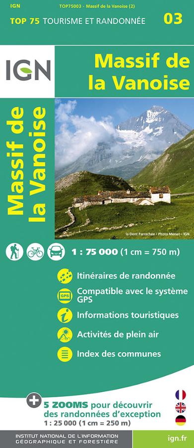
Massif de la Vanoise - Carte IGN TOP75
IGN TOP 75 tourism and hiking map of the Massif de la Vanoise with hiking routes and tourist information.
9,50€
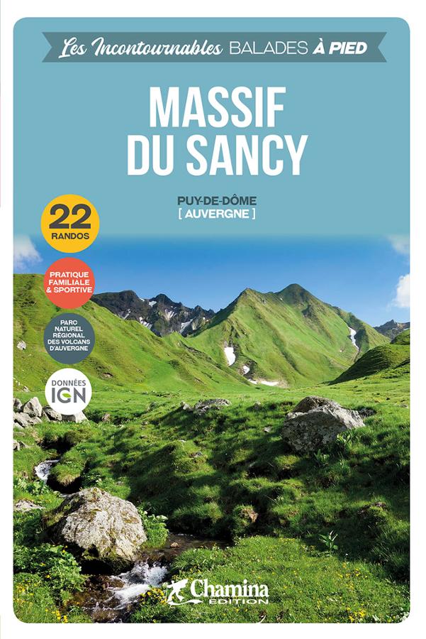
Massif du Sancy à pied - 22 randos
Guide de randonné pédestre sur le Massif du Sancy et dans le parc naturel régional des volcans d'Auvergne. Sélection de 22 randos avec descriptifs et cartes détaillées.
11,00€
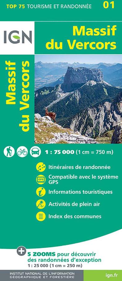
Massif du Vercors - carte IGN
TOP 75 Tourism and hiking map of the Massif du Vercors with cycling and walking itineraries and tourist information.
9,50€