

Description
Hiking in the Massif du Vercors
TOP 75 map of the Massif du Vercors in Isère, with all hiking and biking itineraries and 5 zooms to discover exceptional hikes at 1:25,000 scale.
The IGN map includes :
- 1/75,000 scale map
- GPS compatible
- tourist information
- Outdoor activities
- Index of communes
Features :
- Edition: 2023
- Language : French, English, German
- Dimensions: 25 X 11 cm
- Scale : 1/75 000
- Weight: 0.110 kg
- Publisher : IGN
Features
Name
Massif du Vercors - carte IGN
Length
11 cm
Height
25 cm
Weight
0.11 kg
Language
English, French, German
This might interest you
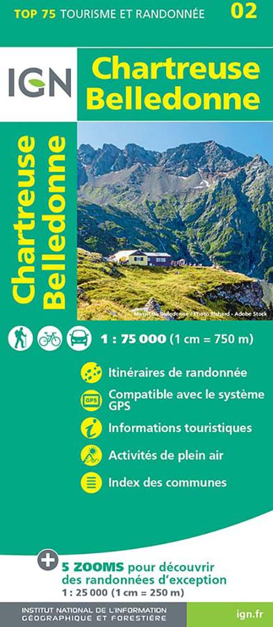
Chartreuse Belledonne - TOP 75
IGN TOP 75 map to plan your cycling or walking tour of the Chartreuse and Belledonne Massifs, with tourist information.
9,50€
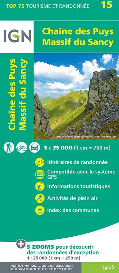
Chaîne des Puys - Massif du Sancy - carte IGN
IGN TOP 75 map of the Chaîne des Puys and Massif du Sancy with hiking itineraries and tourist information.
9,50€
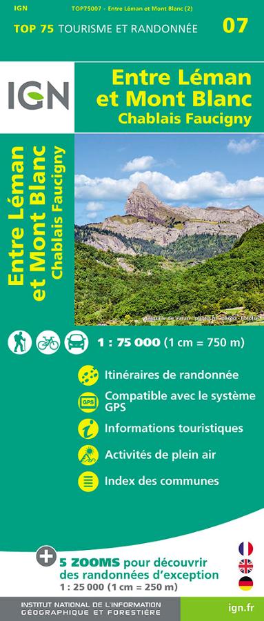
Entre Léman et Mont-Blanc - carte IGN TOP 75
IGN TOP 75 Tourism and hiking map Entre Léman et Mont Blanc Chablais Faucigny with all hiking itineraries.
9,50€