
Description
A hiking map between the Saône and Beaujolais regions
The "Between the Saône, Vineyards and Beaujolais Mountains" map guide is designed to help you plan your walks and hikes in the northern part of the Rhône department. It covers a diverse area, situated between the Saône River to the east, the Beaujolais mountains to the west, the Vauxonne Valley to the north, and the Morgon Valley to the south.
This map allows you to explore the Villefranche-sur-Saône region, in an environment that is both natural, wine-growing, and rich in heritage. Hikers will find a beautiful diversity of landscapes, ideal for varying their outings.
At a scale of 1:25,000, the map guide offers a precise view of the terrain. It helps you locate paths, hills, villages, waterways, and points of interest.
Vineyards, Villages, and Landscapes of Beaujolais
This area of Beaujolais is ideal for hiking. The trails wind through rolling vineyards, charming villages, wooded ridges, and more open spaces.
The banks of the Saône River offer a gentler atmosphere, with floodplains and accessible paths. Further west, the Beaujolais hills provide more varied terrain and panoramic views.
Moreover, this diversity allows you to choose a route according to your fitness level. The map guide is therefore suitable for families looking for a leisurely stroll as well as hikers seeking a more challenging outing.
A practical guide for hiking in the Rhône
This map guide is a simple and effective tool for planning your hikes in Beaujolais. It allows you to visualize the routes, estimate distances, and better understand the local terrain.
It is particularly useful for local residents, visitors passing through the Villefranche-sur-Saône area, and hikers in the Rhône region.
Finally, its map format makes it easy to carry. It perfectly complements a hiking guidebook or GPS track, especially for maintaining an overview of the area.
Map Highlights:
- Map guide dedicated to hikes between the Saône and Beaujolais regions
- Accurate 1:25,000 scale
- Area around Villefranche-sur-Saône
- Varied landscapes: vineyards, villages, ridges, woods, moors, and the banks of the Saône River
- Ideal for family walks
- Also suitable for more challenging hikes
- Practical tool for planning routes in the Rhône region
- Useful map for exploring the Villefranche-sur-Saône region
- Good complement to a GPS track
- Easy-to-pack format
FAQ
What area does this map guide cover?
It covers the area between the Saône River, the vineyards, and the Beaujolais hills, around Villefranche-sur-Saône and the surrounding area.
Is this map suitable for hiking?
Yes. It's a 1:25,000 scale map for walks and hikes, useful for planning outings in the Beaujolais region.
Can it be used for family walks?
Yes. The area offers a variety of routes, with accessible walks and more challenging trails depending on the area.
What landscapes can you discover with this map?
You'll find the banks of the Saône, the Beaujolais vineyards, villages, wooded ridges, heathland, and valleys.
Can this map replace a GPS?
It can be used on its own to plan an outing, but it's also very useful in conjunction with a GPS track to maintain an overall view of the terrain.
Features
Name
BETWEEN SAÔNE, VINEYARDS AND BEAUJOLAIS MOUNTAINS
Length
11 cm
Height
22 cm
Weight
0.08 kg
Language
French
This might interest you
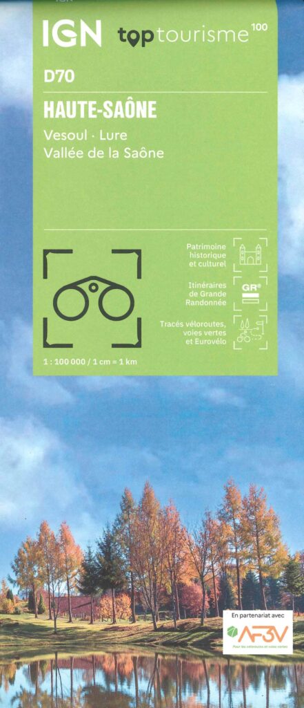
Carte Haute Saône - Vesoul, Lure, Vallée de la Saône IGN TOP 100
Saddle up for Haute-Saône! The new IGN TOP100 map is your ideal companion for exploring the department by bike and on foot. Greenways, small roads, reliefs: all the routes are detailed. Travel the valleys, plateaus and forests in complete safety.
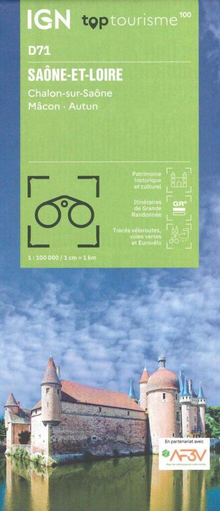
Carte Saône-et-Loire - Chalon-sur-Saône, Macon, Autun IGN TOP 100
This “TopTourisme” card is ideal for preparing your trip to Saône-et-Loire. With these points of interest, these cycle routes, greenways and these GR. Leave peacefully.
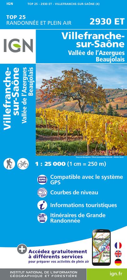
TOP25 Villefranche-Sur-Saône
Map of hiking and outdoor activities in Villefranche-sur-Saône, Azergues valley and Beaujolais TOP 25.