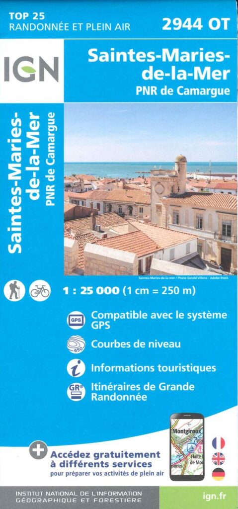


Description
Camargue and Saintes-Maries-de-la-Mer National Park
Visit Saintes-Maries-de-la-Mer with complete peace of mind with this very detailed map (1/25,000, 1cm = 250 m). Marvel at this Camargue Natural Park where you will certainly encounter colonies of Pink Flamingos, Pond Turtles, Cattle Egrets, of course Camargue White Horses and Camargue Bulls.
Don't forget the camera, binoculars, cap and sunscreen.
This card includes:
- Camargue PNR
- Walking and cycling map
- Compatible with the GPS system
- Practical information (parking, viewpoint, gîtes, campsite, etc.) and tourist information (ponds, reserves,
- Long-distance hiking routes
- Contour line
Everyone has their own route with route ideas for diverse and varied nature activities.
Features :
- Edition: 2024
- Language: French, English, German
- Flat dimensions: 121 x 100 cm
- Folded dimensions: 25 x 11.1 cm
- Printing: Single sided
- scale: 1/25,000
- Weight: 0.100 kg
- Publisher: IGN
Features
Name
Camargue and Saintes-Maries-de-la-Mer National Park- 1/12,500
Length
11 cm
Width
1 cm
Height
25 cm
Weight
0.100 kg
Language
English, French, German
Type
Map
This might interest you
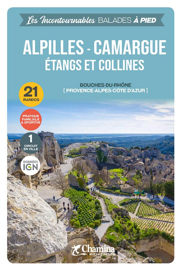
Alpilles - Camargue - 21 balades à pied
Guide de randonnée pédestre dans les Bouches-du-Rhône, les Alpilles, Camargue, étangs et collines. Sélection des 21 plus belles randos familiales et sportives avec cartes IGN.
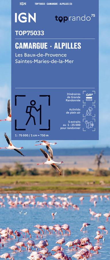
Camargue - Alpilles - carte IGN TOP75
Explore the Camargue and the Alpilles with this IGN TOP 75 map, ideal for planning hikes, bike rides, and sightseeing. From the Camargue to Saintes-Maries-de-la-Mer, and on to the Alpilles and Les Baux-de-Provence, it offers clear 1:75,000 scale mapping, with roads, trails, GR® routes, tourist information, terrain features, and TOP 25 1:25,000 scale zooms.
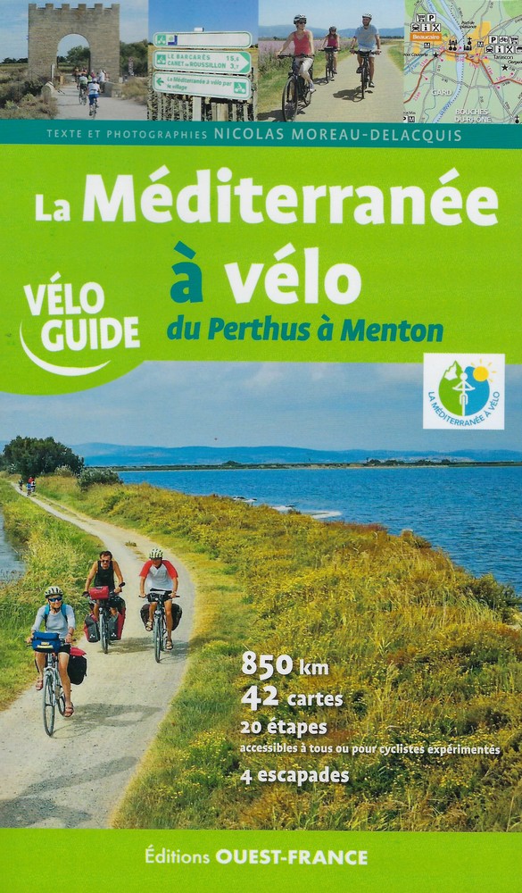
La Méditerranée à vélo
La Méditerranée à vélo, du Perthus à Menton. Ce guide recense plus 1000 km d'itinéraire cyclable sur un parcours divisé en 20 étapes.