


Description
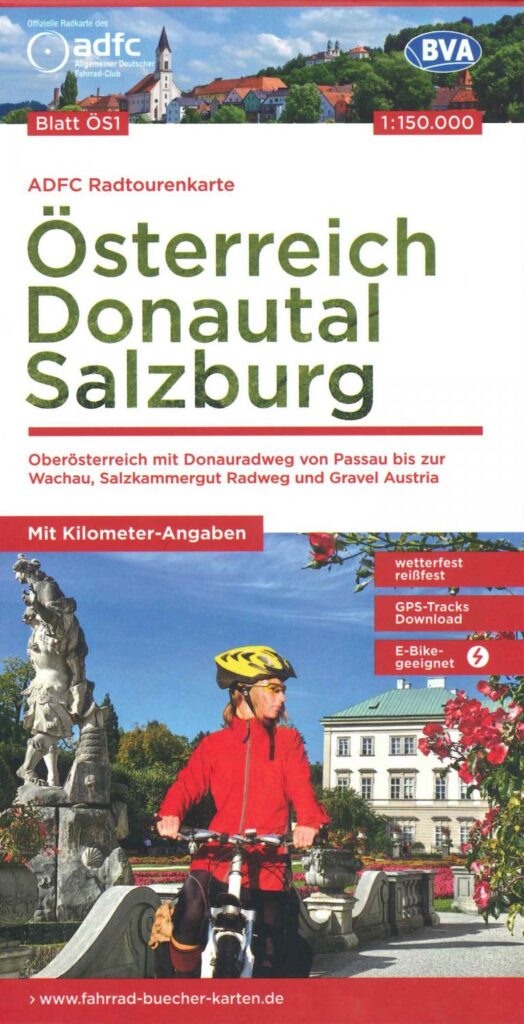
Austria : Danube Valley - Salzburg
Here is a first edition at 1/150000. Detailed, cycle and gravel paths along the Danube, linking Passau to Wachau, Salkammergut.
This card offers you:
- Accurate with reliefs, contour lines, height differences, paved roads, traffic, distances and altitude profiles to download
- Network of cycle paths and long-distance routes and regional cycle routes
- Tourist information and accommodation (campsites, hotels, etc.)
- GPX courses and long-distance cycle paths
- GPS tracks, 5km UTM grid
- Suitable for electric bikes
- Extract from the Ös2 map
Features
Name
Austria Cycle Map : Danube Valley - Salzburg
Length
12 cm
Width
1.40 cm
Height
22 cm
Weight
0.11 kg
Language
German
Scale
1/150 000
Type
Map
This might interest you

Tyrol carte routière et touristique - Freytag & Berndt
Freytag & Berndt tourist map of the Tyrol region in Austria with cycle paths and town plans at 1/150,000 scale.
12,90€
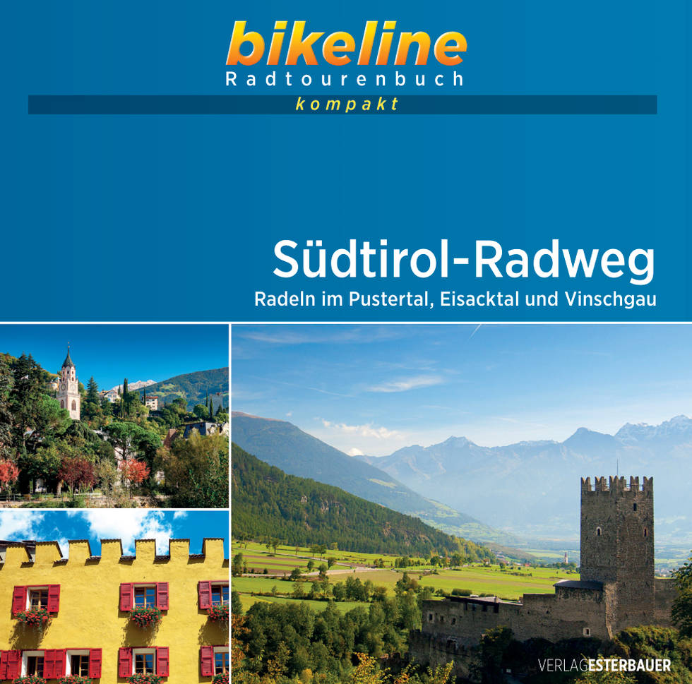
Tyrol du sud à vélo - Südtirol-Radweg
Bikeline's compact guide to cycling in Italia's South Tyrol, Pustertal, Eisacktal and Vinschgau.
10,44€