
Description
Tyrol map
Prepare your cycling trip to Tyrol with this practical Freytag & Berndt 1/150,000 road and tourist map.
City maps and a sightseeing notebook help you discover this region of Austria.
The map includes Tyrol's tourist routes and cycle paths, so you can plan your itineraries through this magnificent region.
You can visit the towns of Innsbruck, Landeck and Kundl.
Features :
- Edition: 2024
- Language: English, German, Italian
- Dimensions: 25.5 X 13 cm
- Scale: 1/150,000
- Weight: 0.180 kgs
- Publisher : Freytag & Berndt
Features
Name
Tyrol carte routière et touristique - Freytag & Berndt
Length
13 cm
Width
1 cm
Height
25.50 cm
Weight
0.160 kg
Language
English, German, Italian
Type
Map
This might interest you
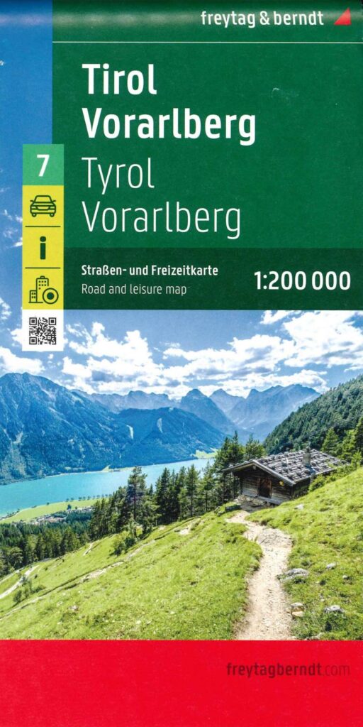
Tourist map - Tyrol and Vorarlberg
Plan your stay in the alpine regions of Tyrol and Vorarlberg in western Austria. This 1:200,000 scale map from Freytag&Berndt shows you the most beautiful tours and tourist routes.
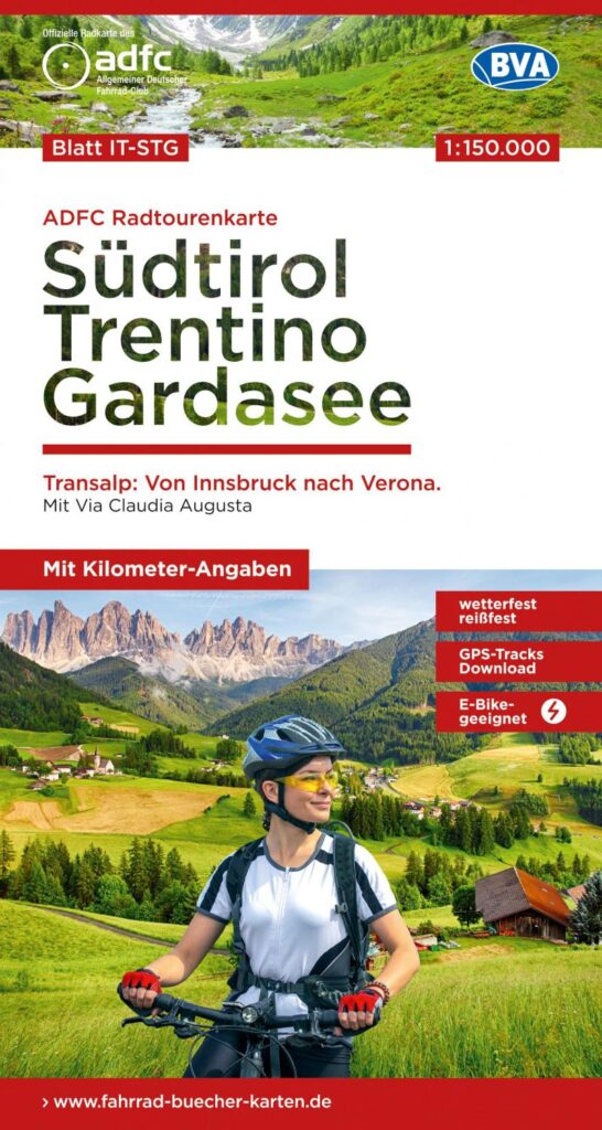
Südtirol Trentino Gardasee - cycle map
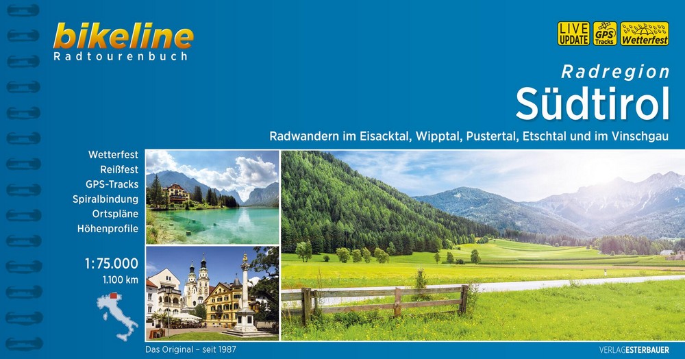
Tyrol du Sud à vélo - Radregion Südtirol 2018
Piste cyclable du Tyrol du Sud en Italie avec 1081 km d'itinéraires et cartes au 1/75 000. Guide en version allemande avec traces GPS téléchargeables.