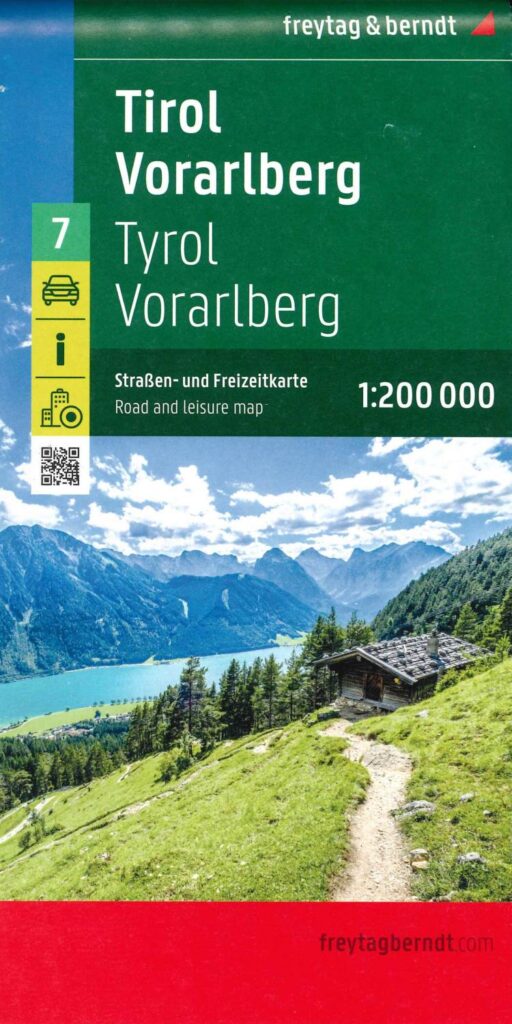


Description
Roadmap · Tyrol and Vorarlberg
Freytag&Bernt invites you to discover Tyrol and Vorarlberg in this 2024 edition roadmap. Indeed, these two emblematic Austrian regions offer breathtaking Alpine landscapes and a rich culture, which you'll discover on your bike tour. Their roads, between green valleys and snow-capped peaks, make these Länder a cyclist's paradise.
Tyrol map
Tyrol, known for its mountain villages, castles and lakes, offers trails for all levels. Of course, you'll find beautiful trails along rivers and mythical Alpine passes like the Brenner Pass. Its capital is Innsbruck, a 12th-century town nestled in the heart of the Alps. It reached its apogee under the Habsburgs, a powerful European royal family that ruled vast territories, including Austria and Spain, who made it their imperial residence, leaving a lasting imprint on its architecture and development.
Vorarlberg map
This Land is in the west of Austria. It is renowned for its rugged mountains, verdant valleys and traditional crafts. Cyclists ride along the south-eastern shores of Lake Constance, passing through charming traditional villages and admiring the snow-capped peaks of the Austrian Alps. Its chief town is Bregenz. Indeed, the town is ideally situated on the shores of Lake Constance, offering an exceptional setting. What's more, its history dates back to Roman times, and was strongly influenced by the Habsburgs. What's more, the historic center, with its medieval alleyways and castle, is a must-see.
So, whether you're an avid cyclist looking for a challenge or a leisurely stroller, Tyrol and Vorarlberg offer a wealth of opportunities to discover the natural beauty and cultural richness of these Alpine regions by bike!
In this roadmap you'll find :
- Detailed road network with numbers, distances
- 1/200,000 Scale (1cm = 2km)
- Cycle routes
- Railroads, stations, airports and ferry lines
- Tourist information, national parks, campsites and youth hostels, marinas
- Zooms of Innsbruck and Bregenz city centers
Features
Name
Tourist map - Tyrol and Vorarlberg
Weight
0.27 kg
Language
English, French, German, Italian, Spanish
Scale
1/200 000
Type
Map
This might interest you
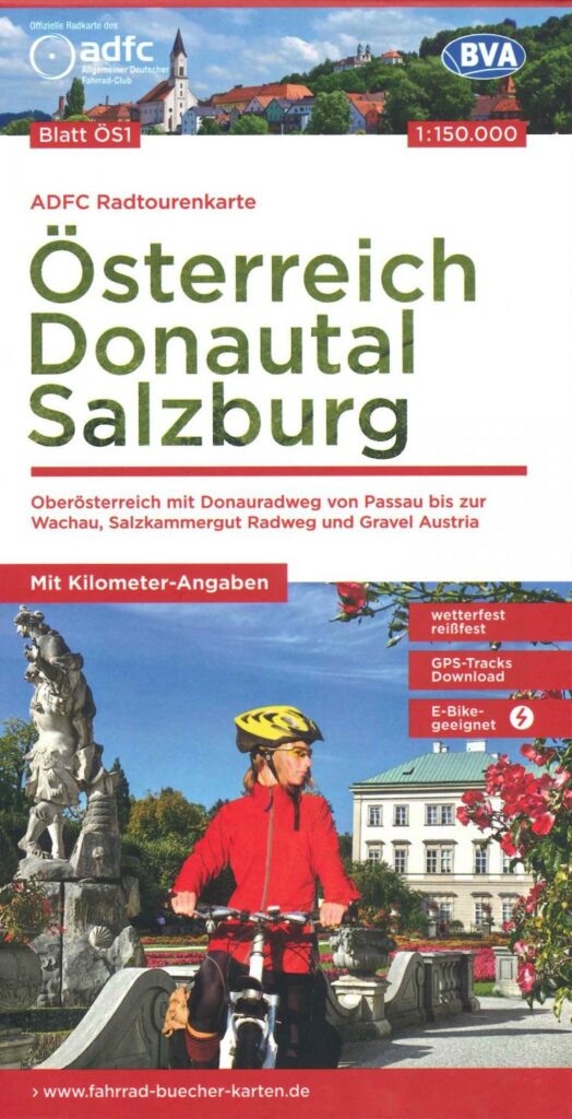
Austria Cycle Map : Danube Valley - Salzburg
First edition of the Danube valley at 1/150 000. It details the cycle paths linking Passau to Wachau, Salkammergut and Gravel. Suitable for electric bikes. Downloadable GPS tracks.
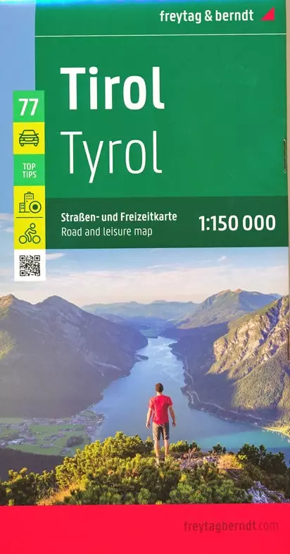
Tyrol carte routière et touristique - Freytag & Berndt
Freytag & Berndt tourist map of the Tyrol region in Austria with cycle paths and town plans at 1/150,000 scale.