Description
Hiking at the gates of Cornouaille, South Finistère
Here is one of the new maps from the French Hiking Federation. Special for roaming, lightweight (0.50 gr), tear-resistant and waterproof.
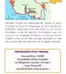
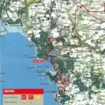
Travel from Concarneau to Quimperlé, on the coastal coasts. Discover stone cottages, retrace the history of sailors and peasants, discover the landscapes of the Rias de l'Aven and Bélon so often painted by Gauguin and his fellow painters.
You will find on this map:
- 10 days of hiking
- 197 km of route on IGN background
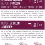
- Suggested stages for the day
- Accommodation, restaurants, transport
- Access to the GPX track
- Points of interest along the route
Made in France
Features
Name
FFRP map - The gates of Cornouaille
Length
25.20 cm
Height
10.80 cm
GR
GR34
Language
French
Type
Map
This might interest you
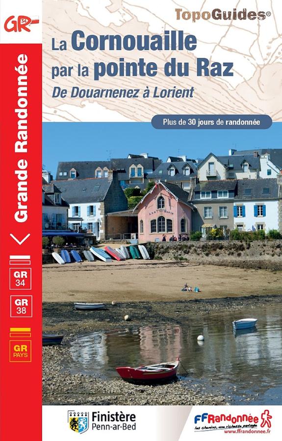
The Cornouaille via the tip of Raz, from Douarnenez to Lorient
Topoguide of hiking FFRP on Cornouaille by the Pointe du Raz from Douarnenez to Lorient with more than 30 days of hiking.

Le Canal de Nantes à Brest, le halage et ses alentours
Topoguide de 30 balades familiales sur le Canal de Nantes à Brest en Bretagne et ses alentours avec cartes détaillées, descriptifs et informations pratiques.
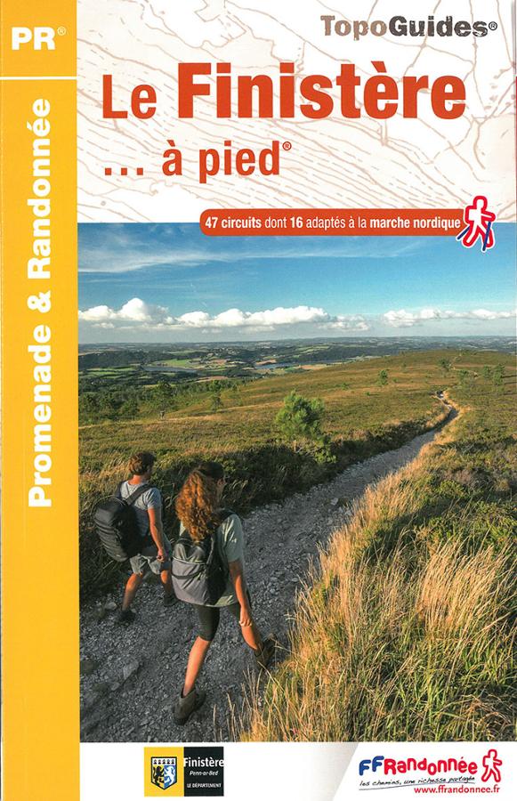
Le Finistère à pied
Topoguide FFRP promenade et randonnée en Finistère avec une sélection de 47 circuits dont 16 adaptés à la marche nordique.