
Description
Hiking in the Gorges and the Tarn valley
Get complete and detailed topoguides to prepare your hikes to discover majestic canyons, the Millau viaduct and picturesque villages. You leave from the summit of the Cévennes to reach St Nicolas de la Grave which flows into the Garonne.
This route invites you to travel through the Cévennes and the vast plateaus of the Grands Causses to finish in Albi.
The topoguide includes:
- IGN maps
- Marked routes in the field
- Walks classified by level of difficulty
- Essential practical information
- Photos to discover the region
Features :
- Edition: 2023
- French language
- Dimensions: 21 x 13.50 cm
- Number of pages: 112
- Weight: 0.190 kg
- Publisher: FFRP
Features
Name
Gorges et Vallée du Tarn - GR®736
Length
13.5 cm
Height
21 cm
Weight
0.19 kg
Language
French
Type
Topoguide
This might interest you
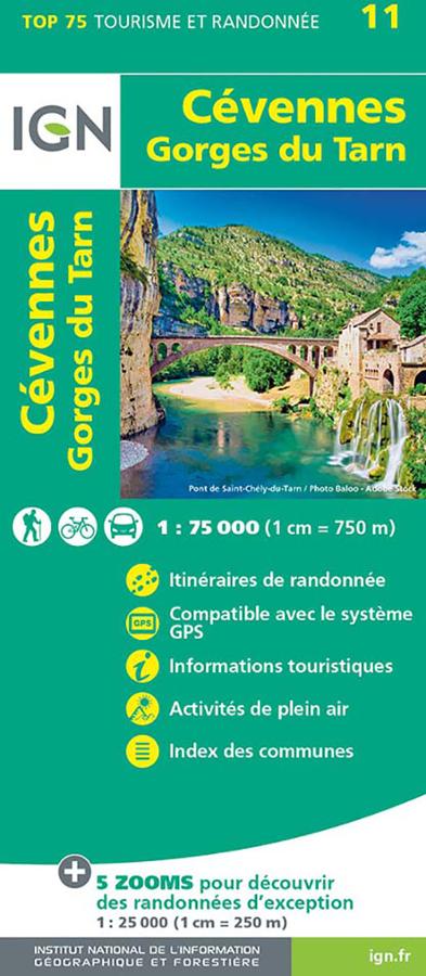
Carte IGN - Cévennes, Gorge du Tarn
Top 75 tourisme et randonnée, Cévennes et Gorges du Tarn.
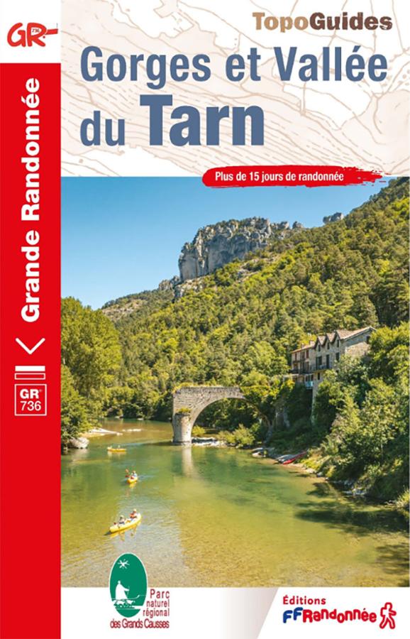
Topoguide GR®736 – Gorges et Vallée du Tarn, de Villefort à Albi
Hike the GR®736 – Gorges and Tarn Valley with this FFRandonnée guidebook. From Villefort to Albi, the route follows the Tarn River for approximately 310 km. It crosses the Cévennes, the Tarn Gorges and the Grands Causses, between canyons, plateaus, remarkable villages and wild landscapes.
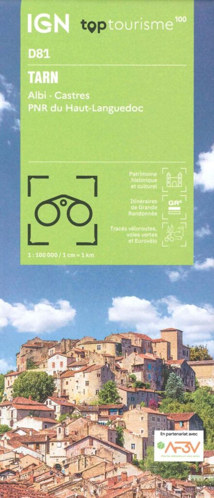
Carte Tarn - Albi, Castres, PNR du Haut-Languedoc IGN TOP 100
New IGN 100 Map - On foot, by bike, by car. It includes the GR3, GR36, GR46, GRP des Cordes du Tours des Monts du Lévézou, the V85 cycle route, the greenways. Without forgetting the accommodation, remarkable sites, outdoor activities.