Description
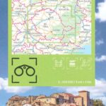
IGN map of Tarn
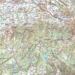
The TOP 100 series returns with a complete revision including an updated departmental breakdown. With its new scale of 1:100,000 (1 cm = 1 km), the TOP 100 offers the perfect map for exploring a region and practicing tourism on foot (GR), by bike or by car. The cycle routes are specially designed in partnership with the AF3V association - VéloRoutes et Voies Vertes, guaranteeing a safe and enriching experience.
This map includes points of interest such as:
Historical and cultural heritage,
Outdoor activities: climbing, hang gliding, reserve, park and garden
Accommodation: Refuges, campsites, lodges
GRs and their variants:
- GR46
- GR3 du Var
- GRP Gorges du Viaur
- GR36
- GRP Grand Tour of the Mountains and Lakes of Lévézou
- GRP Cordes
Cycle routes, greenways and Eurovélo
- Cycle routes: V85 (Albi-st Supplice)
Around the towns of Castres, MAzamet, Réalmont, St Supplice la Pointe, Villefranche de Lauragais, Toulous, Albi, Gaillac, Caussade...
Everyone has their own route with route ideas for diverse and varied nature activities.
Features :
- Edition: 2024
- Language: French, English, German
- Dimensions: 25 x 11.1 cm
- scale: 1/100,000
- Weight: 0.100 kgs
- Publisher: IGN
Features
Name
Carte Tarn - Albi, Castres, PNR du Haut-Languedoc IGN TOP 100
Length
11 cm
Width
1 cm
Height
25 cm
Weight
0.100 kg
Language
English, French, German
Type
Map
This might interest you
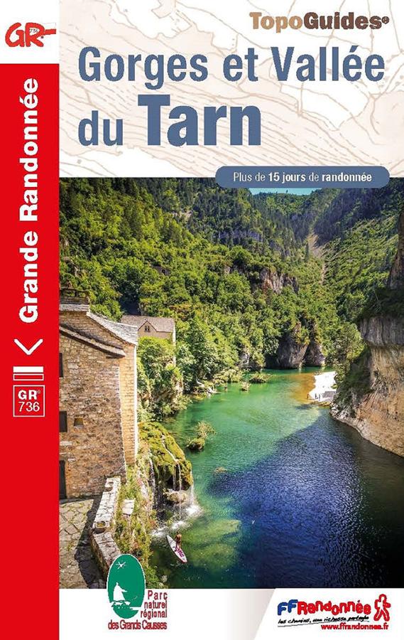
Gorges et Vallée du Tarn - GR®736
FFRP hiking topoguide Gorges and Tarn valley on the GR736 with more than 15 days of hiking between Mont Lozère and the Garonne.
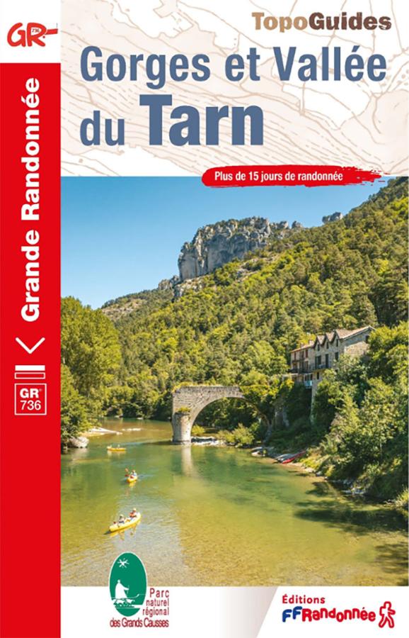
Topoguide GR®736 – Gorges et Vallée du Tarn, de Villefort à Albi
Hike the GR®736 – Gorges and Tarn Valley with this FFRandonnée guidebook. From Villefort to Albi, the route follows the Tarn River for approximately 310 km. It crosses the Cévennes, the Tarn Gorges and the Grands Causses, between canyons, plateaus, remarkable villages and wild landscapes.
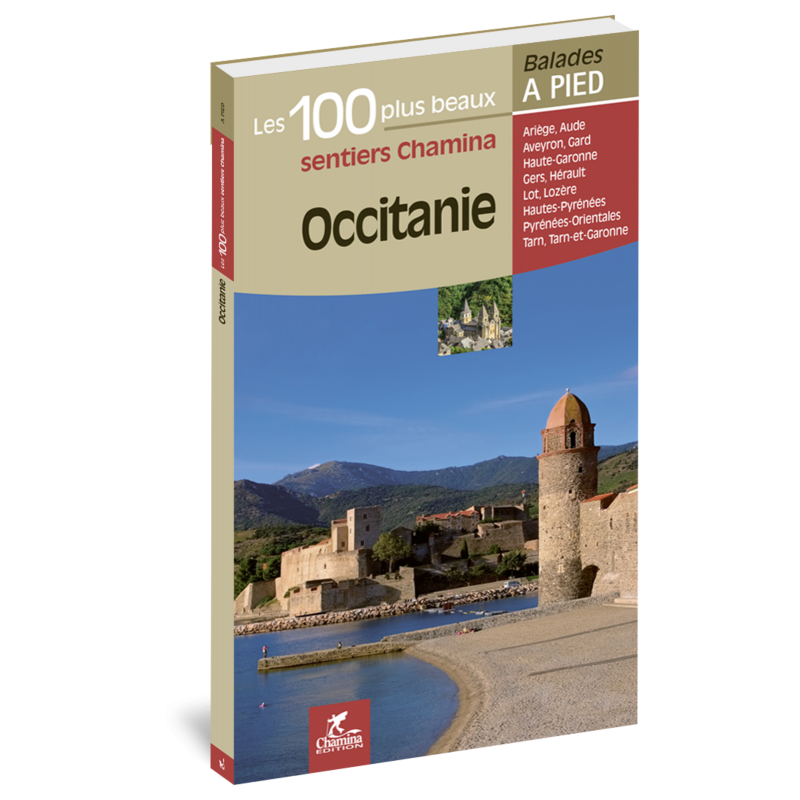
Occitanie, 100 balades à pied
Découvrez les plus belles balades à pied en Occitanie à travers cette sélections de 100 randonnées.