

Description
Hiking on the Miniature Continent
Gran Canaria is a stunning island, known for its diverse landscapes and year-round pleasant climate. It earned its nickname of “miniature continent” from the contrast of its landscapes, ranging from the green of the pine forests to the red-black of the volcanic soil, not forgetting the soft beige colour of the dunes. Located in the Atlantic Ocean, off the northwest coast of Africa, it is part of the Canary Islands, an autonomous community of Spain.
Gran Canaria's best spots :
- North of the island: head for the Belvedere d'Andén Verde, known to locals as the “dragon's tail”.
- Tejeda, one of Spain's most beautiful villages.
- Los Azulejos natural site: look at the beautiful colors of the rocks
- Tamabada Nature Park, a particularly well-preserved primeval pine forest!
- In the south of the island, the Maspalomas Dunes.
- The port of Mogán, in the province of Las Palmas: a charming old fishing village.
GR® and other trails :
- GR® 131 Gran Canaria: links all the Canary Islands, extension of the European E7 trail from Hungary to Portugal. 3600m ascent. 80km to cover. Fantastic to do, even in short sections.
- Roque Nublo: moderate difficulty. Large cliffs formed by volcanic activity.
- Caldera de Bandama: moderate difficulty. Along the trail, cuevas used by the indigenous Guanche people.
- Maspalomas pond and dunes: easy. An 8km loop (1h45), beware of the sand in your shoes ! Be sure to bring appropriate footwear.
This road map offers :
- Very high resistance to rain and folding/tearing.
- 1/50,000 scale (1cm = 500m)
- All major towns on the island
- Destinations of interest
- Hiking and GR® trails
- Very detailed legend
- 2022 Edition
Extremely detailed legend :
- Significant points of interest
- Freeways and expressways + planned freeways
- High-volume roads
- Main and secondary roads
- Hiking trails
- Scenic routes and tourist routes
- Service stations, relay stations, parking lots, towns, rest areas
- etc.
Features
Name
Gran Canaria - Roadmap - Freytag&berndt
Length
13 cm
Width
1.5 cm
Height
25.5 cm
Weight
0.2 kg
Scale 1/50 000
Type
Map
This might interest you
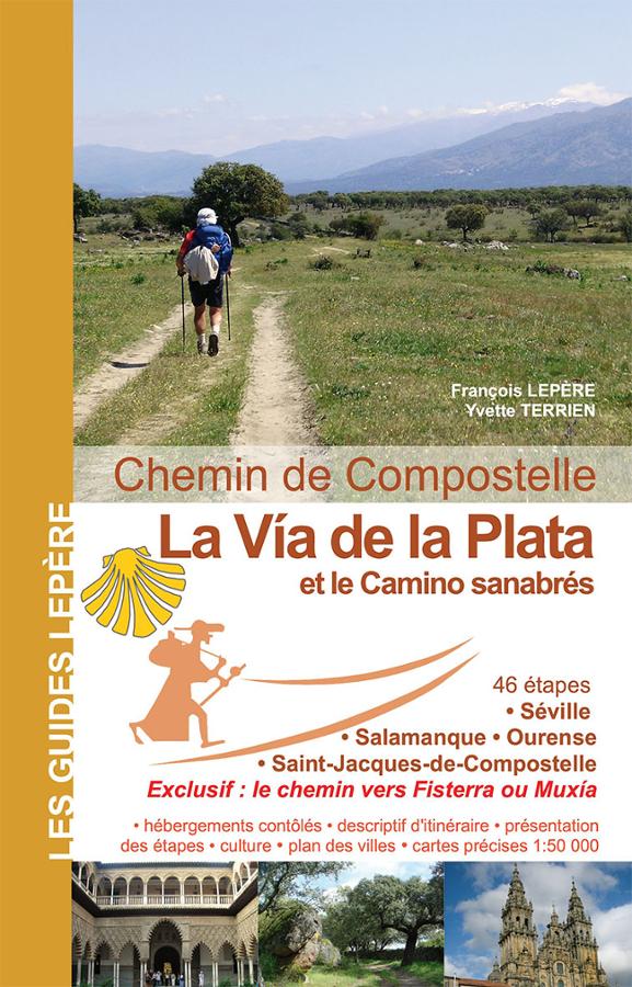
La via de la Plata et le camino Sanabrès - Chemin de Compostelle
Lepère guide to the Via de la Plata and the Camino Sanabrès in 44 stages in Spain, with the Fisterra route and 1:100,000 maps.
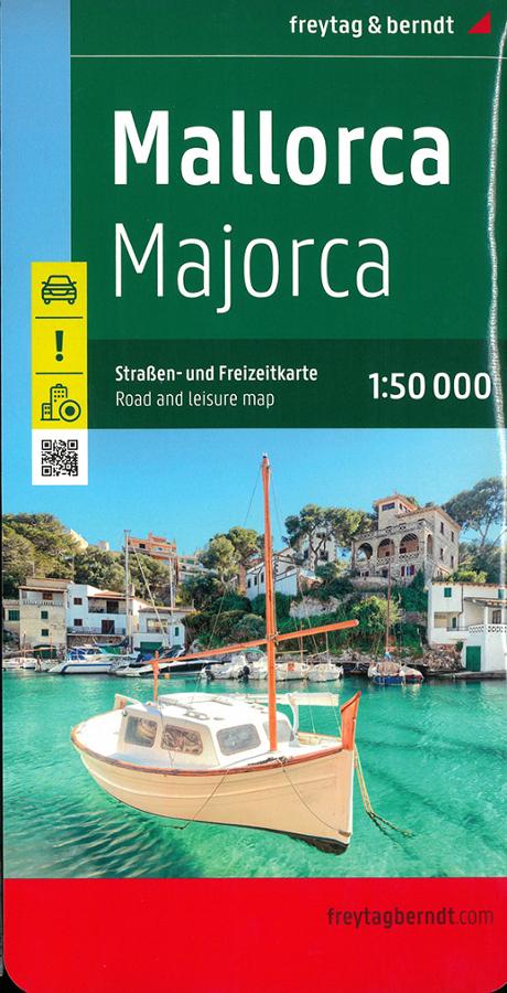
Majorque - carte Freytag & Berndt
Carte routière et touristique sur Majorque Freytag & Berndt au 1/50 000 avec les destinations exceptionnelles et plans de ville.
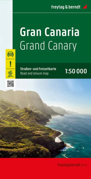
Gran Canaria - Roadmap - Freytag&berndt
Freytag&Berndt road map at 1/50,000 scale (1cm = 500m), multilingual, ultra-resistant to water and tearing. Map of Gran Canaria / Gran Canaria, one of the Spanish Canary Islands. Flower gardens, banana plantations and white (and black!) sandy beaches.