Description
An IGN map for exploring Provence on foot and by bike
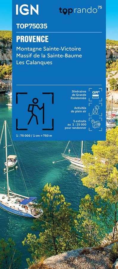
The IGN TOP75 Provence map is ideal for planning a hiking, cycling, or sightseeing trip in the South of France. It covers several major natural sites in Provence, from limestone hills and garrigue scrubland to villages, scenic roads, and the Mediterranean coastline.
Thanks to its 1:75,000 scale, it provides a broad overview of the region. This is useful for planning a trip, identifying major access points, comparing different areas, and planning several outings around Aix-en-Provence, Sainte-Victoire, Sainte-Baume, or the Calanques.
This map is therefore perfect for hikers, cyclists, travelers, and nature lovers.
Sainte-Victoire, Sainte-Baume, and the Calanques: three exceptional sites
Provence offers a diverse range of landscapes. The Sainte-Victoire mountain, made famous by Cézanne, attracts hikers with its ridges, trails, and panoramic views of the Aix-en-Provence region.
Further south, the Sainte-Baume massif offers a more forested and wilder atmosphere, with routes popular with hikers. Finally, the Calanques offer a spectacular setting of white cliffs, turquoise sea, steep paths, and viewpoints overlooking the Mediterranean.
This map allows you to plan a wide variety of outings: day hikes, family walks, cycling tours, sightseeing, or scouting a more challenging route.
A TOP75 map with 5 zooms at 1:25,000
The great advantage of this TOP75 map is that it combines a 1:75,000 overview with 5 1:25,000 details. These zooms provide greater precision on remarkable areas, useful for planning more detailed hikes.
The map also shows roads, trails, GR® (long-distance hiking trails), GR® de Pays (regional long-distance hiking trails), contour lines, landmarks, mountain huts, guesthouses, and tourist information. It therefore allows for a better assessment of distances, terrain, and access.
Finally, it serves as an excellent paper resource to complement a GPS. It helps maintain a comprehensive overview of the area and plan outings with greater perspective.
Highlights:
- IGN TOP75 map dedicated to Provence
- Areas covered: Sainte-Victoire, Sainte-Baume, Calanques
- Main scale 1:75,000
- 5 extracts at 1:25,000
- Ideal for hiking, cycling, and outdoor activities
- GR® and GR® de Pays trails marked
- Contour lines and spot heights for understanding the terrain
- Tourist and heritage information
- Practical overview for planning a trip
- Useful paper version to complement a GPS
FAQ
What area does the IGN TOP75 Provence map cover?
This map covers several major natural sites in Provence, including the Sainte-Victoire mountain, the Sainte-Baume massif, and the Calanques.
Is this map suitable for hiking?
Yes. It shows trails, GR® and GR® de Pays trails, contour lines, spot heights, and useful information for planning a hike.
Can this map be used for cycling?
Yes. It also allows you to locate roads, access points, terrain features, and possible routes for planning bike rides.
What is the difference between 1:75,000 and 1:25,000 scales?
The 1:75,000 scale provides a broad overview of the area. The 1:25,000 scale offers greater detail for specific hiking areas.
Is this map sufficient for hiking in the Calanques?
It is very useful for planning a trip and understanding the area. For a technical or very specific hike, it may be preferable to supplement it with a local IGN TOP25 map.
Features
Name
IGN TOP75 map of Provence – Sainte-Victoire, Sainte-Baume, Calanques
Width
11.5 cm
Height
25 cm
Weight
0.1 kg
Language
French
pubication
2025
Scale
1/75 000
This might interest you
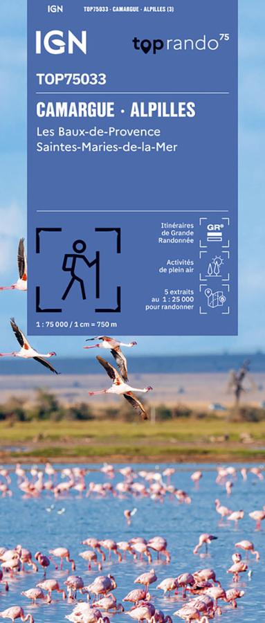
Camargue - Alpilles - carte IGN TOP75
Explore the Camargue and the Alpilles with this IGN TOP 75 map, ideal for planning hikes, bike rides, and sightseeing. From the Camargue to Saintes-Maries-de-la-Mer, and on to the Alpilles and Les Baux-de-Provence, it offers clear 1:75,000 scale mapping, with roads, trails, GR® routes, tourist information, terrain features, and TOP 25 1:25,000 scale zooms.

Enduro - Provence, Vtopo
Découvrez 56 circuits formatés pour l'enduro à travers le Vaucluse, les Bouches-du-Rhône, le Var et les Alpes de Hautes-Provence.