
Description
IGN TOP 25 Ouessant Island map
Get this 1:25,000-scale IGN map to help you prepare your cycling and walking tours of Ouessant Island and Le Conquet in Brittany.
The IGN map includes :
- 1:25,000 scale map
- GPS compatible
- Contour lines
- Tourist information
- Long-distance hiking itineraries
Features :
- Edition: 2024
- Language: French and English
- Dimensions: 25 X 11.1 cm
- Scale : 1/25 000
- Weight : 0.110 kgs
- Publisher: IGN
Features
Name
Ile d'Ouessant TOP 25 - 0317 OT
Length
11.1 cm
Height
25 cm
Weight
0.11 kg
Language
French
This might interest you

Pont-l'Abbé TOP 25 - 0519 OT
IGN TOP 25 hiking and outdoor map around Pont-L'Abbé and the Pointe de Penmarc'h with Grande Randonnée itineraries.
13,90€
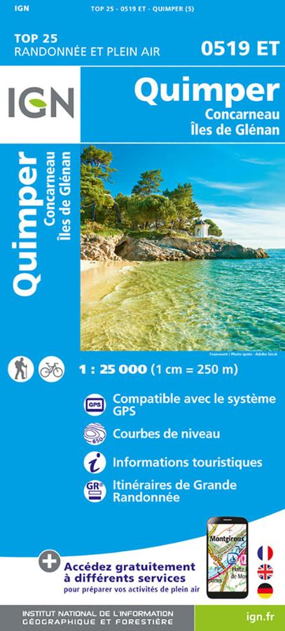
Quimper TOP 25 - 0519 ET
IGN TOP 25 0519 ET map of Quimper, Concarneau and the Glénan islands, with long-distance hiking and biking itineraries.
13,90€