
Description
Pont-l'Abbé IGN map
1:25,000 scale hiking and outdoor map of Pont-l'Abbé and the pointe de Penmac'h in Brittany, with long-distance hiking and biking routes.
The IGN map includes :
- 1:25,000 scale map
- GPS compatible
- Contour lines
- Tourist information
- Long-distance hiking itineraries
Features :
- Edition: 2024
- Language : French and English
- Dimensions : 25 X 11.1 cm
- Scale : 1/25 000
- Weight : 0.110 kgs
- Publisher: IGN
Features
Name
Pont-l'Abbé TOP 25 - 0519 OT
Length
11.1 cm
Height
25 cm
Weight
0.11 kg
Language
French
This might interest you
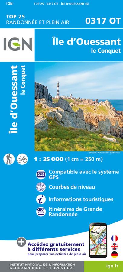
Ile d'Ouessant TOP 25 - 0317 OT
IGN TOP 25 map of Ushant Island and Le Conquet, with long-distance hiking and biking routes.
13,90€
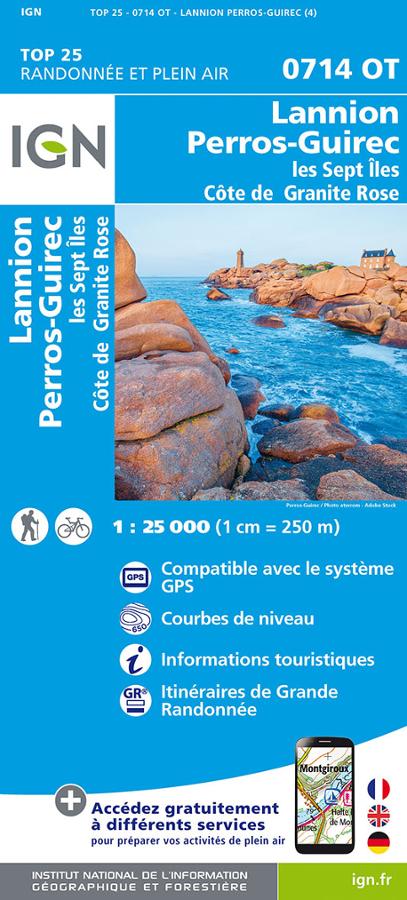
Lannion - Perros-Guirec - Côte de Granit Rose TOP 25
IGN TOP 25 hiking and outdoor map on Lannion, Perros-Guirec, the Seven Islands and the Pink Granite Coast with long-distance hiking routes.
14,10€
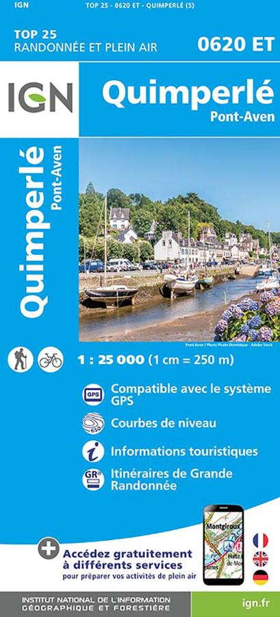
Quimperlé - Pont-Aven TOP 25 - IGN
IGN 0620ET TOP 25 hiking and outdoor map in Quimperlé and Pont-Aven with long-distance hiking routes and tourist information.
14,10€