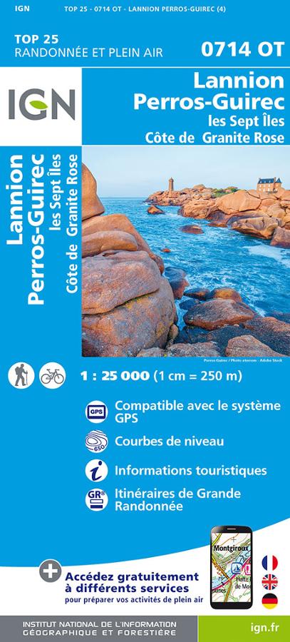
Description
IGN map of Lannion, Perros-Guirec and pink granite coast
The IGN 0714OT is an essential hiking map, recognized for its very high precision. It offers exhaustive coverage of all the details present on the land, including communication routes, paths, constructions such as sheds, woods, isolated trees, rivers and sources.
In addition, it faithfully represents the relief using contour curves, thus providing a clear understanding of the terrain and its elevation. Marked trails and tourist information are also included, allowing hikers to plan their routes safely and fully enjoy their exploration.
The card includes:
- Compatible with the GPS system
- Contour line
- Tourist information
- Long-distance hiking routes
Features :
- Edition: 2024
- French language
- Dimensions: 24 x 11 cm
- scale: 1/25,000
- Weight: 0.110 kg
- Publisher: IGN
Features
Name
Lannion - Perros-Guirec - Côte de Granit Rose TOP 25
Length
11 cm
Width
1 cm
Height
24 cm
Weight
0.110 kg
Language
French
Type
Map
This might interest you
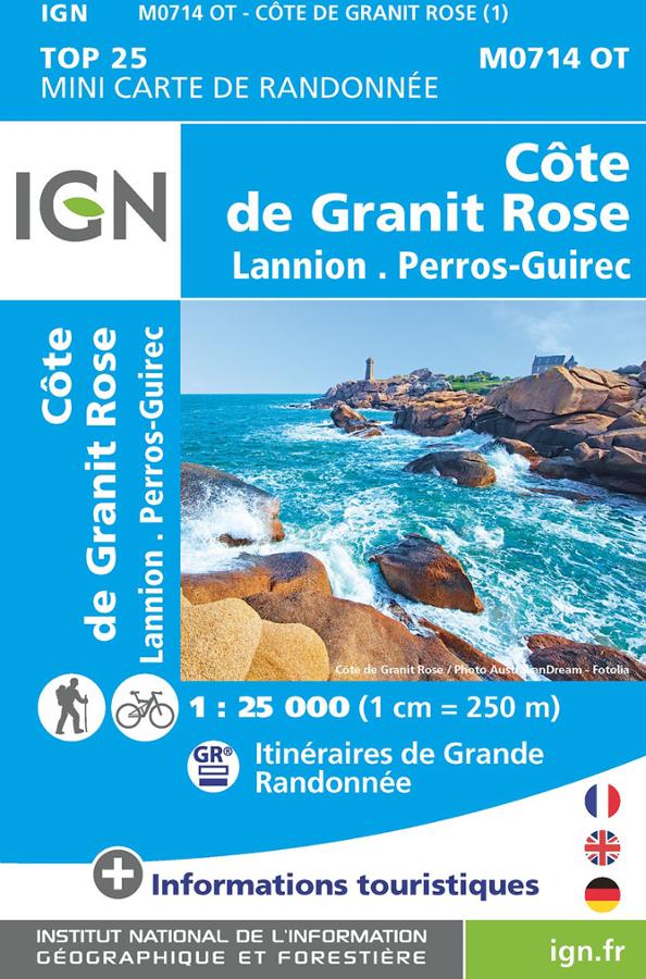
Côte de Granit Rose - Lannion - carte IGN
TOP 25 mini carte IGN de randonnée à vélo et à pied sur la Côte de Granit Rose, Lannion et Perros-Guirec au 1/25 000.
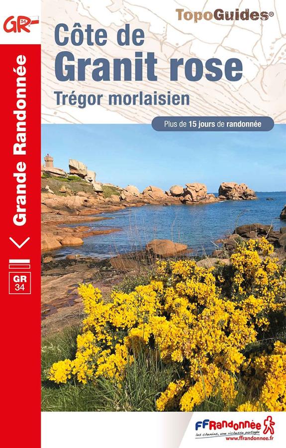
Côte de Granit rose-Côte du Golëo-GR34
Des Côtes-d'Armor au Finistère, de Saint-Brieuc à Morlaix, le Sentier des Douaniers s'offre à vous sur les falaises les plus hautes de Bretagne. 3 randonnées pédestres de 3 à 5 jours.