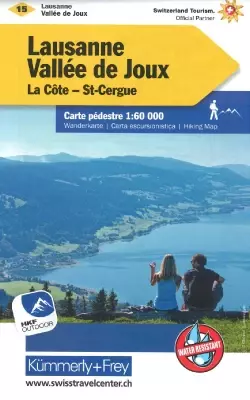


Description
Lausanne hiking map
Kümmerly+Frey, in collaboration with cantonal and local hiking organizations, publishes a series of maps covering the entire Swiss territory. These 33 maps highlight the most beautiful hiking regions in Switzerland, mostly at a scale of 1:60,000 (1 cm = 600 m), ideal for your walks.
The routes are classified as "hiking trail", "mountain trail" and "alpine route".
The plus: you can download the map for free on your smartphone using the included access code.
On the front a general map at 1/60,000 with
Reliefs by shading and contour lines
Marked hiking trails classified according to their difficulty
Hotels, youth hostels, refuges, campsites and restaurants
Tourist information
Road network, bus stops, parking lots, railways and cable cars
This map is GPS compatible - 1km UTM grid
On the back a map of the region and an index
Features :
- Edition: 2024
- Language: Legend in French, English, Italian and German
- Dimensions folded: 20 x 13 cm
- Flat dimensions: 98 x 80 cm
- Scale: 1/60,000
- Weight: 0.105 kgs
- Printing: double-sided waterproofed
- Publisher: Kümmerly & Frey
Features
Name
Hiking map - Lausanne, Vallée de Joux, La Côte and St Cergue
Length
20 cm
Height
13 cm
Weight
0.15 kg
Type
Map
This might interest you
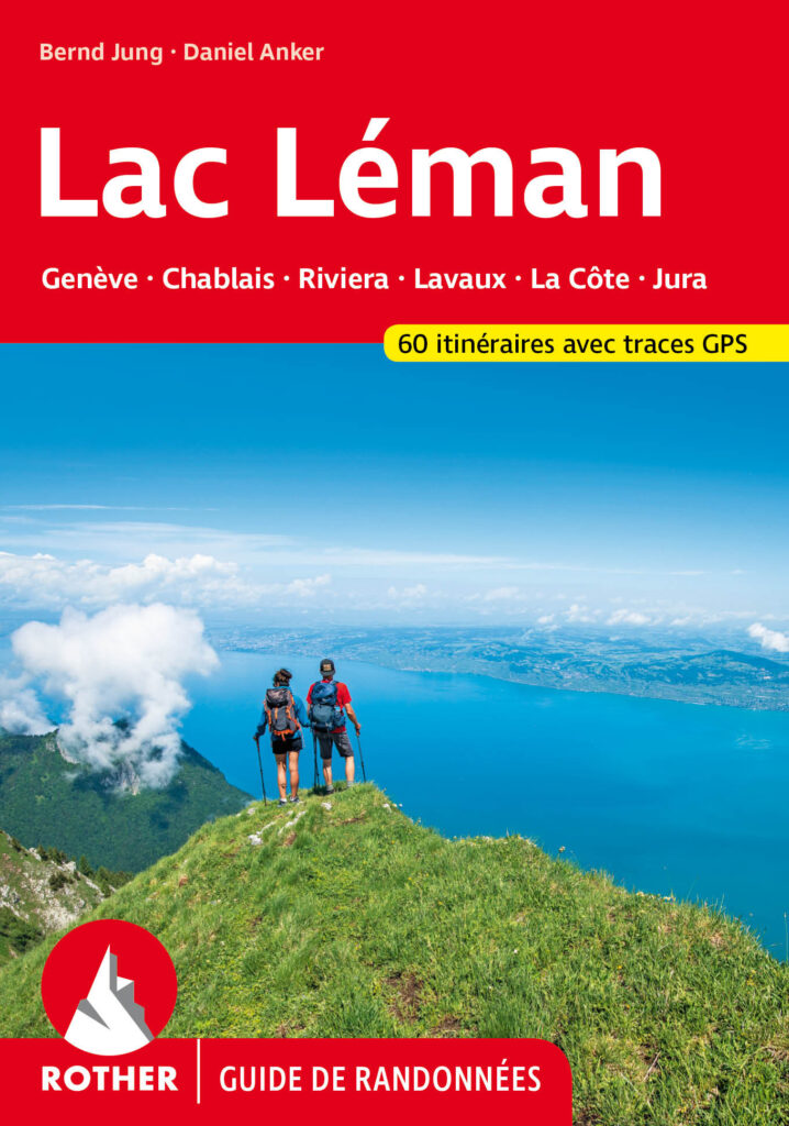
Lac Léman / Lake Geneva · 60 hiking trails
New ROTHER edition, 60 routes with GPS tracks, around Lake Geneva / Lac Léman - 55 hikes and 5 long multi-day hikes. The idyllic landscapes of Lac Léman, accessible to all levels !
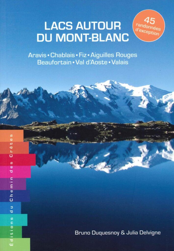
Lakes around Mont-Blanc - 45 exceptional hikes
45 hiking routes around the most beautiful Mont-Blanc lakes in France, Switzerland and Italy. From Chablais to the Aiguilles Rouges via Mont-Blanc.