

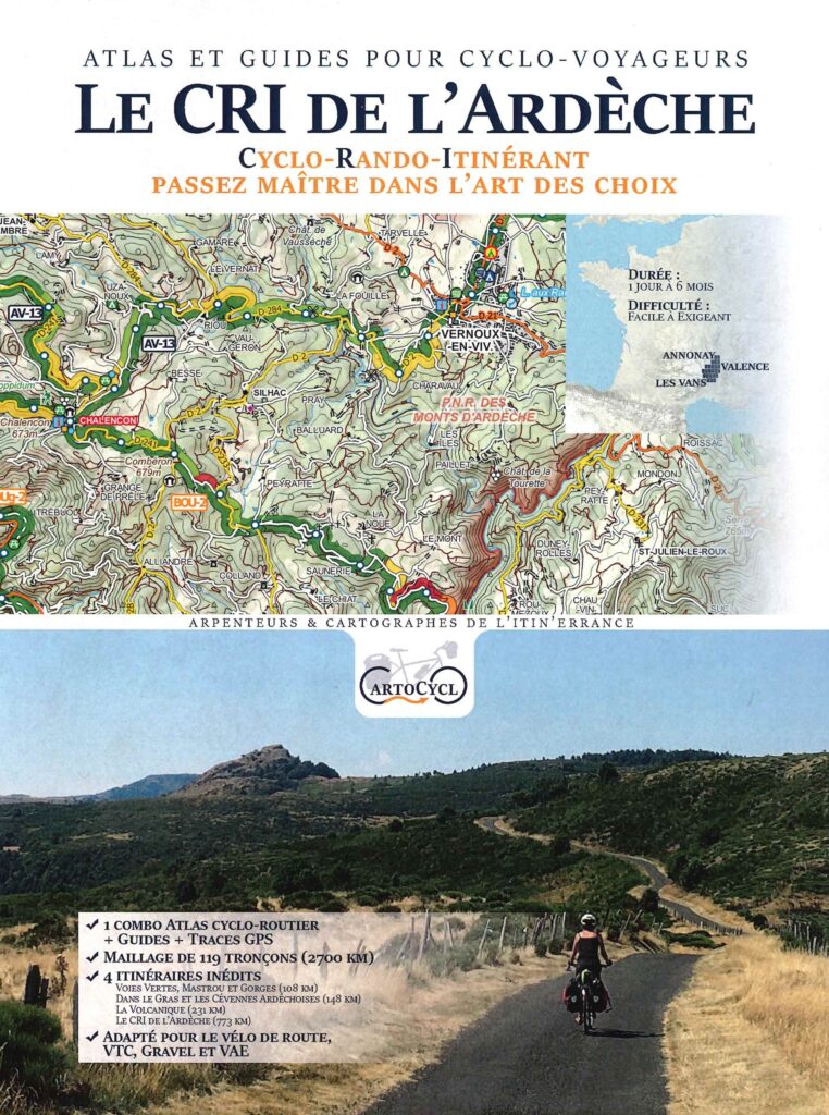
Description
Ardèche by bike
The Monts d'Ardèche Regional Nature Park invites you on a journey to the heart of nature. Between the southern Cévennes and the Sucs, the landscapes are varied and breathtaking. From chestnut forests to granite chaos, including young volcanoes, every corner contains geological and biological treasures.
CartoCyclo, Surveyors and Cartographers of roaming, offers you itineraries for VTC, GRAVEL and VAE.
Hiking, swimming, discovering heritage, there is no shortage of activities. You will be seduced by the authenticity of the villages and the warmth of the welcome from the inhabitants.
This laminated folder includes:
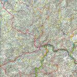
- 12 double-sided maps on IGN background - A4 format, folded A5
- Maps at 1/75,000
- 119 sections
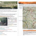
- 1 32-page guide (21 x 29.7 cm)
- Advice for preparing your trip
- Historical information on each route
- Duration: 1 day to 6 months
- Difficulty: Easy to demanding
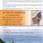
4 new routes:
- Greenways, Mastrou and Gorges (108 km)
- In the Gras and the Cévènes Ardéchoise (148 km)
- La Volcanique (231 km)
- Le Cri de l'Ardèche (773 km)
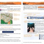
Downloadable from Cartocyclo with the promo code indicated in the folder:
- Access to interactive maps
- GPS tracks
- Detailed guide to the 119 sections
- Access to the mini-website "le cri de l'Ardèche"
Features
Name
Le CRI de l'Ardèche - Atlas and cycle guide CartoCyclo
Length
29.7 cm
Width
21.00 cm
Height
0.50 cm
Weight
0.206 kg
Language
French
Type
Guide, Topoguide
This might interest you
Le CRI de l'Ardèche - Atlas and cycle guide CartoCyclo
Discover the Monts d'Ardèche Regional Natural Park by VTC, VAE and Gravel with this pocket containing a guide and 12 maps. Advice on how to properly prepare your itineraries as well as historical and tourist information.
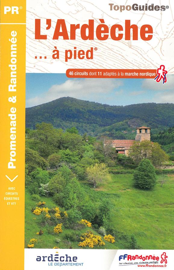
L'Ardèche à pied
Topoguide FFRP de l'Ardèche à pied entre Massif Central et vallée du Rhône. 46 circuits dont 11 adaptés à la marche nordique avec cartes IGN.