Description
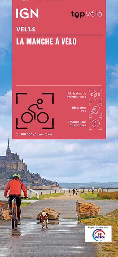
IGN map of the English Channel by bike
The TOPVELO series returns with a complete revision including an updated departmental breakdown. With its new scale of 1:100,000 (1 cm = 1 km), the TOPVELO offers the perfect map to prepare for your trip. The cycle routes are specially designed in partnership with the AF3V association - VéloRoutes et Voies Vertes, guaranteeing a safe and enriching experience.
This card includes:
- Cycle tourism routes
- Mountain bike routes
- Tourist information
- 7 circuits in Calvados
- 62 circuits in the Calvados
- A zoom of Caen
Everyone has their own route with route ideas for diverse and varied nature activities.
Features :
- Edition: 2024
- Language: French, English
- Flat dimensions: 121 x 100 cm
- Folded dimensions: 25 x 11.1 cm
- Printing: Single sided
- scale: 1/100,000
- Weight: 0.100 kgs
- Publisher: IGN
Features
Name
The English Channel by bike - IGN 1/100,000
Length
11 cm
Width
1 cm
Height
25 cm
Weight
0.03 kg
Language
English, French
Type
Map
This might interest you
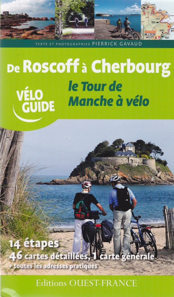
De Roscoff à Cherbourg, le tour de Manche à vélo
Le Tour de Manche of Roscoff in Cherbourg. Northern Britain and Normandy.
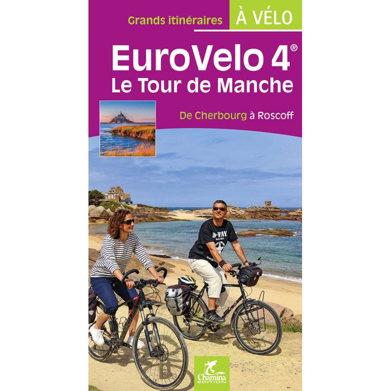
Around French Channel by bike - Eurovelo 4- from Cherbourg to Roscoff
Plan your EuroVelo 4 trip with this Chamina guide dedicated to the Tour de Manche from Cherbourg to Roscoff. Between the Norman bocage, the Cotentin peninsula, Mont-Saint-Michel, the Emerald Coast, Saint-Malo and the Pink Granite Coast, this nearly 780 km route offers a magnificent cycling trip between Normandy and Brittany.
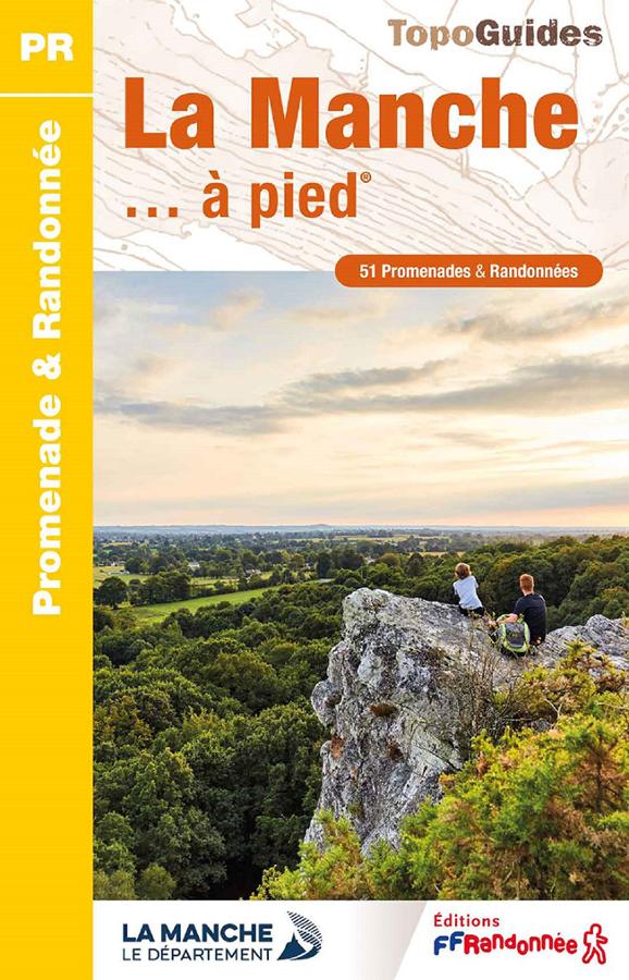
The English Channel on foot
FFRP topoguide on the English Channel on foot with 51 walks and hikes from the Bais du Mont-St-Michel to the marshes and cliffs of Cotentin.