
Description
Hike on the customs trail
FFRP hiking topoguide on the English Channel between the bay of Mont-st-Michel and the cliffs of Cotentin. Walk the customs trail through landscapes of dunes and salt meadows. You will have the pleasure of admiring and visiting a remarkable architectural and historical heritage with abbeys, castles, the Coutances cathedral or even Villedieu-les-Poêles, Valognes and the landing beaches.
The FFRP guide includes:
- description of marked and secure trails
- suitable for multi-day hiking
- 51 walks and hikes
- essential practical tool to prepare your trip with accommodation, stages and means of access
- FFRP expertise associated with IGN maps
Features :
- Edition: 2024
- French language
- Dimensions: 21 x 13.4 cm
- Number of pages: 144
- Weight: 0.200 kg
- Publisher: FFRP
Features
Name
The English Channel on foot
Length
13.4 cm
Width
0.7 cm
Height
21 cm
Weight
0.200 kg
Language
French
Type
Topoguide
This might interest you
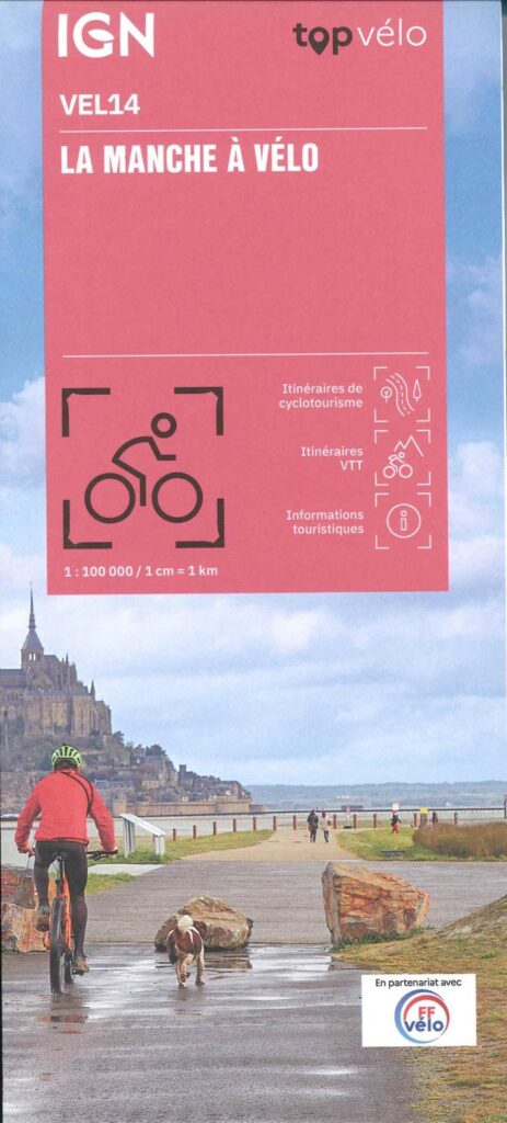
The English Channel by bike - IGN 1/100,000
Ideal map to prepare your cycling trip in the Channel. It offers cycle touring and mountain biking routes, 69 circuits between the English Channel and Calvados.
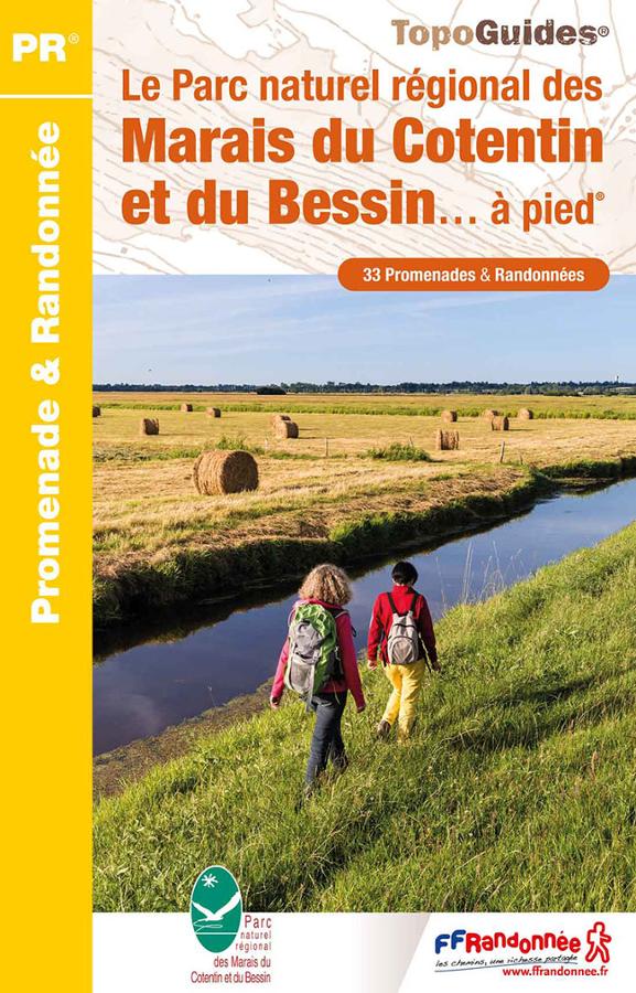
Le Parc naturel régional des marais du Cotentin et du Bessin à pied
FFRP hiking topoguide on the PNR of Cotentin and Bessin on foot with 33 walks and hikes.

The English Channel on foot
FFRP topoguide on the English Channel on foot with 51 walks and hikes from the Bais du Mont-St-Michel to the marshes and cliffs of Cotentin.