
Description
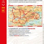
Great Hike around the Mountains and Lakes of Haut-Languedoc
FFRP hiking guidebook on the GR Pays between the Mediterranean Sea and the Atlantic Ocean, in the Haut-Languedoc natural park.
To the north, the most athletic will find the Lacaune and Caroux mountains and to the south, plateaus and lakes with exceptional panoramas.
You will have a choice of roaming with several loops of 2 to 4 days to achieve among others: the tour of the Espinouse or the lake of Laouzas.
The FFRP topoguide includes:
- Description of marked, secure and maintained trails
- Suitable for multi-day hiking, backpacking
- Essential practical tool to prepare your itinerary with stages, accommodation, means of access...
- FFRandonnée expertise associated with IGN maps
Features :
- Edition: 2023
- French language
- Dimensions: 21 x 13.5cm
- Number of pages: 180
- Weight: 0.20kg
- Publisher: FFRP
Features
Name
Tours des monts et lacs en Haut-Languedoc
Length
13.5 cm
Height
21 cm
Weight
0.2 kg
Language
French
Type
Topoguide
This might interest you
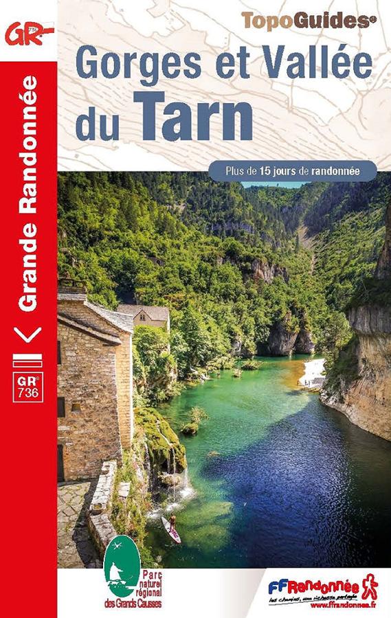
Gorges et Vallée du Tarn - GR®736
FFRP hiking topoguide Gorges and Tarn valley on the GR736 with more than 15 days of hiking between Mont Lozère and the Garonne.
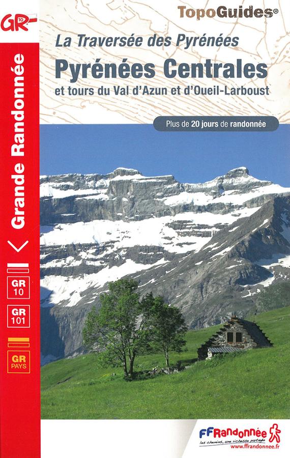
La Traversée des Pyrénées - Pyrénées Centrales - GR10 - GR101 - GR Pays
Topoguide de randonnée pédestre FFRP sur la traversée des Pyrénées centrales et tours du Val d'Azun et d'Oueil-Larboust sur les GR10, GR101 et GR Pays.
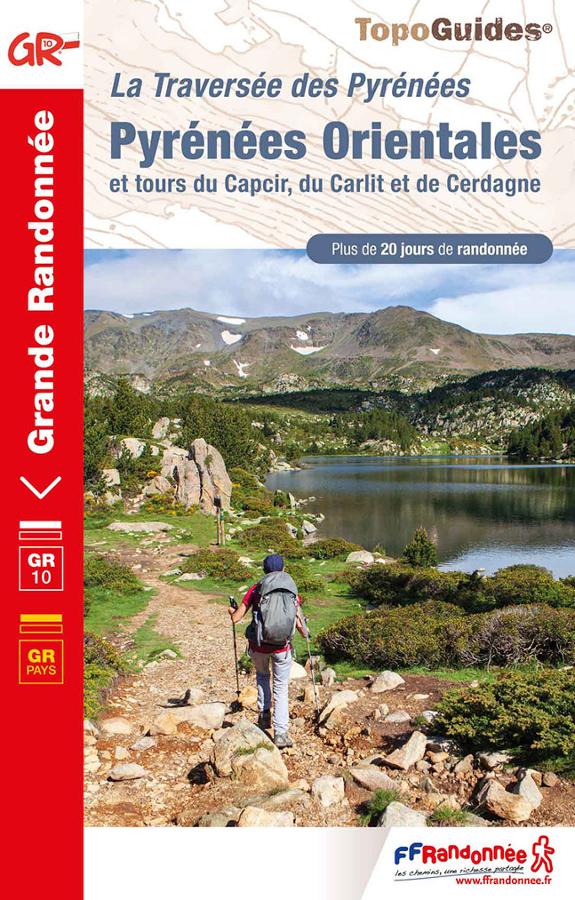
La traversée des Pyrénées-Pyrénées Orientales - GR10 - GR pays
De Mérens-les-Vals à Banyuls-sur-Mer, entre terre et mer, la dernière partie de la traversée des Pyrénées, les Pyrénées Orientales le terrain de jeu idéal pour la randonnée pédestre.