
Description
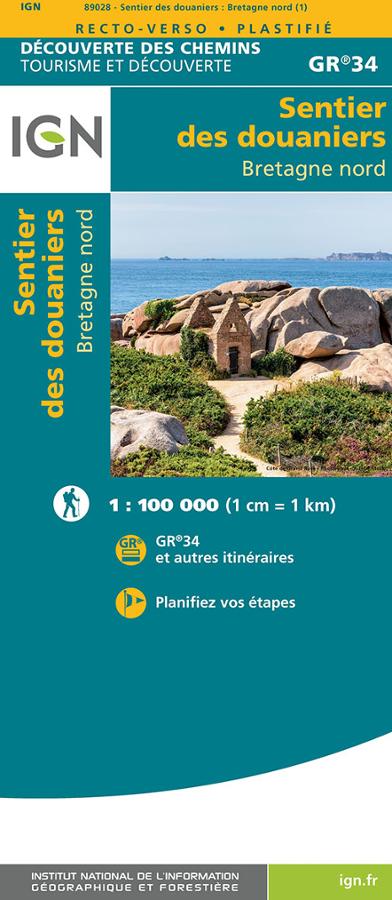
The customs path - North Brittany
Prepare your itinerary on the GR34 with this tourism and discovery map which covers the whole Breton coast from the Mont-st-Michel bay to Saint Nazaire.
This GR was elected favorite of the French in 2018!
The 1:100,000 map offers nearly 2000 km of hiking on foot.
Characteristics:
- Edition : 2021
- Language : French, English
- Dimensions : 25 X 11.10 cm
- Scale : 1/100 000
- Weight : 0.1 kgs
- Publisher : IGN
Features
Name
Le sentier des douaniers Bretagne nord - GR34
Width
11 cm
Height
25 cm
Weight
0.1 kg
GR
GR34
Language
English, French
Publishers
IGN
This might interest you
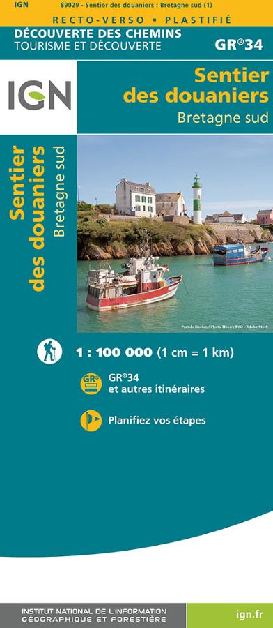
IGN Map: Customs Officers' Path (GR®34) – South Brittany
Carte IGN sur le sentier des douaniers, le GR®34 dans le sud de la Bretagne au 1/100 000. D?couverte des chemins sur le GR®34 et autres itinéraires.
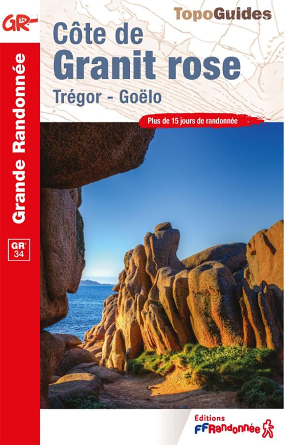
FFRandonnée GR®34 Guidebook – Pink Granite Coast
Plan your hikes along the GR®34—the famous "Customs Officers' Path"—with this FFRandonnée guidebook dedicated to the Pink Granite Coast. Covering the area between Perros-Guirec, Ploumanac’h, Trégastel, and Trébeurden—with its beaches, harbors, pink rock formations, and coastal vistas—this guide accompanies walkers along one of the most beautiful stretches of the Brittany coastline. It is an essential resource for organizing a hike on the GR34, a day trip, or a walking holiday in the Côtes-d’Armor.
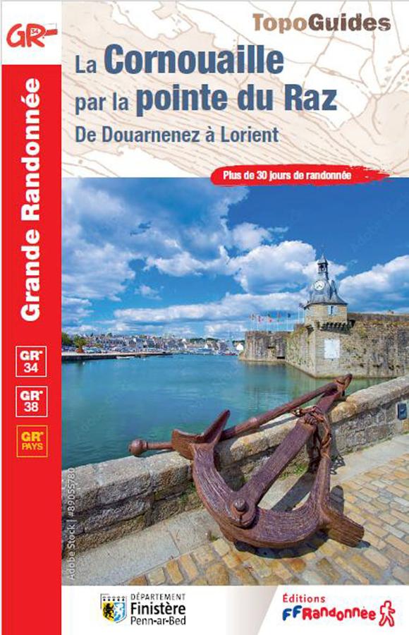
The Cornouaille via the tip of Raz, from Douarnenez to Lorient
Topoguide of hiking FFRP on Cornouaille by the Pointe du Raz from Douarnenez to Lorient with more than 30 days of hiking.