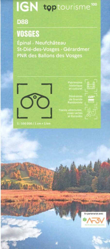
Description
IGN TOPtourisme map of the Vosges
The TOPTourisme series returns with a complete revision including an updated departmental breakdown. With its new scale of 1:100,000 (1 cm = 1 km), the TOP 100 offers the perfect map for preparing and exploring the Vosges region via Epinal, Neufchâteau, St-Dié-des-Vosges, Gérarmer. The cycle routes are specially designed in partnership with the AF3V association - VéloRoutes et Voies Vertes, guaranteeing a safe and enriching experience.
This card includes:
- Ballons des Vosges PNR
- Historical and cultural heritage information
- Long-distance hiking routes
- Cycle routes, greenways and Eurovélo routes
Everyone has their own route with route ideas for diverse and varied nature activities.
Features :
- Edition: 2024
- Language: French, English
- Flat dimensions: 121 x 100 cm
- Folded dimensions: 25 x 11.1 cm
- Printing: Single sided
- scale: 1/100,000
- Weight: 0.100 kgs
- Publisher: IGN
Features
Name
TopTourism - IGN les Vosges map
Length
11 cm
Width
1 cm
Height
25 cm
Weight
0.03 kg
Language
English, French, German
Type
Map
This might interest you
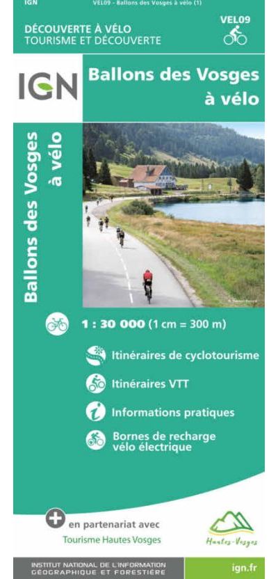
Ballons des Vosges à vélo - carte IGN
Carte IGN sur les itinéraires de cyclotourisme dans les Ballons des Vosges au 1/30 000 avec informations pratiques et indication des bornes de recharge vélo électrique.
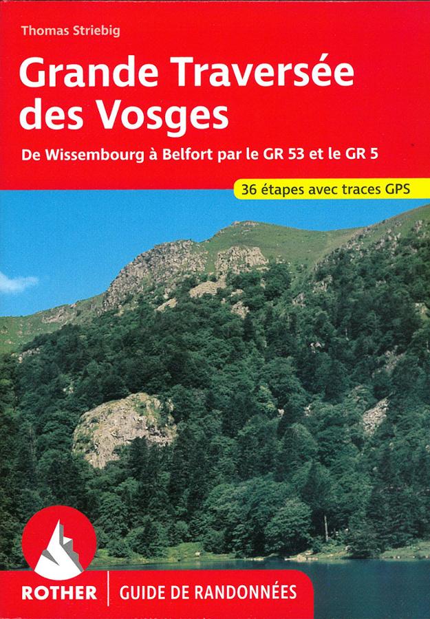
Rother Guide Great Crossing of the Vosges – GR®53 and GR®5
Prepare for your hike on the Great Vosges Crossing with this Rother guide dedicated to the GR®53 and GR®5 trails. From Wissembourg to Belfort, the route traverses the Alsatian Vosges, its ridges, forests, villages, and sweeping panoramas. Detailed descriptions, maps, elevation profiles, and GPS tracks accompany hikers throughout the entire journey.
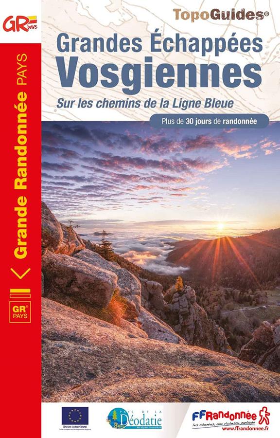
Grandes échappées Vosgiennes sur les chemins de la ligne bleue
FFRP hiking topoguide on the great Vosges escapes with 38 day hikes on 3 GR.