

Description
Ardèche Map : on foot and by bike
The Ardèche, with its wild and varied landscapes, is an exceptional playground for walking and cycling tourism. Hikers can explore the majestic Gorges de l'Ardèche, the forests of Mont Gerbier de Jonc, Mont Mézenc or the terraced vineyards of the Cévennes ardéchoises.
For cyclists, the Dolce Via, a former railroad line rehabilitated as a cycle path, offers 90 km of safe cycling through the Eyrieux valley. The trails of the Monts d'Ardèche Regional Nature Park also offer the chance to discover picturesque villages, centuries-old chestnut groves and breathtaking panoramas. This department, rich in history and nature, is a must for lovers of the great outdoors.
This map includes :
Historical and cultural heritage info
Grande Randonnée itineraries: GR42, GR429, GRP Massif d'Uchaux, GR4, GRE4GRP Vallée de Cèze, GR44B, GR68, GRP Tour de Chassezac, GRP Montagne Ardéchoise, GRP Tour de Tanargue, GR700, GR70, GR470
Cycle routes, greenways and Eurovélos: La ViaRhôna, La Dolce Via
To each his own, with route ideas for a variety of nature activities.
Features
Name
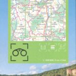
Carte Ardèche - Privas, Aubenas, PNR des Monts d'Ardèche IGN TOP 100
Length
11 cm
Width
1 cm
Height
25 cm
Weight
0.1 kg
Scale
1/100 000
Type
Map
This might interest you
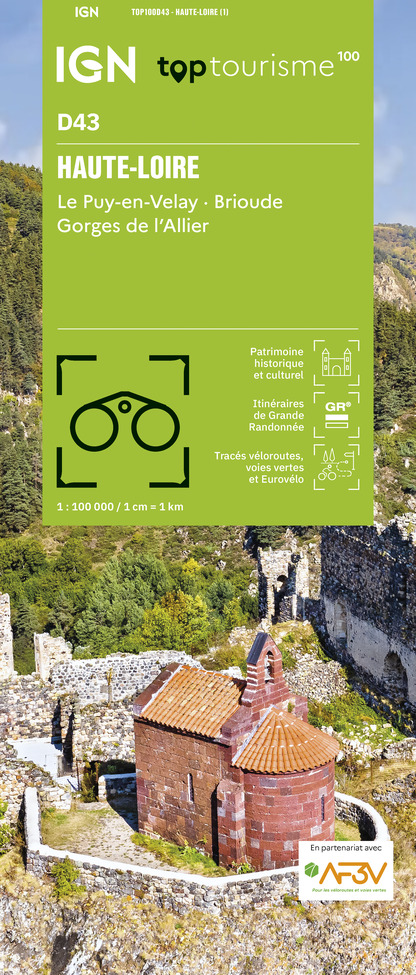
Carte Haute Loire - Le Puy en Velay, Brioude, Gorges de l'Allier IGN TOP 100
2024 Edition. Discover the Haute-Loire department by bike and on foot. From Brioude to Puy-en-Velay, in the land of old dormant volcanoes with the Auvergne Volcanoes Regional Nature Park ! Ideal for family hikes.
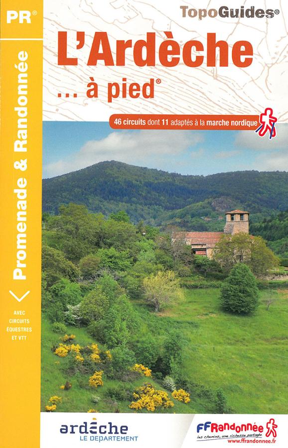
L'Ardèche à pied
Topoguide FFRP de l'Ardèche à pied entre Massif Central et vallée du Rhône. 46 circuits dont 11 adaptés à la marche nordique avec cartes IGN.
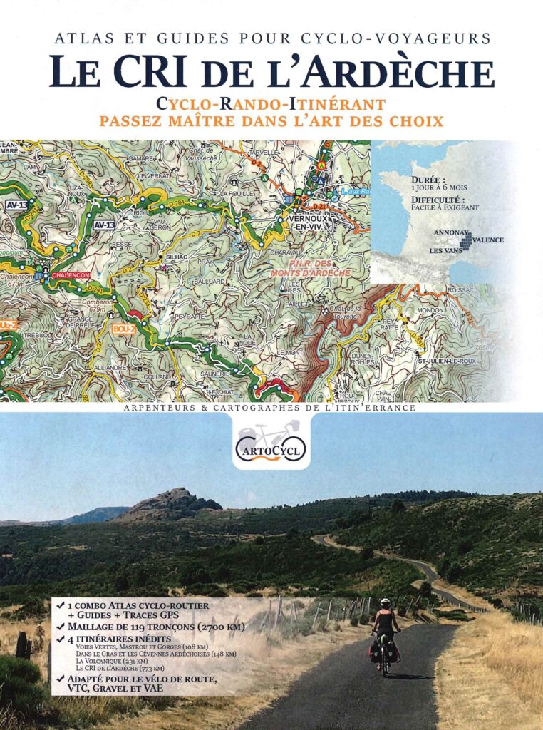
Le CRI de l'Ardèche - Atlas and cycle guide CartoCyclo
Discover the Monts d'Ardèche Regional Natural Park by VTC, VAE and Gravel with this pocket containing a guide and 12 maps. Advice on how to properly prepare your itineraries as well as historical and tourist information.